Showing 1-50 of 84 posts. Most recent first | Next 50  
|

|

|
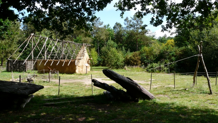
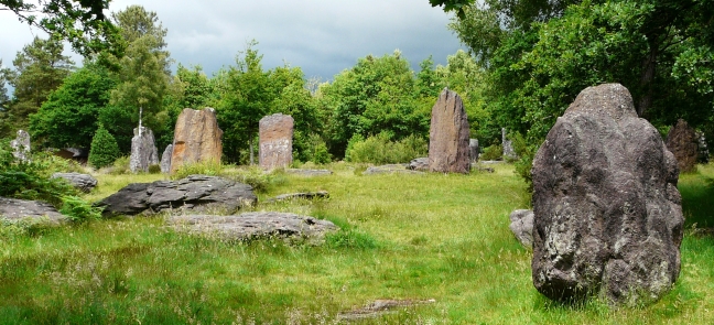
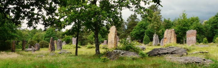
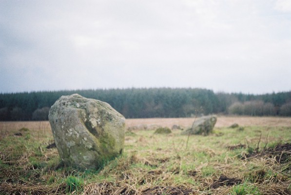
Although hailed as one of the most important megalith sites in France, this seems to be relatively unknown. We only found out about it through a sentence in a guide book of Brittany.
The site is on the D776 a mile or so NW out of Monteneuf towards Guer (which is about 40k SW of Rennes)
It is right by the road side and you can't miss it.
There is a huge car park on the other side of the road and a map showing walks through the woods and local area.
The stones were only rediscovered 30 odd years ago when a forest fire revealed them.
Only a handful of the 400+ stones were still standing and since then many have been re-erected.
It is difficult to make sense of the site - there are just so many stones here, and while my mind tried to sort it out into this line and that line, my feelings were running away with themselves. This is an awesome place!
The visitor centre was not open when we were there (mid June) but there are some interpretive boards around and about. It seems like this is an ongoing project of discovery for the French archeos.
There seems to be many more stones/ dolmens in the surrounding woodlands.
I reckon this has to be one of the must visit sites in Brittany - and if you do go allow plenty of time for wandering and discovering.
|
   
|
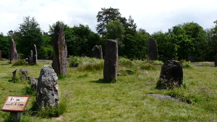
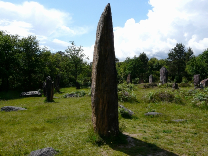
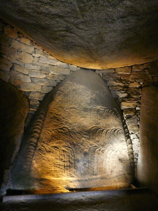
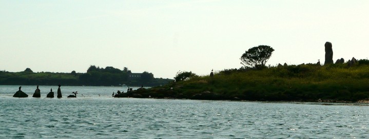
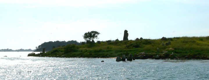
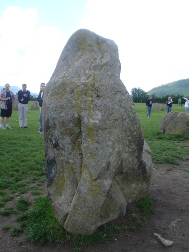
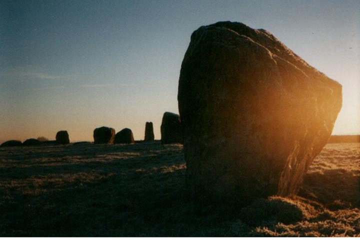
If you are in Brittany Go To Gavrinis!!
Boats go from Larmor Baden several times a day March - November. Phone 0297 571938 for reservations. Take the last sailing daily and get a close pass of Er lannic too. Cost 12 -15 euro.
Gavrinis is totally awesome. The carvings there have got to be seen. Go prepared just to be overwhelmed by it - no cameras or bags are allowed inside so your only record will be in your memory.
Also brush up on your French first - the tour is all in French although our guide did her best to translate for us. There is plenty of information on multilingual boards outside which gives you the gist. Whilst inside forget about the commentary and just be humbled by its magnificence!
|

|
From the Domaine departmental du Morbihan leaflet "er lannic"
"In 1866 De Closmadeuc discovered the prehistoric site of Er Lannic. He made a rapid description of the northern hemicycle composed of 60 blocks of stone and it was only in 1872 that thanks to a very low tide that he discovered the second semi-circle, 4 or 5 menhirs which had been submerged were still upright....The site was restored by Le Rouzic and St Just Pequart between 1923 and 1926. An excavation revealed chests, fireplaces and lithic material (flint stones, poliching stones, strikers, polished axes and grinders) and about 800kg of pottery."
|
 
|
The last boat to Gavrinis ( 4.30pm April,May, June , 5 pm July, Aug, Sept) makes a close pass of Er Lannic, with a guide and commentary (in French) Cost us 15euro a head for the full thing including Gavrinis ( you get a small discount if you go to carnac/locmariaquer first and keep your stamped card)
make a reservation on 0297 571938.
Absolutley worth it - what an awesome thing to see these semi submerged megalithic circles - to say nothing of traversing one of the most powerful sea currents in the world!
Our guide was very sweet and keen and did her utmost to translate for us.
|
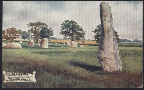
Long Meg geophysics survey discovers possible missing twin.
Front page news from The Cumberland & Westmorland Herald 24/03/07
Unlocking Mysteries of Ancient Stone Circle
An Eden student is leading the way in unlocking the mysteries of a 'forgotten' ancient stone circle, Long Meg and her Daughters, near Little Salkeld.
Sarah Potter, of Yanwath, who is in the third year of a degree in archaeology at the University of Manchester, carried out the first complete geophysics survey of the stone circle over a three day period last week.
Long Meg is the third largest stone circle in Britain, following Avebury outer stone circle and Stanton Drew, in Somerset. The circle consists of 68 stones, of which 27 are still standing, and an outlier stone called Long Meg.
After being granted permission by English Heritage, Sarah used modern resistivity equipment to conduct the field work which will form the basis of a 12,000 word dissertation. Her findings will also be published in an archaeological journal next year. The Long Meg pillar, which is made of local red sandstone, is believed to have come from the source of the nearby River Eden, and all of the other stones are glacial erratics. Four of the stones are made of quartz, also known as crystal stones.
"There has never been any excavational work done on the site," said Sarah. "It seems to have been forgotten about. There is not enough money in Cumbria for excavational work other than rescue excavation."
But, she said, now there were some good results which would point experts in the right direction as to where to look for further clues. An excavation would enable a date to be pinpointed for the stone circle. At present it is believed that the stones were collected and erected during the Neolithic period (4000-2250 BC) – when the introduction of farming and the domestication of animals began.
The resistivity equipment which she used sends a current of electricity into the ground to receive back different readings. Dry areas, such as stone, send a different reading to moist ditch deposits.
Sarah, the daughter of Helen and Malcolm Potter, was helped by her friend, Leon Williams, from Cork, Southern Ireland, to carry out the work. She said ground conditions were perfect. "I now believe that Long Meg is no longer an outlier stone, but in fact was one of a pair of stones which flanked the entrance to the circle," said Sarah, who is a former Ullswater Community College and Clifton Primary School pupil.
Another interesting finding which Sarah made is that there might have been a large bank which encircled the stones. Other anomalies were also found under the ground which only excavational work will be able to fully explain.
"I want to raise awareness of the vast Cumbrian prehistoric landscape which is unique to England and is comparable to the area around Stonehenge," said Sarah
|
  
|

|
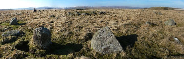
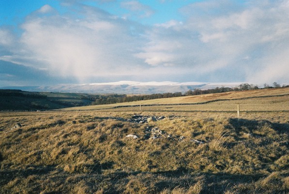
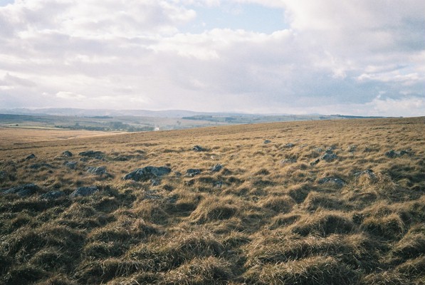
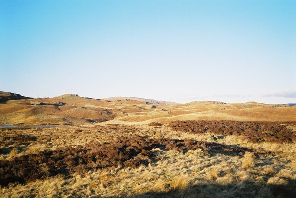
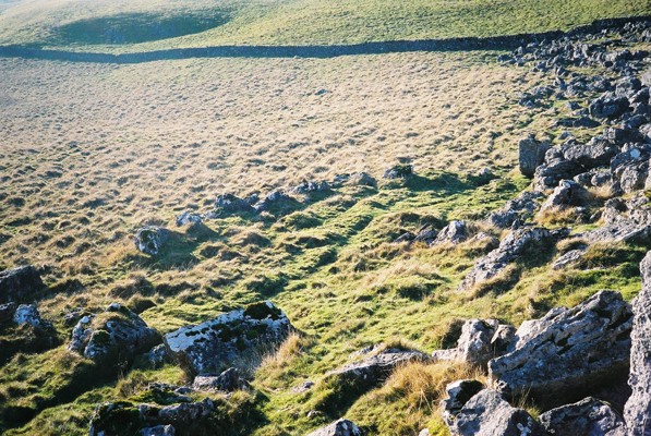
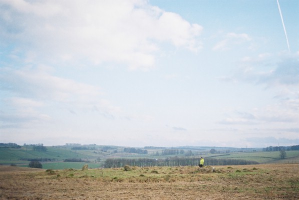
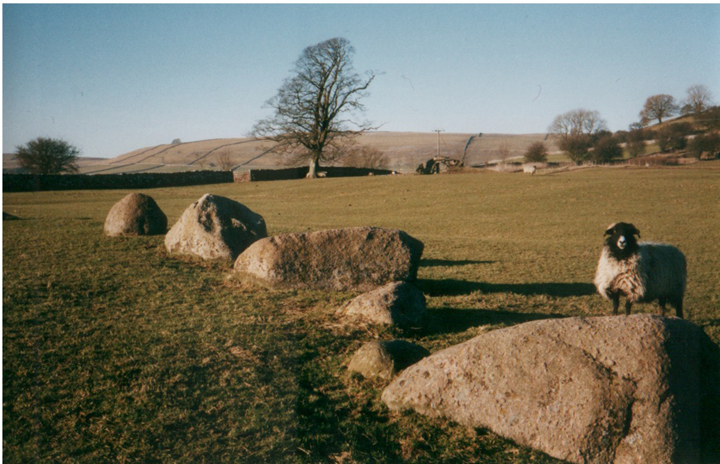
Wild place. I was up here in March watching snow storms rushing down the Eden valley.
I read somewhere that this was originally three concentric circles. There are also various stone lines up here. Some unusual weathering on several of the stones. Very interesting and atmospheric place.
Castle Folds is clearly visible to the south.
|
|
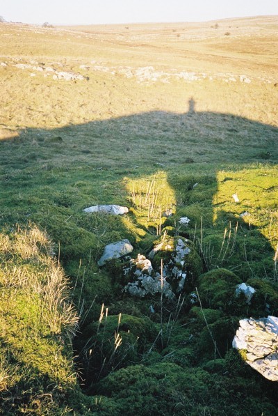
Included in "Walks in Ancient Lakeland" by Robert Harris. ISBN1-85058-763-9..."a large ringcairn of rough gritstone...It is about ten paces across and, most intriguingly has a row of stones leading from it for almost a hundred paces towards the main hill beyond."
|
  
|

|
|
Just down the slope and over the wall from White Hag stone circle, it would be a shame not to take a look at this while you're there.
|
 
|
 
|
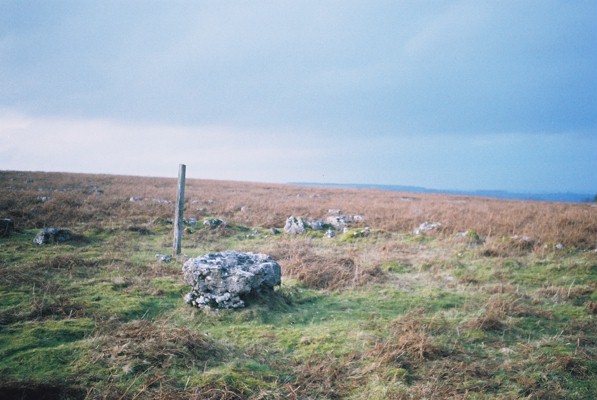
NB. This site is of disputed antiquity.
Reported by Flint in TCWAAS 1960 vol 60 p201, but since dismissed as a cockpit. John Waterhouse includes it in the postscript to "The Stone Circles of Cumbria" saying "it does look very much like an early bronze age stone circle, and it would conveniently fill a gap in the distribution map of stone circles."
This site is not particularly easy to find, even in winter when the vegetation is low. I managed to find it from the grid ref and a lot of mooching around in the heather. Here're few pointers to make it a bit easier:
Park at the bottom of the fell lane at SD505978. Follow the lane up to the top out into the open pasture. Keep roughly the same distance away from the fence on your right as you head for the highest land. Come to the wall at the highest point where there is a very ruined stile. It is possible to cross over the wall here without damage to self or wall. Look for noticeable large rock to right, the circle is in the heather between you and the rock.
The site consists of about 20 low stones in a circle of approximately 20m diameter (according to Waterhouse but it felt smaller to me and I didn't check it).
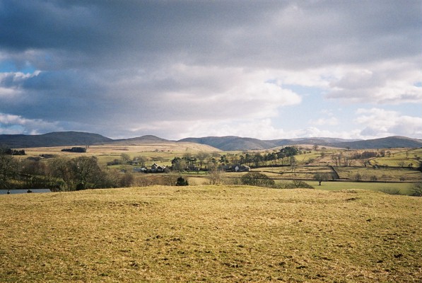
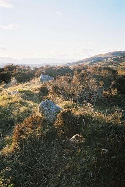
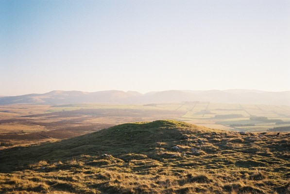
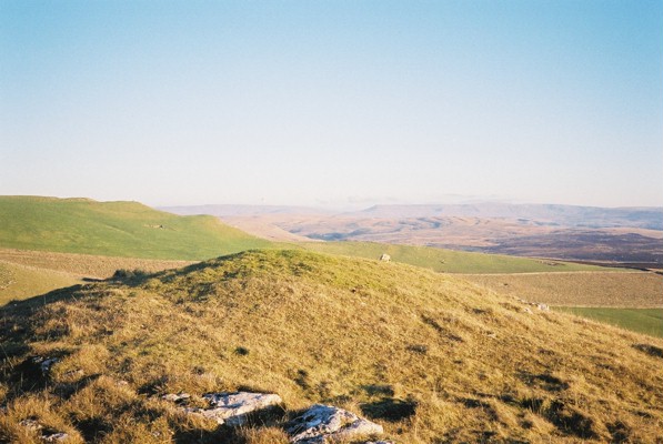
Despite the disputed antiquity of this site, I reckon it has the right 'feel' whatever that means, and the setting is perfect - a stunning panorama taking in the howgills, Morecambe Bay and the Langdales.
This is definitely one to check out before passing judgement.
|
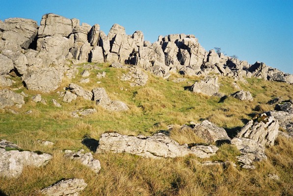
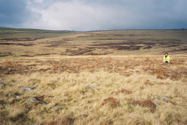
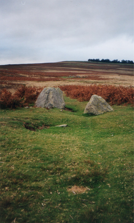
This site is a stone semi circle butting up against a fissured limestone scarp. It is one of several in the immediate area.
The scarp is approx 3 metres in height and the fissures are up to about a metre wide and extend back into the scarp several metres. Flint finds have come from around the entrances to these fissures.
It is easy to speculate about the usefulness of these semi-natural enclosures as shelter for both livestock and man.
The easiest way to find these enclosures is to park at the T junction NE of sunbiggin tarn , follow the rough track up to the limestone and then turn left and follow the bottom of the scarp. There are at least three of these enclosures before you get to the stone wall.
|
  
|
 
|
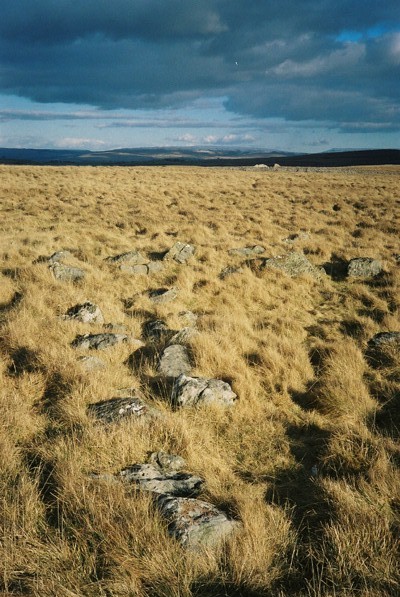
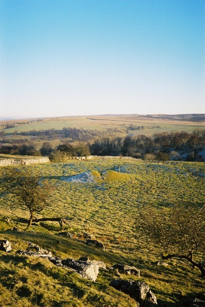
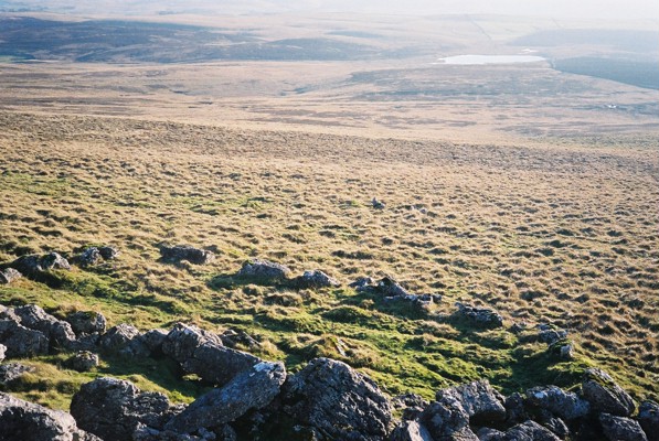
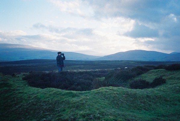
Like Sunbiggin Cairn, this is situated in a stunning position. Fabulous views to west, south and east.
The Howgills are particularly beautiful from up here.
A marvellous place to be buried.
I approached it the long way round, over the limestone pavement from the T junction near sunbiggin tarn. This is a fabulous walk and well worth it for the views and the wildlife (on this occasion hawks and a big fox who didnt seem too bothered by my presence) plus it gives the chance to check out the bields and other various enclosures in the lousy brow area.
The quick and easy route is from Sunbiggin Farm.
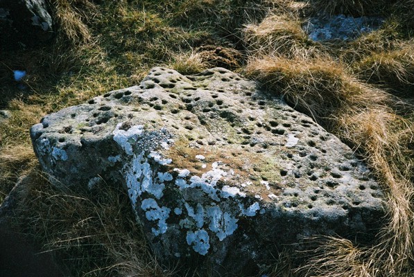
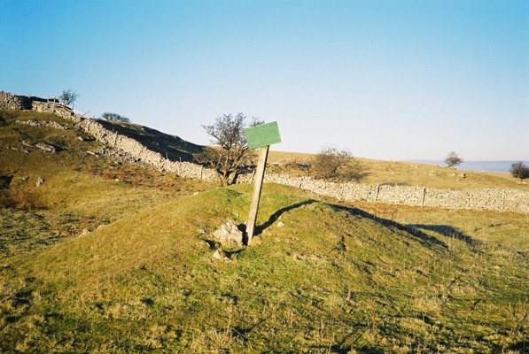
The cist here was excavated in the 19th century, revealing 3 burials, ox and goat bones, deer antler and a "stone artefact".
|
|