|
|

|
|
Shapbeck PlantationStone Circle
|
||||||||||||||||||||||||
|
|
|
Images (click to view fullsize) |
|
|
Fieldnotes |
|
|
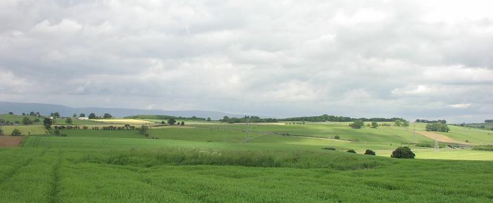
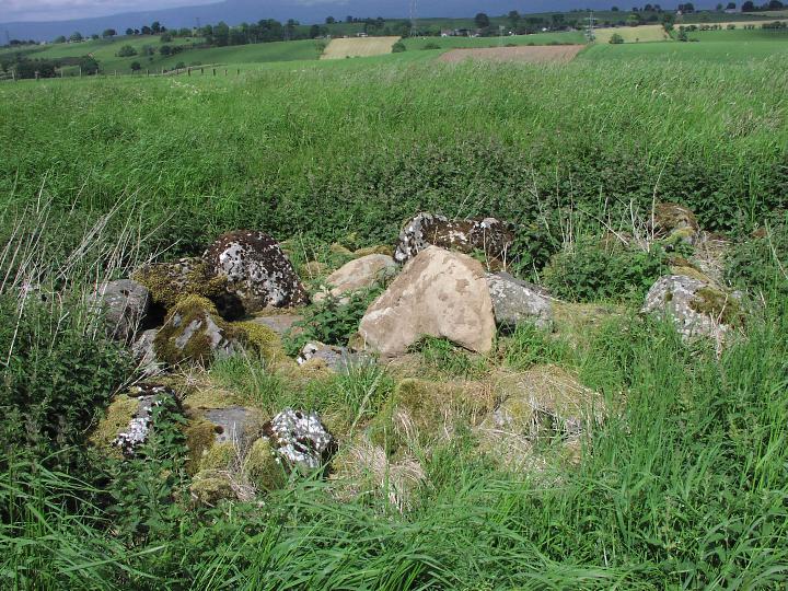
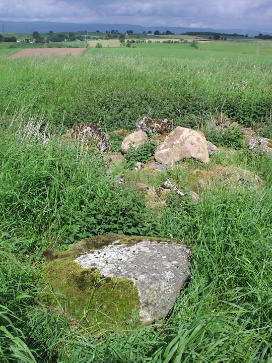
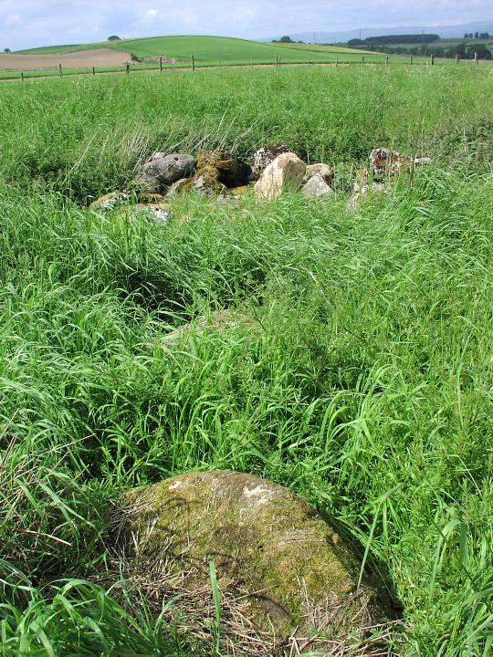
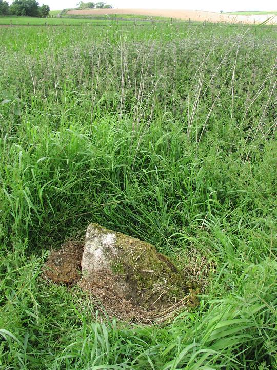
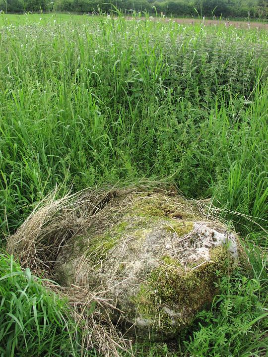
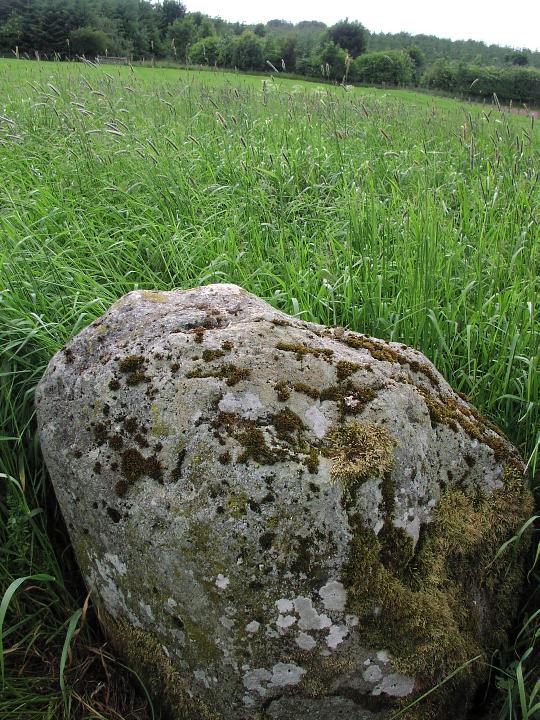
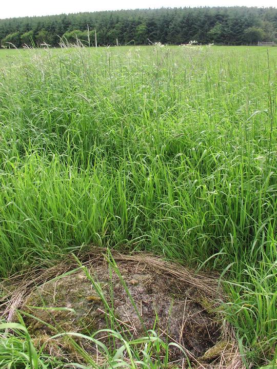
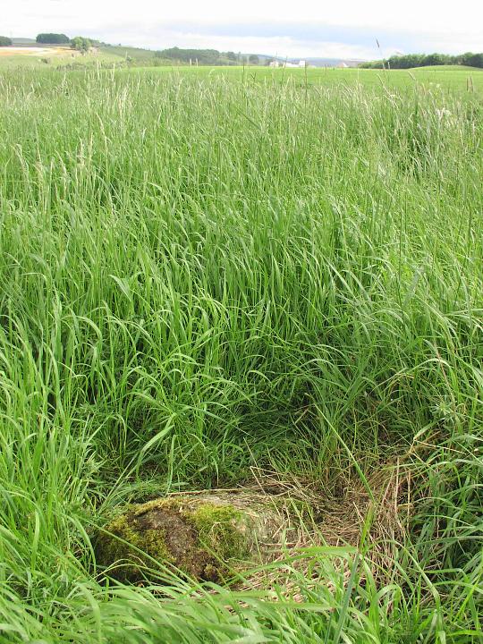
From looking at the other field notes I'd say go in winter if you can. We went there today for the first time. I was primed with expectations of a small ruinous and very vague circle, made more confusing by clearance stones. So I was surprised and impressed to find a very obvious double circle very much in the style of Oddendale and Gunnar Keld. Smaller though - estimate about 60 foot diameter. The clearance stones pile is between the outer and inner rings and when the undergrowth is this low it doesn't confuse things at all. Despite the proximity of the motorway, quarry and trial bike track there was a very definite sense of place there today. To me it felt very much an important part of the greater shap landscape. Another advantage of a winter visit is the ease of finding bits of flint and chert in the bare ploughed field ! |
15th January 2006ce |
|
Following Moth's instructions Stu and I gave this place a coat of lookin' at. It's a strange one, just when we figured we had the circle sussed, we'd find more stones that would throw the circumference out. I guess the whole place has been badly knocked about. This was obviously a significant area back in it's day. There are three other known circles well within a two mile radius of this one Knipe, Gunnerkeld and Wilson Scar plus the northern section of the Shap Avenues |
 Posted by fitzcoraldo
1st July 2004ce Edited 1st July 2004ce |
|
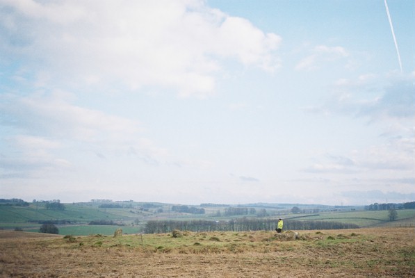
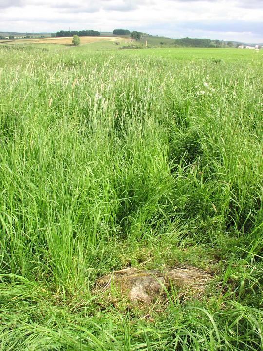
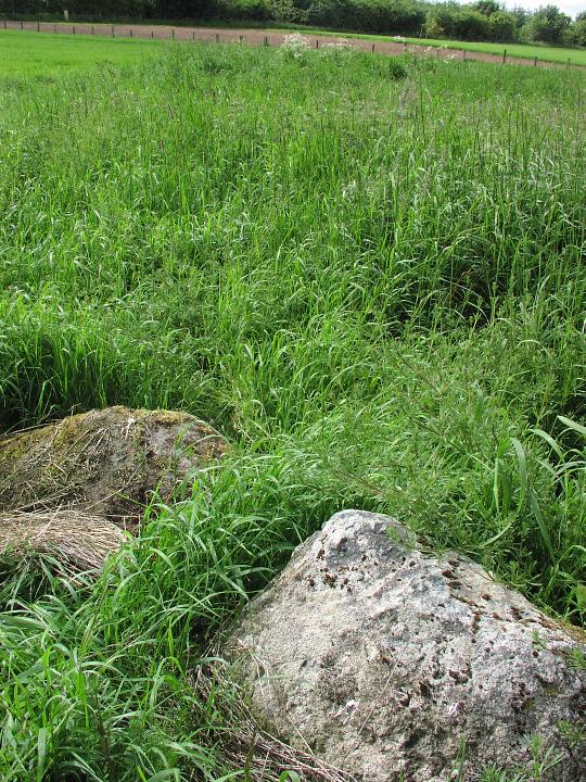
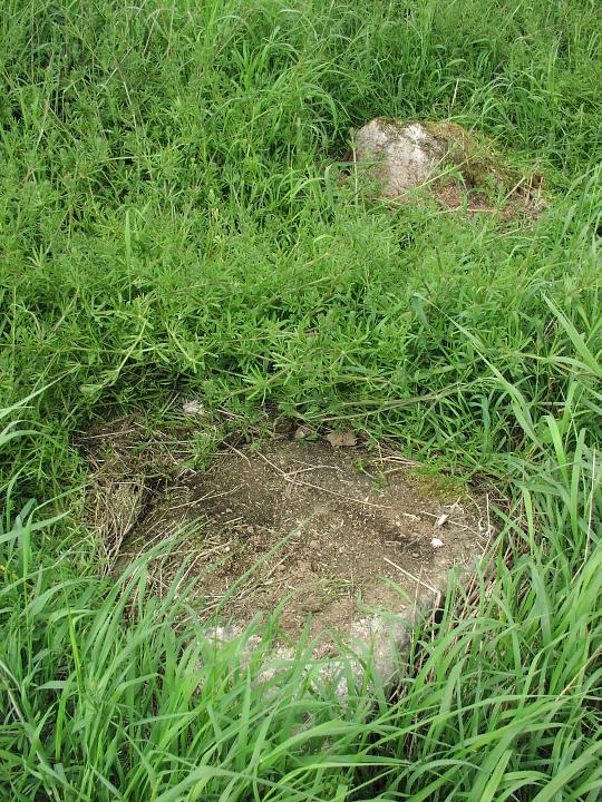
Saturday 12 June 2004 In the area anyway, thought I'd pop up & get a few more pics for Stubob & Fitz who've shown an interest in this place. You can still recognise the circle by the fact that there's an uncultivated patch in a cultivated field. At the moment this year the right field is recognisable by the fact that the field to the north is either fallow or has only just been seeded - it's bare dirt either way. The undergrowth the stones lie amongst is not quite as thick or vicious as last year, with fewer nettles, making it MARGINALLY easier to see what's 'going on'. There are roughly 12 stones left around the outside unevenly spaced and of varying sizes. The largest are probably about 6ft 'tall', though the majority of these are down. I get the impression that with the possible exception of the few that are still 'rooted', the stones are not necessarily anywhere near their original positions. But as they stil form a vague circle, I'm not sure that it's likely they've been moved far either. Towards the western side there is what looks like it could be the remains of a cairn-kerb with a whole load of (probably) clearance stones dumped in it. There are a couple of 'rooted' stones in this bit, but because of the undergrowth I found it difficult to estimate where the curve would take them if more remained. Couldn't say whether it looked like i) nowt, ii) a few remnants of a small 'simple' cairn, off-centre to the outer stones, or iii) an inner circle/cairn circle like Gunnerkeld. Actually, if the latter, it's more like Oddendale, as the outer circle doesn't include any MASSIVE stones as at Gunnerkeld. Though they may have gone of course.... Anyway, I wish someone else'd go and have a look!!!! Preferably when the undergrowth dies down in the winter - it might be easier to make out. |
17th June 2004ce |
|
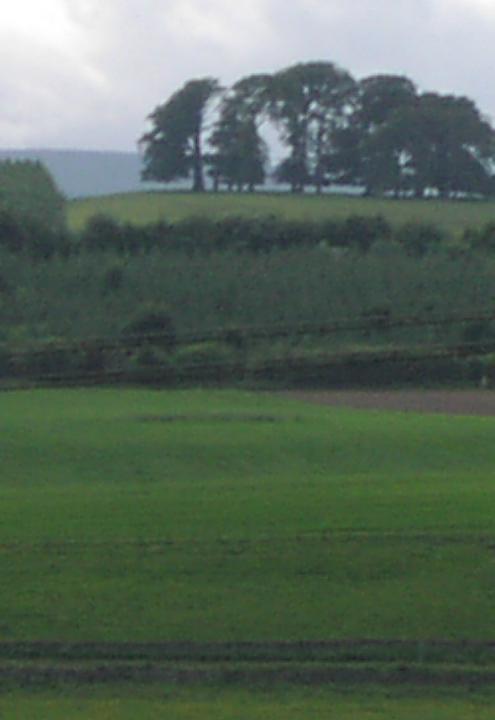
Sunday 29 June 2003 Heading north from Shap on the A6, we visited Shapbeck Plantation circle. As we reached the point on the left where a bridlepath is marked on the OS map at approx NY556188, we turned right, down the road opposite the bridlepath. We parked at a bit of gravel just over a bridge and walked back up the road to the A6. Crossing carefully (!) we followed the signs for the bridlepath. Using a printout of the Streetmap.co.uk page linked from the appropriate page on this site we could see that the circle should be right on the path. But the fields were in full crop, so we as carefully as possible skirted each field, picking up the path each time it crossed a field boundary. As we reached the top of the (fairly) gentle incline up to the trees of the ‘plantation’, I noticed a bit of uncultivated vegetation peeping over the pop of the actual crop. Once we reached the top and looked back down the hill we could see this patch clearly. It was circular…. Slowly making our way down tractor tracks we reached the uncultivated patch, and as expected, found the stones of the circle. Too difficult to make sense of them though. Winter visit necessary. This post appears as part of the weblog entry Such a nice Shap!
|
2nd July 2003ce Edited 15th July 2003ce |
Miscellaneous |
|
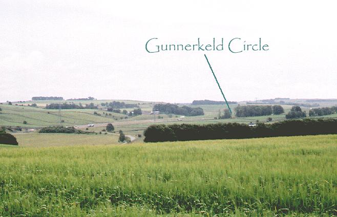
| As a guide to the location of the circle it shows up quite well as an area of uncultivated ground on the multimap 1:5000 aerial image |
Posted by fitzcoraldo 14th July 2005ce |
|
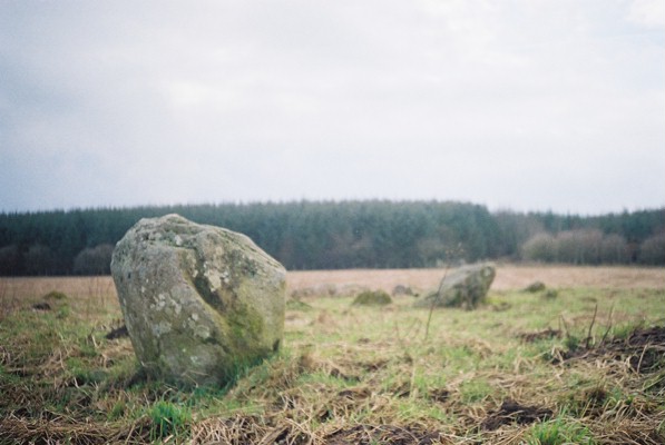
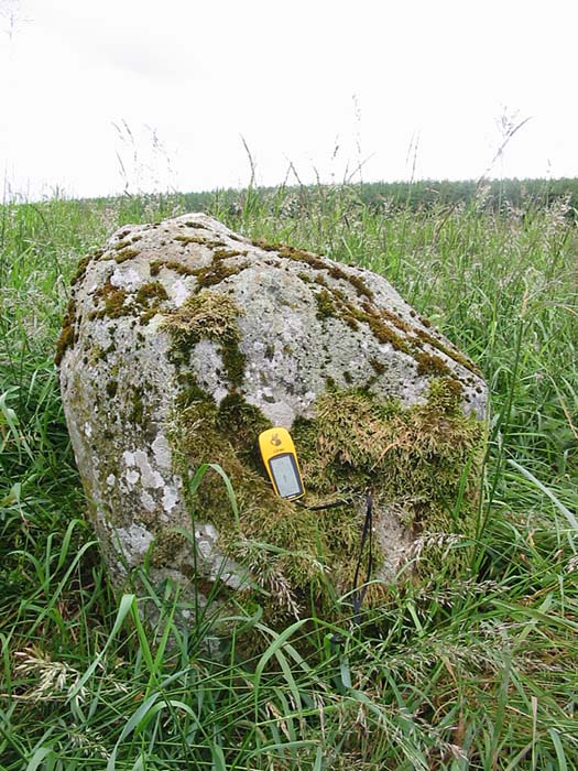
V.E. Turner reported this circle in the 1986 Transactions of the Cumberland & Westmorland Antiquarian & Archaeological Society (vol LXXXVI) as a previously unrecorded circle. A few notes from his notes He describes 3 concentric rings of stones with the tallest stones in the eastern partof the outer ring. Twenty eight stones survive inthe outermost ring, diameter 20.5m. Eighteen stones form the second ring & seven are visible in the innermost ring. Within the outermost ring is a cairn of stones. There is possible evidence of cobbling. |
Posted by fitzcoraldo 10th December 2004ce |