|
|

|
|
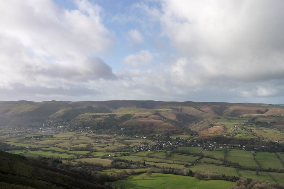
The Long Mynd
|
||||||||||||||||||||||||
|
|
|
Sites in this group:
|
1 post
Barrister's Plain cross dyke Dyke |
13 posts
Bodbury Ring Hillfort |
9 posts
Boiling Well barrows Round Barrow(s) |
|
6 posts
Devil's Mouth cross dyke Dyke |
9 posts
Grindle Round Barrow(s) |
1 post
High Park cross dyke Dyke |
|
5 posts
Minton Hill Round Barrow(s) |
6 posts
Pole Cottage Round Barrow(s) |
18 posts
Shooting Box barrows Round Barrow(s) |
Images (click to view fullsize) |
|
|
Latest posts for the Long Mynd |
Showing 1-10 of 68 posts. Most recent first | Next 10 
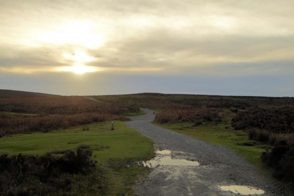
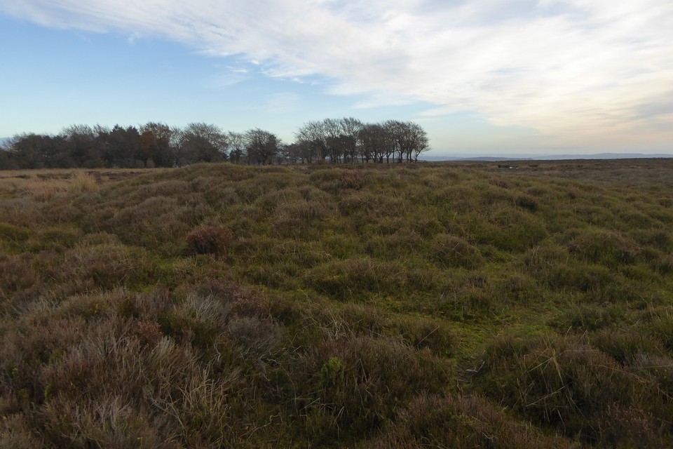
Bodbury Ring (Hillfort) — Images (click to view fullsize) |

|
 Posted by thesweetcheat
10th December 2023ce |
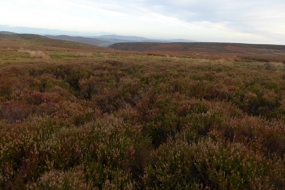
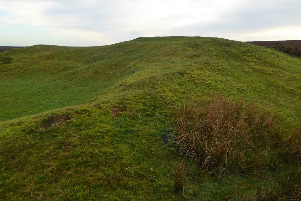
Shooting Box barrows (Round Barrow(s)) — Images |
|
Posted by thesweetcheat 10th December 2023ce |
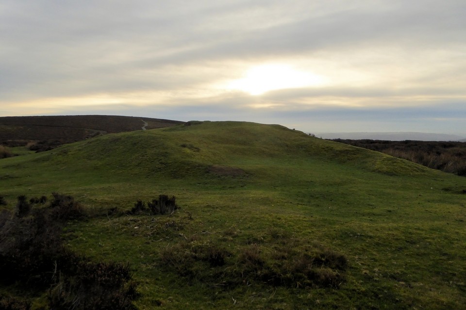
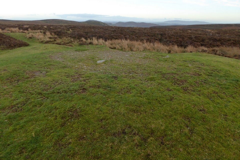
Pole Cottage (Round Barrow(s)) — Images |
|
Posted by thesweetcheat 10th December 2023ce |
Showing 1-10 of 68 posts. Most recent first | Next 10