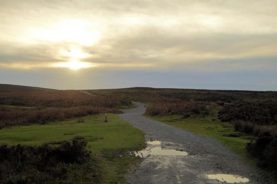
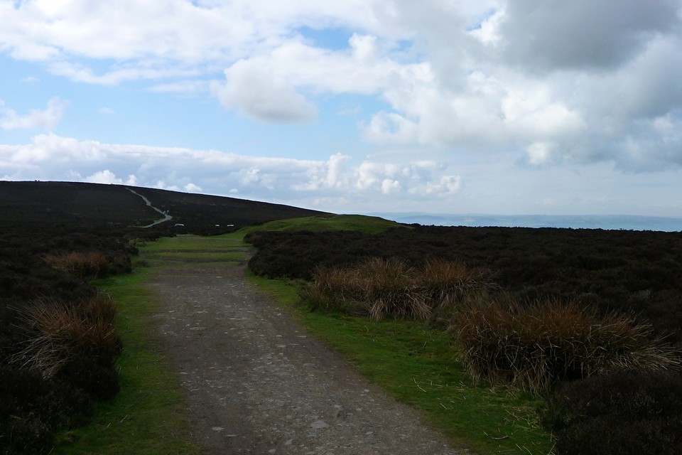
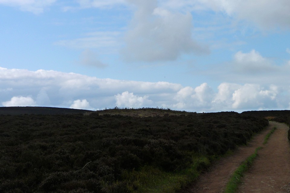
After leaving Robin Hood's Butts (16.4.2011), I followed the Shropshire Way southwest. The unbroken blue skies of the climb up from Church Stretton have by now given way to tattered cloud and a welcome breeze. Here, the county-spanning long distance footpath follows the route of a much older trackway called The Port Way, which may well have its origins in prehistory. It certainly passes through a landscape that was well known to our Bronze Age predecessors, judging by the number of barrows scattered across the Long Mynd.
Unfortunately, at least for my peace and quiet, it's also well known to the ramblers of the West Midlands. I pass a couple of large groups as I make my way towards the next barrow on today's list. Their over-loud (to these ears) conversations seem to be revolving around car mileage and the dislike of particular work colleagues. All of which somewhat breaks the spell of this beautiful location.
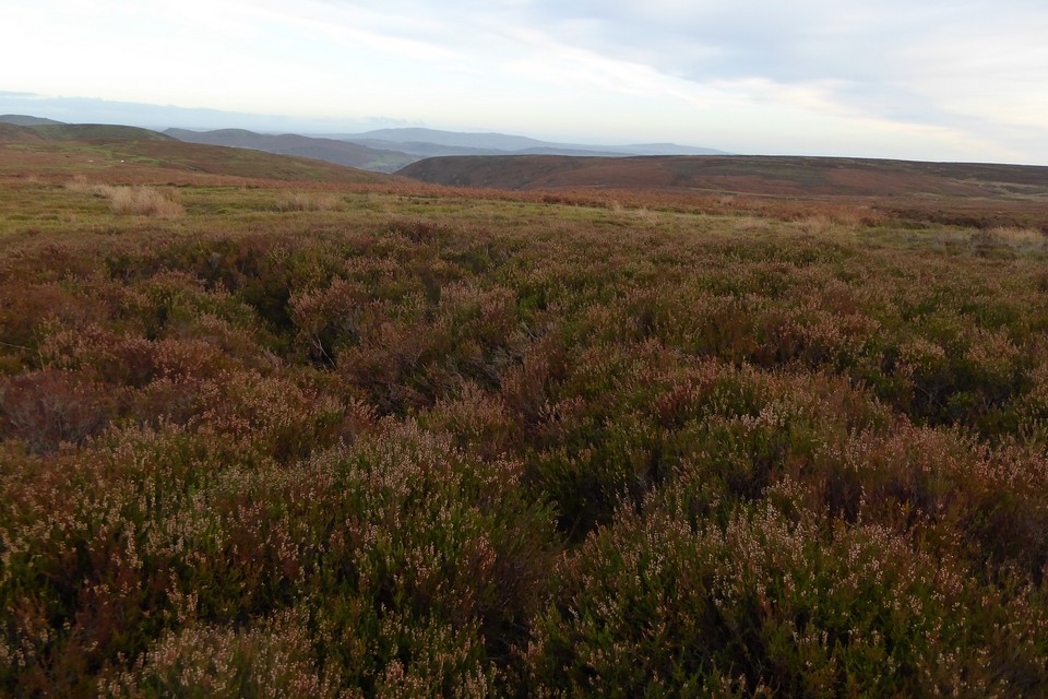
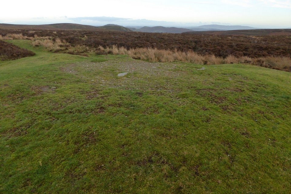
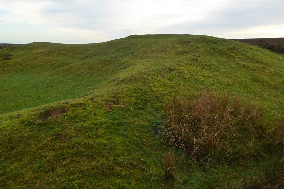
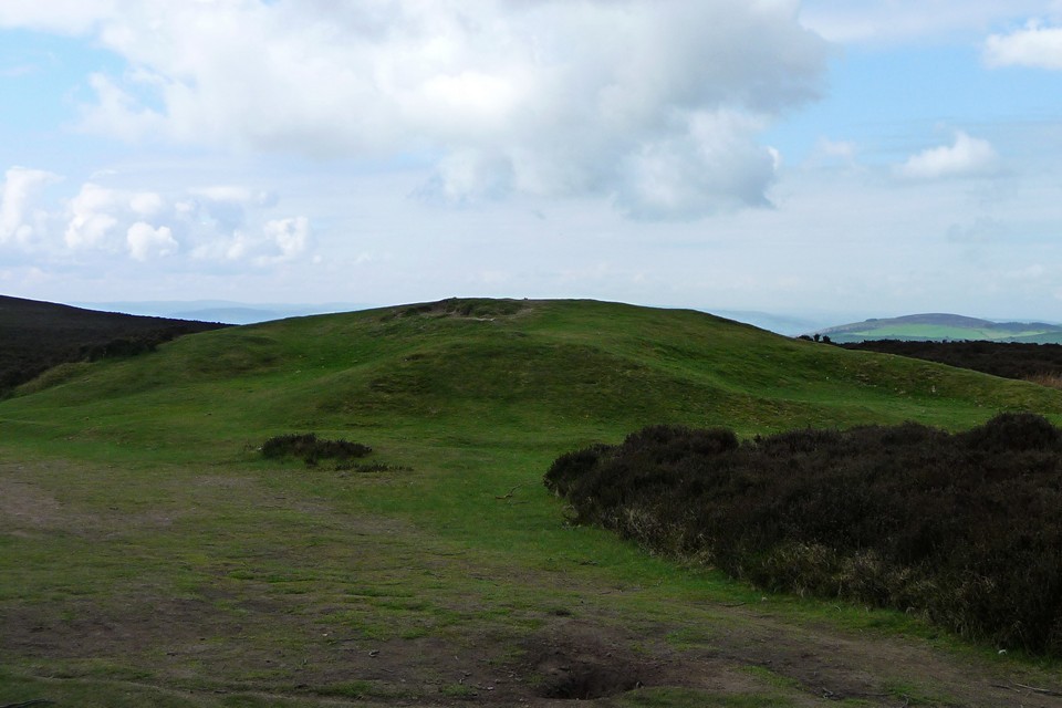
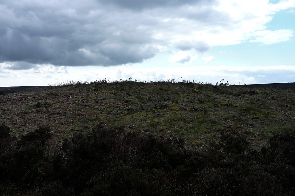
But I am soon upon the northeastern of the two barrows here, which dispells the momentary interruption rather neatly. You can't miss this barrow, it's right next to the path and has been cleared of vegetation making it a pale green against the surrounding heather. It has the usual excavation scoop on its top, which rather surprisingly reveals some fist size stones of the sort that make up hilltop cairns rather than earthen round barrows. Perhaps something of a hybrid then.
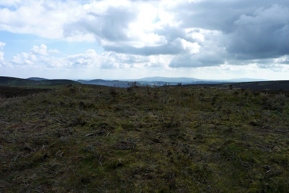
The best views are over to the east, where most of South Shropshire's hills are laid out, from the top of Caer Caradoc just peeking over the crest, to Shropshire's highest points of Brown Clee and Titterstone Clee.
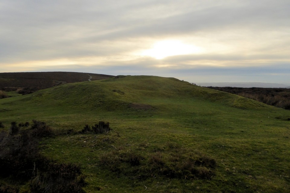
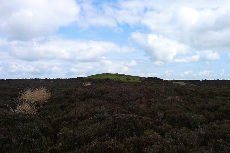
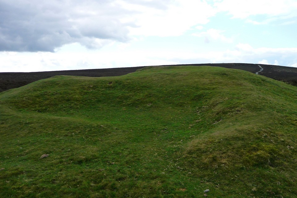
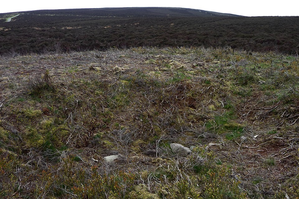
Following the Shropshire Way further southwest, an even larger barrow soon comes into view to the right of the path. This one is turfed, and has been subjected to pretty rough treatment in the past. The northern and eastern sides have been extensively damaged by digging and by the insertion of a shooting box (hence the barrow's name). Nevertheless, it's an impressive mound and I stop here for a while to take in the views to the north and west. From here, Corndon Hill and The Stiperstones are the dominant features, both with their own cairn cemeteries. Mid-Wales fades into light blue beyond.
[Post-visit note: Pastscape records this as a disc barrow, a rarity in this part of the country. The berm and ditch are lost in heather at present.]
As a detour prior to visiting the Boiling Well barrows, I carry on a bit further along the Shropshire Way, which climbs up to a trig point at Pole Bank. At 516m, this is the highest point on the Long Mynd. It's mobbed when I arrive, obviously the focal point for most of the walkers out on the hills today. Can't blame them though, because the views are great, across South Shropshire and even to the Malverns to the south east, into Wales to the west and north. Too busy for me though, so I head off the top to the northeast, for the last of today's barrows.
On the top of the Longmynd, midway and almost in a straight line between Church Stretton and Ratlinghope and near the sources of the streams of water which run down towards those villages, is a tract of ground known at Ratlinghope as "The Burying Ground." It was pointed out to me by a gentleman who is so well acquainted with the hill by long residence in the locality that he was able to find it though blind. Two low circular mounds of about fifteen or eighteen feet diameter are observable, but the soil is so soft that wind and weather have nearly levelled them with the ground. No trace of a fence can be seen. The old footway runs by at a distance of twenty or thirty yards on the Stretton side of the mounds. Are these British Graves? J.L.P.
In 'Salopian Shreds and Patches' for June 16, 1886.
Two round barrows next to the Port Way trackway on the Long Mynd. Pastscape descriptions:
NE barrow (SO42289554)
Bowl barrow on Wildmoor, 200m north-east of the Shooting Box. Scheduled (RSM). The surrounding ditch has become infilled but survives as a buried feature some 2m wide.
SW barrow - "The Shooting Box" (SO42109538)
Disc barrow; the mound, 20.0 m in diameter, 2.0 m in height, has been quarried into on the N side, and the centre has been dug away from the E side to shelter a shooting box. The annular bank is 50.0 m in diameter, 7.0 m in width and 0.2 to 0.5 m in height. A track cuts through the SE side. Site under heather.


 Posted by thesweetcheat
 Posted by Rhiannon