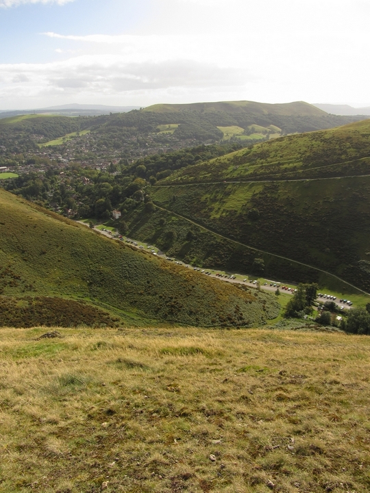
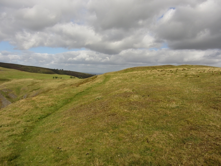
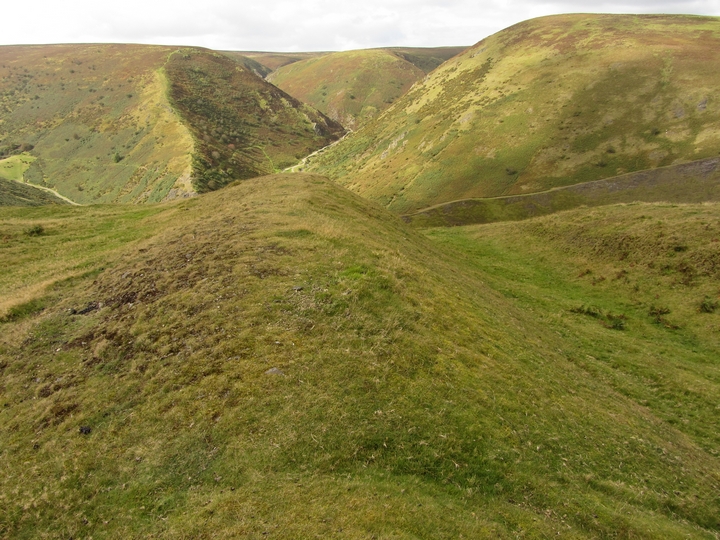
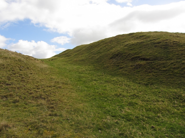
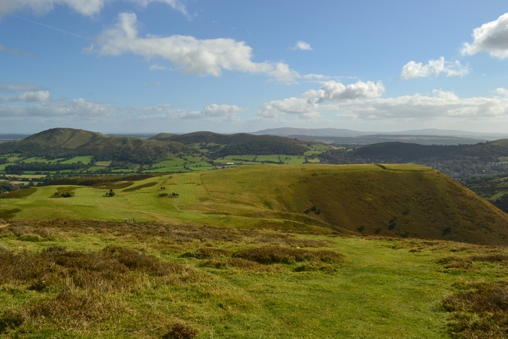
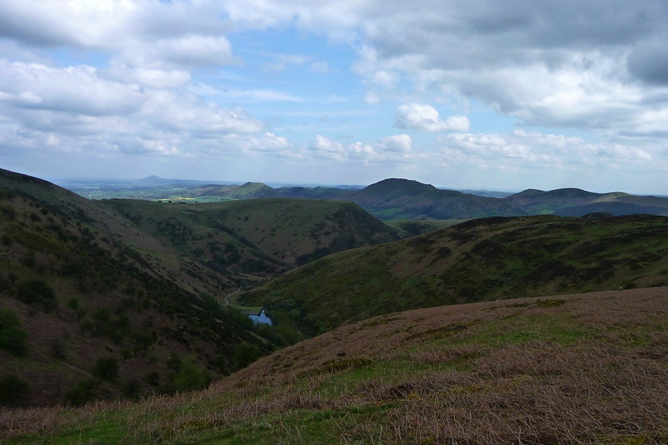
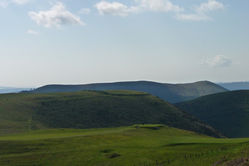
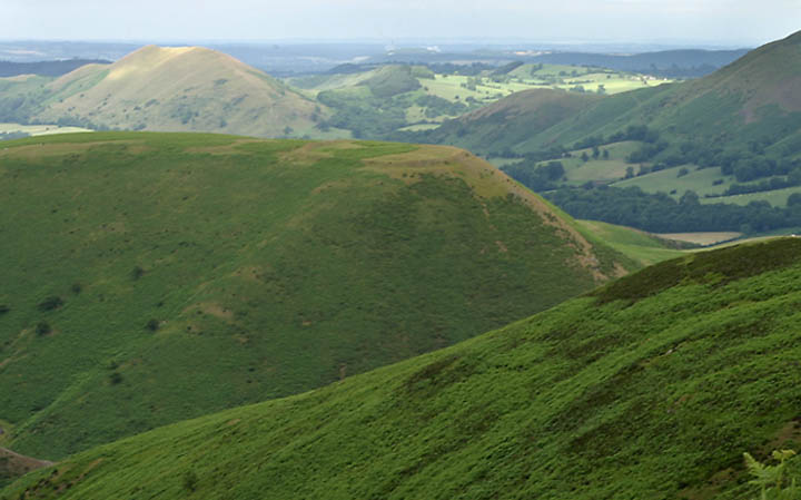
29/09/2012 - On the way back from Cornwall to Aberdeen we stopped off to have a walk on Long Mynd. Starting from Carding Mill Valley we made our way west to Pole Bank. A few good tumuli on here to look at but once I saw Bodbury Ring I had to make my way over to have a look. Great hillfort in a superb location. Big wall on north side, steep down to valley on south. Great view to the Wrekin and beyond.
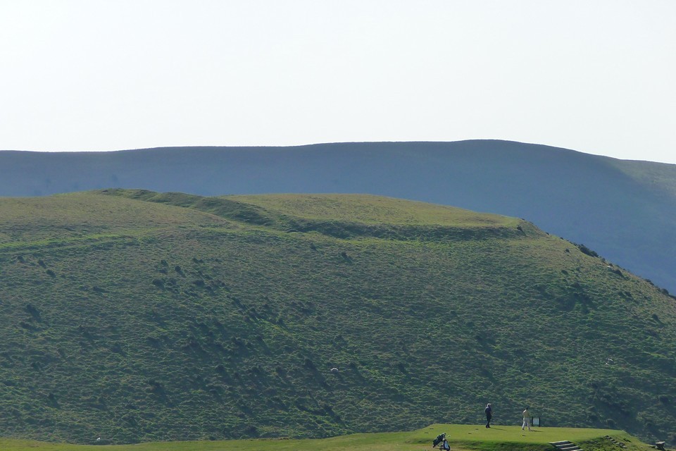
IA promontory earthwork on Bodbury Hill. It measures, overall, 100.0m NE-SW by 95.0m transversely and is pear-shaped in plan. The NE-facing rampart is 6.0 to 10.0m wide and up to 1.7m high internally. It rises 3.5m above an outer ditch which is 8.0m wide and up to 1.3m deep. At the eastern end are remains of a simple entrance. The fort is elsewhere bounded by a steep scarping of the natural slopes, which is 7.0m in width and 3.0 to 3.5m in height. Beyond the narrow berm the slopes fall away precipitously.


 Posted by thelonious
 Posted by thesweetcheat