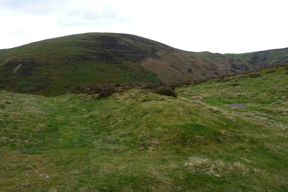
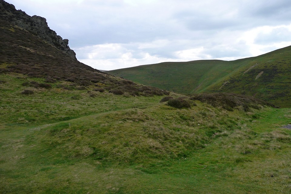
Following the road down from Boiling Well barrows (16.4.2011), the jagged ridge of Burway Hill comes into view, falling precipitously down to Townbrook Valley. The narrow saddle of the land at the foot of the ridge is called The Devil's Mouth, but there is no gaping maw into Hell to be seen.
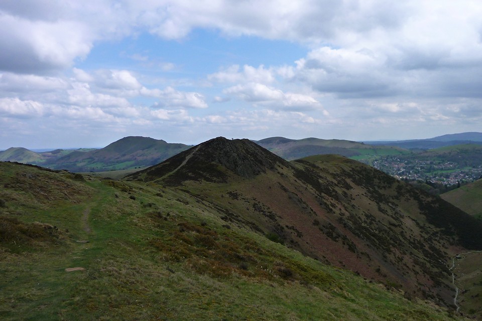
Instead there is a low earthwork bank, now cut through by the road, but otherwise running across the neck of the ridge. It's worth a quick climb up the steep slope of Burway Hill to gain an eagle-eye view as well. Once at the top, you are rewarded with lovely views of Caer Caradoc and the line of hills running north to The Wrekin. From here it's a stroll back down to Church Stretton.
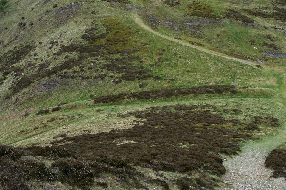
Late Bronze Age cross-dyke, next to the natural feature known as the Devil's Mouth. Pastscape description:
A small typical LBA cross-ridge dyke situated upon a saddle of a ridge, the ends resting upon precipitous slopes, extends for 130.0m from SO 43999432 to SO 43959419. It comprises a stone and earth, heather-covered bank up to 6.0m in width and 1.5m in height with side ditches; that to the W being the larger, 4.0 to 6.0m. in width, and up to 0.7m in depth; that to the E., 2.0 to 3.0m. in width and up to 0.3m in depth.
The feature has been destroyed for 35.0m for a roadway, footpath and car-parking space, and to the N, only the bank remains extant for a further 250.m.

 Posted by thesweetcheat