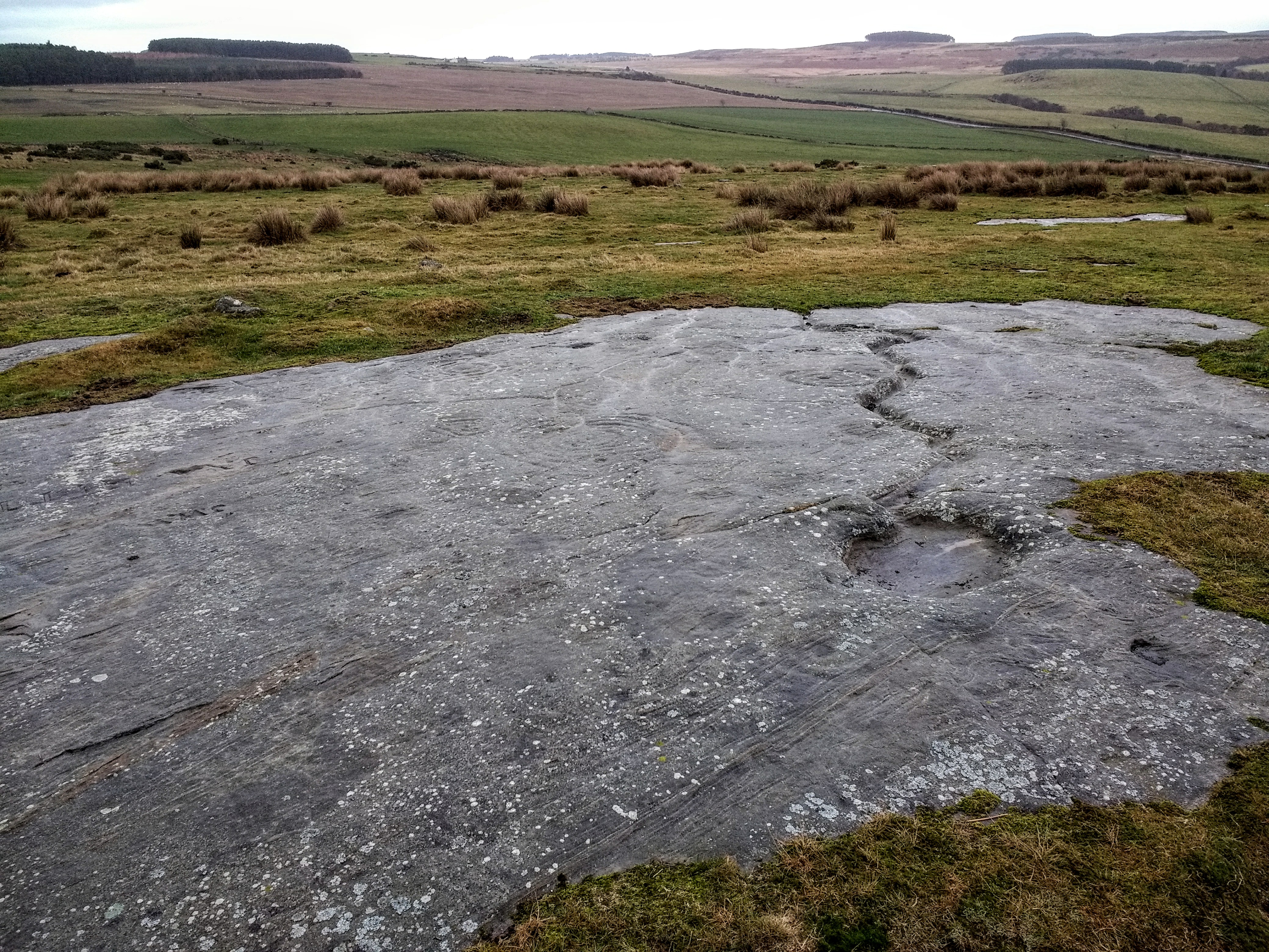
Looking NW towards Herd Howe bowl barrow, L distant

Freebrough Hill seen from the top of Herd Howe bowl barrow


The top of the barrow. It is officially classified as a bowl barrow but as this category doesn’t exist on TMA I’ve had to enter it as a round barrow. It dates from the Bronze Age.


The N side. Rampart collapsing over cliff to R of image.
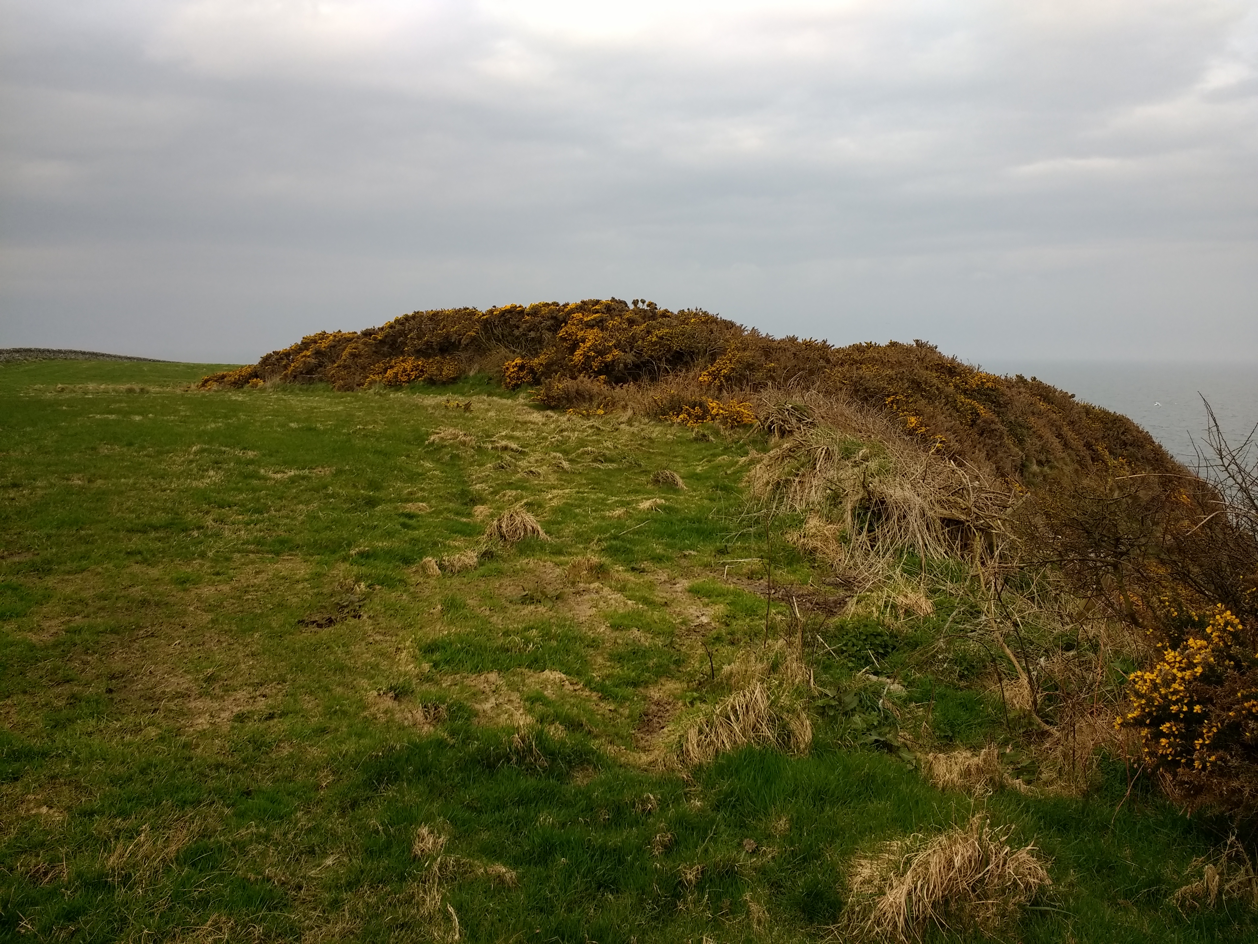
The landward rampart. Gorse and bramble cover was too thick to explore within.

The fort – or what’s left of it – is the gorsey area in the centre of the image. Seen on the approach from Isle of Whithorn.


The ramparts on the W side. Visit when the bracken’s down ..this is an underappreciated site in a fine position.

Ramparts on W side looking towards the trees above Kettley Crag


The hut circles, St Justinian’s and Ramsey