


Top of barrow looking west. Would be a skyline feature


East side. Like so many barrows on the Moors this one’ll look at its photogenic peak when the heather’s ablaze in August


The north side. The concrete track leads to what was a precursor to Fylingdales early warning system.

Why have this place on TMA? The seabirds, that’s why. The Scots still go after young gannets – guga – today in one location. They can be dried and stored. Plus there’s the puffins and pufflings in their cliff edge burrows. A foodsource for millennia doubtless, worth risking necks for at times...


I LOVE this stone...thanks for the add, Fitzcorraldo. Totally worth hunting this one down.


N side seen from the Lealholm Rigg track looking towards Eskdale


Warsett Hill seen from ten miles south at Danby Beacon...as much a significant skyline feature and focal point as the latter. That it has a barrow cemetery is entirely understandable.

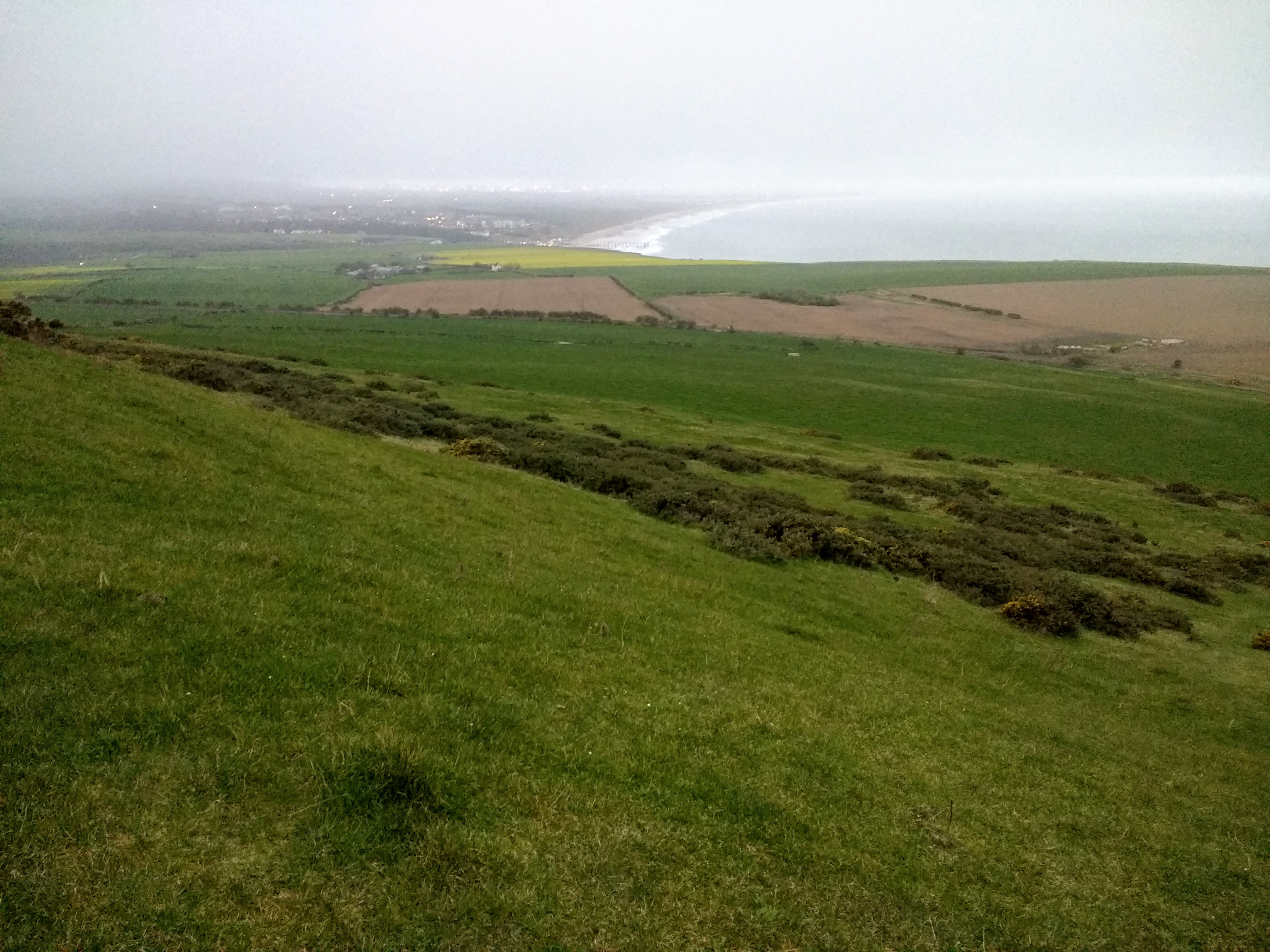
View N downslope towards Saltburn...possible interment sites visible

Looking NW along the edge of the hilltop


Looking down the slope on the southern side ...perhaps degraded barrows near the coast?


The official online archaeological resource for the Stockton and Hartlepool area. Contains a link to the areas HER, database of all the area’s known archaeological sites, constantly being updated.