
Horton Camp, centre, from the south.
Image credit: A. Brookes (30.11.2013)
Horton Camp, centre, from the south.

The southeastern corner of the rampart.

The southern rampart. The tower is a recent addition, built to provide roosting for owls and swallows.
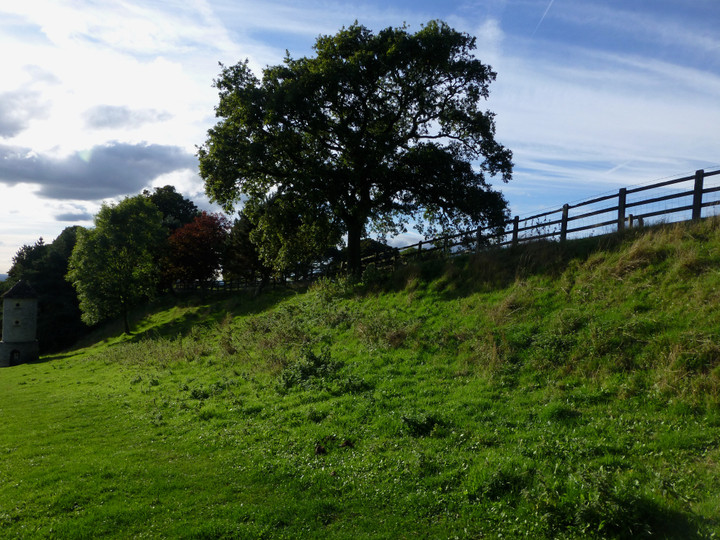
The southern rampart.
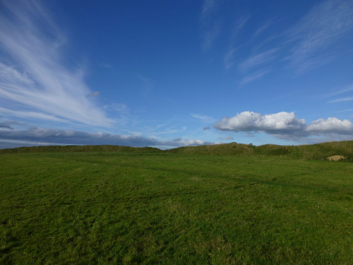
Looking across the interior.

Inside the rampart.

Looking west from the fort across to the Severn/Hafren, with Wales beyond. Pen-y-Fan in the Brecon Beacons can be seen from here.

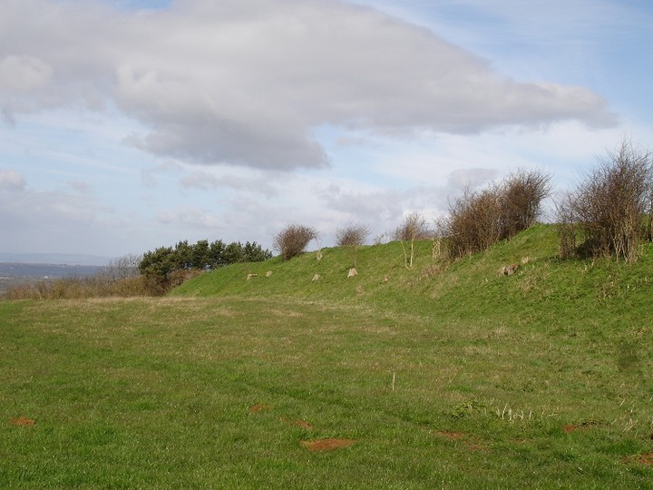
The curve of the rampart from its northwestern end.

The northwestern end of the single rampart. Any ditch is long filled.

The western flank is protected by defences Nature had prepared earlier.... Part of the artifical bank can be seen centre skyline.

South-western corner...

Looking north........

Defences to north-east...


Looking approx south.....

Can’t say fairer than that...... top site.

The south-western flank...

Clearly the bank was once more heavily wooded.

The northern defences, looking approx north-west to promontory’s edge.

The southern section....... the bank continues within the trees.

The impressive promontory earthworks crown the horizon viewed from the minor road to east.

Cotswold Escarpment, several hillforts along its edge, Hinton and Old Sodbury.

2006 photo; Substantial banks similar to Sodbury.
2006 photo;


Bank to the north west.
Visited 4.6.11
Driving north up the A46 (passing Old Sodbury Hillfort on the left) I took the left turning signposted Horton. I parked outside the school and followed the public footpath up the hill. The official footpath swings to the right around the base of the Hillfort but I of course headed straight up the steep hill.
When I got to the top (stiff climb) I was confronted by a wooden field fence (no problem) but either side of it was a sea of waist high nettles (problem as I was wearing shorts!). I could see the Hillfort’s ramparts across the field but there was no way I was going to walk through that lot! Instead I followed the fence around to the left and quickly came upon a gate where the nettles were not so bad. The gate had a public footpath sign next to it although this didn’t show on my O/S map. Through the gate and onto the Hillfort.
The ramparts consisted of a sort of arc defending the two sides of the Hillfort which were approached from level ground. The steep slope of the hill presumably was enough to defend the other two sides? The ramparts are well preserved; still standing to approximately 2.5 metres high and 5 metres wide. It looked as though the entrance to the Hillfort was where the bend in the ramparts is – this area was flattened.
The views across the Severn Valley are tremendous and worth the climb for that alone. The Severn Bridge could be seen gleaming in the distance.
This is a site I would recommend but one for those fairly fit and able.
This is approximately a five acre enclosure, fairly triangular with a steep drop on the other two sides, Bank is still impressive, it maybe that this site belongs to the same time as Old Sodbury Camp, (250bc-50bc according to James Dyer) There is a longbarrow above the church at Hawkesbury, which is about a mile down the road.
Longbarrow ref; ST768 871. It sits high on the hilltop, somewhat reminiscent of Adams Grave.
There is also another longbarrow marked at ST777828, Grickstone Farm but this has only one stone remaining, see Rhiannon’s information.


