Midsummer chalkland vegetation, in contrast to my previous midwinter visits.
Image credit: A. Brookes (10.6.2023)
Midsummer chalkland vegetation, in contrast to my previous midwinter visits.

Looking southwest, with Rybury beyond on the right.

Ditch on the left, looking northwest towards Cherhill.

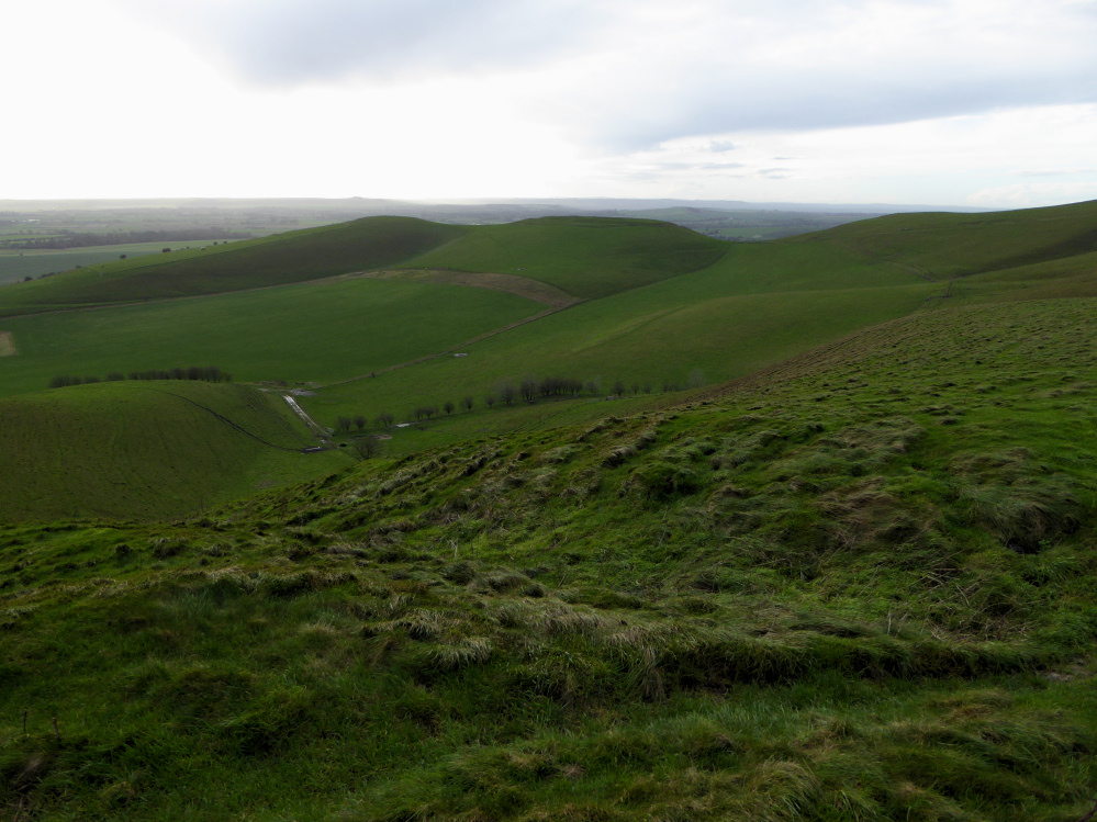
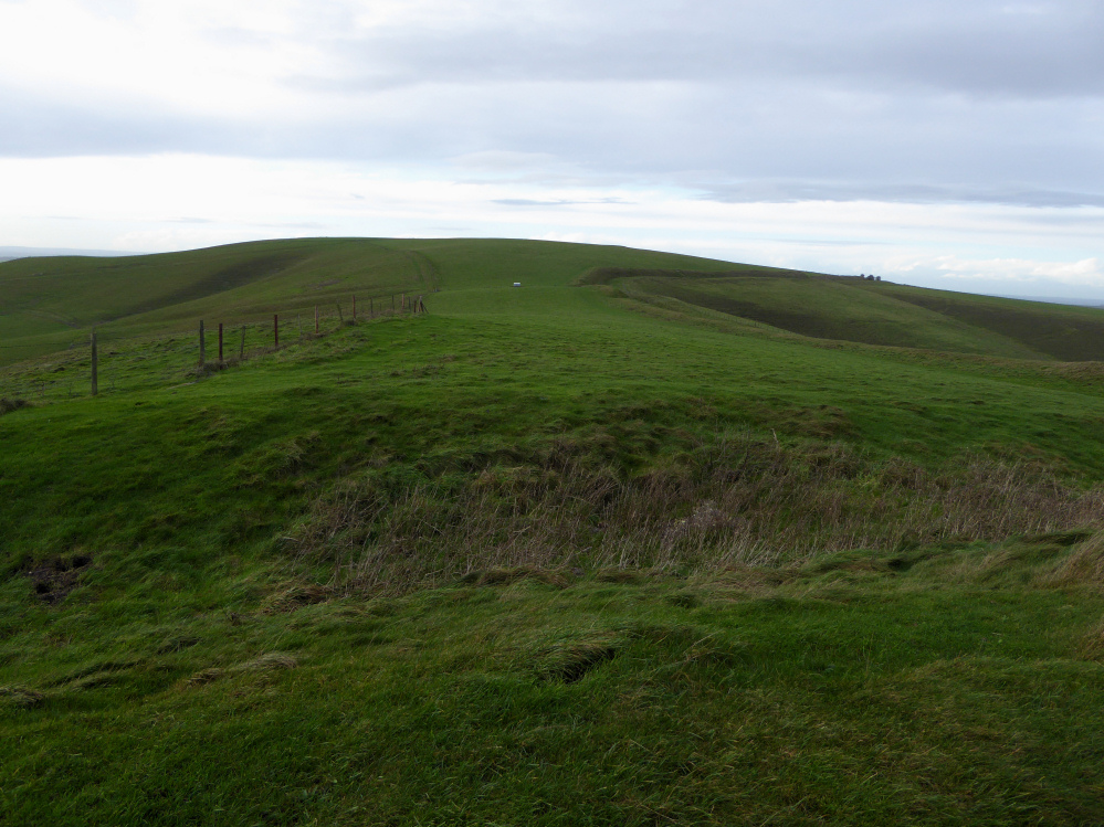
The northern end of the dyke, north of Wansdyke. The view is towards Allington Down. There is a rectangular medieval stock enclosure in the valley, directly above that on the slopes of Allington Down you can just make out the bushes on the Allington Down round barrow. Immediately to the right of that but not really visible in these conditions is Silbury.

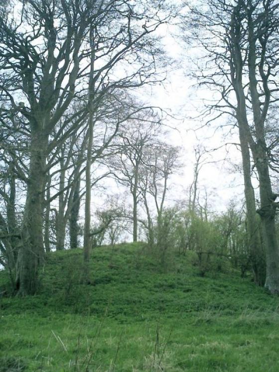
Sadly ploughed-down round barrow downhill and to the east of the cross dyke.
To the south the hillside drops sharply to the Vale of Pewsey. The flat-topped hill is Rybury hillfort.

Looking north towards Silbury and the Ridgeway beyond.

The hill on the skyline is Cherhill, location of Oldbury hillfort.
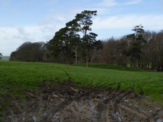
Looking west from the dyke towards the summit of Tan Hill. The later Wansdyke which overlays the dyke, can be seen climbing the hill on the right.

The Iron Age cross-dyke from the northwest. The ditch is on the west side of the earthwork, facing Tan Hill’s summit.