
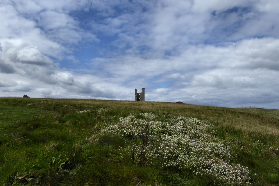
The medieval wall on top of the presumed line of the Iron Age rampart.
Image credit: A. Brookes (5.5.2019)
The medieval wall on top of the presumed line of the Iron Age rampart.

Looking SW towards Scrog Hill.

Looking down on the flat landscape to the northwest.

The steep cliffs above Rumble Churn.
The open interior. There’s a sizeable space enclosed by the defences.

Defensive bank below the castle walls.

The prominent site, seen across Embleton Bay from the northwest.

Shoreline natural chaos

Shoreline alluvial layers


Visited 28.7.17
To be honest the real reason I visited the site was in order to knock another English Heritage site off the list. From the castle sweeping views along the coast are to be had and it comes as no great surprise that this was once the site of a promontory fort.
It is a fair old walk to the castle from the car park in Craster (about 1.5 miles) but well worth it, particularly on a bright and breezy day.
As we passed the lifeguard station on the way back to the car the alarm went off and the RNLI sprang into action. A tiny tractor pulled the RIB out along the beach and into the water. Within minutes the rescue craft was roaring out of the harbour and out into sea. Apparently a swimmer had gone missing further up the coast. Hopefully it was a happy ending?


