Looking south.
Image credit: A. Brookes (23.10.2010)
Looking south.

Looking SW. Gilwern Hill, with its own cairns, is the dominant feature on the skyline beyond.

Looking eastwards. The Radnor Forest mountains (Great Rhos, Black Mixen and Bache Hill) are hidden away in mist on the skyline.

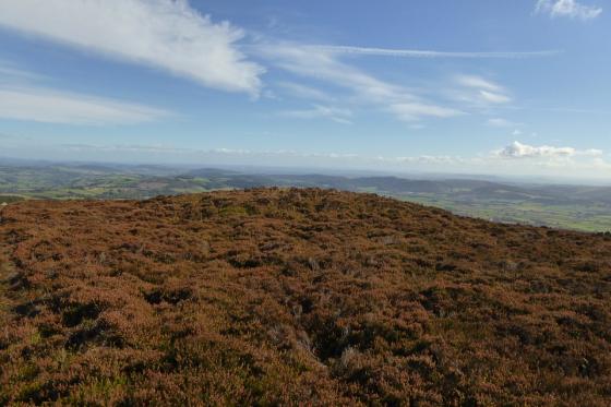
Looking NE over the cairn.
First though, there’s the small matter of a ring cairn discovered on a late-night trawl of Coflein’s blue dots but not shown on the OS map. As I climb the hillside up towards the cairn, a red kite comes to check me out, swooping low above my head to display the characteristic forked tail of the species.
Nearing the hill top, a low mound appears on the right of the path, with a number of stones protruding from the top. Here it is! It’s a decent ring cairn, fairly well-preserved, nothing spectacular but nicely sited on a high-point, with good views of the surrounding hills. If you covered it in heather instead of grass, you could sneak it onto Stanton Moor as an embanked stone circle and you’d get away with it. Definitely worth the walk and shame on OS for missing it off the map (hooray for Coflein obviously). My newfound red kite friend comes back to see what’s occurring. Not much, actually.