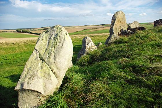
A concentric circle of standing stones, similar to the Sanctuary, located next to and under the M4 at Fir Clump.
The site was surveyed by Mr. R H Reiss, who recorded its measurements as 107m x 86.5m. The outer ring was fragmentary but enough remained of the inner ring to see that it was flattened to the north and measured 86.5 x 73.7m.
About 125m to the west of the circle was a single row of stones aligned NNW-SSE. This was recorded as being 102m long.
Although the site was destroyed during the construction of the East bound M4 Motorway in 1973, some of the stones are said to survive within the vegetation beside the M4 and the current golf course..
The site was classified as Neolithic, given the title Fir Clump, Burderop Wood and listed on the Wiltshire sites and monuments record as SU18SE117


