
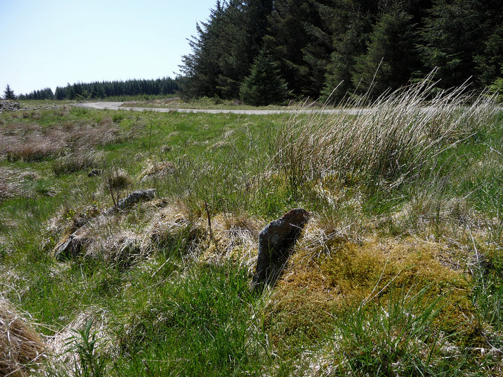
The summit cairn is built at the eastern end of an oval ridge, the western end of which is an outcrop of exposed slabs.
Image credit: A. Brookes (8.6.2013)
The summit cairn is built at the eastern end of an oval ridge, the western end of which is an outcrop of exposed slabs.

The summit cairn.

Mynydd Blaengwynfi summit cairn, looking ENE-ish.

Mynydd Blaengwynfi summit cairn, in its clearing amidst modern forestry.

Bachgen Carreg from the SW, where the mound appears most prominent.

Detail of the apparent kerbing.
Bachgen Carreg cairn, showing apparent kerbing.

Bachgen Carreg, from the south.
Two cairns in forestry, one very damaged, the other on the highest point of the hill (528m OD).
Coflein descriptions:
Bachgen Carreg (SS90819810)
A ruined circular cairn, 8.0m in diameter and 0.5m high, set on a parish boundary and bearing the name of a stone rather than that of a cairn.
Mynydd Blaengwynfi summit (SS90659737)
A circular, stony mound, 7.6m in diameter and 0.6m high, capped by an OS triangulation pillar.


