
Image Credit: Natural Resources Wales
Image credit: LiDAR Composite Dataset. Contains public sector information licensed under the Open Government Licence v2.0.
Image Credit: Natural Resources Wales


What I took to be the former entrance to north?


Outer western bank.

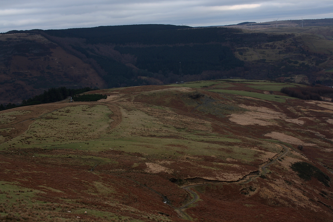
Toward the Rhondda-Fawr........

Inner enclosure

Northern defences

The outer western bank looking approx south toward Mynydd Ton... there’s more stuff up there, although I haven’t been at time of posting.

The western flank (not protected by a slope of any magnitude) is defended by a reasonably powerful outer bank, here looking approx north.
Looking from Mynydd Maendy to the approx south-west.... the hill fort occupies the ridgetop between forestry and antennae.

Maindy Camp is the flattened area in the centre, just above the cloud-shadow. Viewpoint is Tarren Felen Uchaf, near the Cwm Ian cairn.

Bronze “strap-union” decorated in the La Tene style, found at Maendy Camp and now on display in the National Museum of Wales.

The Camp is in the centre of image, seen from Mynydd Bwllfa to the SW.

Looking along the inner enclosure bank.

The western side of the outer bank, looking north.

The northern part of the outer bank, looking east.

The inner enclosure bank, looking SE towards Mynydd y Gelli.

Approaching from the east along the bridleway from Pentre.
Visited 22.8.12
This took a bit of effort to reach.
Directions:
Head north along the A4061 towards Treorchy.
Just before the B4223 junction there is a place to park on the right in front of a locked forestry commission? access road. There is room to park without blocking the gate.
Head along the access road which zigzags up the hill until you are amongst the trees.
(When you come to the fork in the road go left)
When you come to a stone lined drainage ditch (about 1 metre wide) you have to jump across it and scramble up a steep bank. At the top of the bank is a barbed wire fence you need to negotiate. You then come out onto the Hillfort which is clear of trees.
No doubt there is an easier way to get to the Hillfort but I always seem to find the hard way!
It is a steep old climb and takes about 30 minutes. Given the obstacles it is one for the fairly fit and mobile only I would say. I was pretty knackered when I got to the top!
There is not too much to add about the Hillfort. It is fairly flat and mostly covered in ferns. There are also lots of groups of stones and rough grass covering the site.
An oval bank about 1 metre high is the most discernable part of the Hillfort.
One for the enthusiast only.
Maendy Camp comes into view pretty soon once the path levels out. It makes use of a natural knoll, with the ground dropping away on north and south sides. The Clydach Forest dominates the hills across the valley to the south. Rounding the south-eastern corner of the fort, the rubble construction of the bank is exposed. The interior on the east side is buried under a liberal growth of bracken, making is pointless to try and investigate from this direction. However, the bracken thins out on the west side and it’s easier to gain access here. A low, grass-covered bank cuts across the middle of the site. This is the “inner” rampart, which forms the boundary of a smaller enclosure occupying the northeast part of the camp. The outer rampart is more obviously of rubble construction, particularly apparent along the northern section.
Neat bivallate enclosure, Coflein description:
Set on the ridge of Mynydd Maendy, is a sub-oval enclosure, c.110m N-S by 98m, defined by a rubble bank with an external ditch. The E part of the enclosure is sub-divided about a slighter oval work, c.51m N-S by 36m, also defined by rubble banks.


