The enclosed fort interior from its western end.
Image credit: A. Brookes (21.11.2015)
The enclosed fort interior from its western end.

The larger platform cairn from the smaller.

Stonework in the arc of the larger cairn.

The larger of the two platform cairns inside the fort.

Looking along the bank to its northeastern end. It’s awkward to get a shot of a wider section as there’s very little clearance between the edge of the trees and the bank.

The single bank at its eastern end.

Gwersyll fort is on the conifer-planted hilltop, left of centre. The Twyn Blaen-nant ring cairn is in the middle ground, beyond the row of spaced trees.
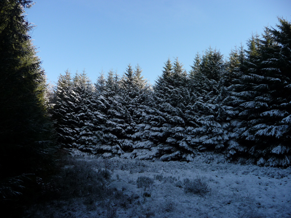
Lovely little Iron Age site in a forestry clearing surrounding by dense conifers giving a sense of seclusion.
The interior also includes two Bronze Age cairns.
From GGAT:
Gwersyll is a rampart, roughly semi-circular in plan, standing on a broad ridge in enclosed, but uncultivated pasture within a forestry plantation.
It appears to be an unfinished ringwork; no trace of a marking out ditch appears on the ground but on an air photo a very slight mark completes the circuit. The diameter is about 52m and the enclosed area, if completed, would have been c0.2ha. The defences measure 11m wide by nearly 2m high overall and comprise a bank, ditch and counterscarp bank. The intended entrance was probably at the east end of the rampart where a slight bank curves round the end of the ditch. There is a causeway across the ditch on the south-east, but no corresponding gap in the bank.
Two platform cairns stand within the enclosure. They stand about 0.3m high; the centres have been dug out though no cists are visible. The larger cairn measures 11mx10m, with a displaced coverstone near the centre. It consists of an irregular oval ring of stones, c 1.2m wide. In the middle is a large stone slab, 1x1m. Outside the stones is a bank 1m wide abnd 0.2m high, which is clearly visible on all but the W side.


