Showing 1-50 of 127 posts. Most recent first | Next 50   
|
 
|
Prehistoric Books at 75% discount!!
There are some fantastic book offers currently available at this excellent online shop. As well as books there are products with a prehistoric theme: CD-ROMs, Jewellery, Reproductions etc
|
  
|

|

|

|

|
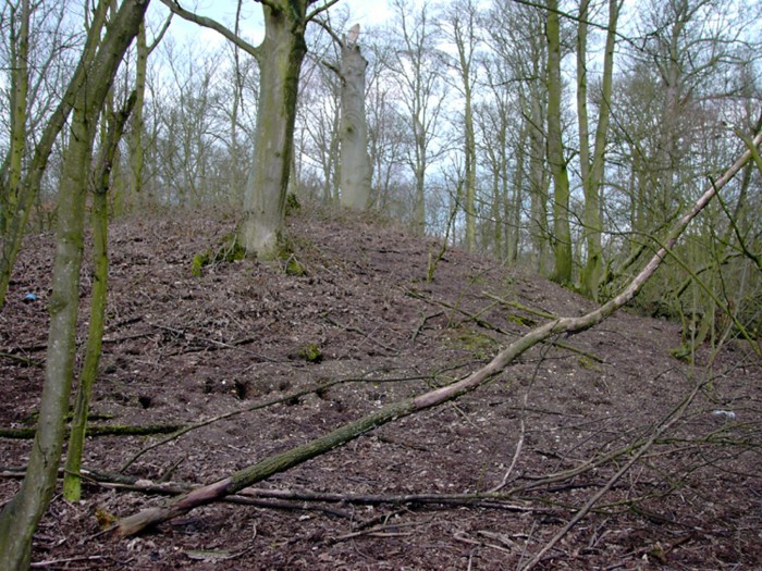
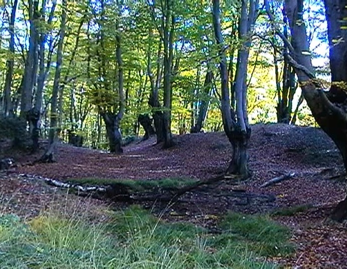
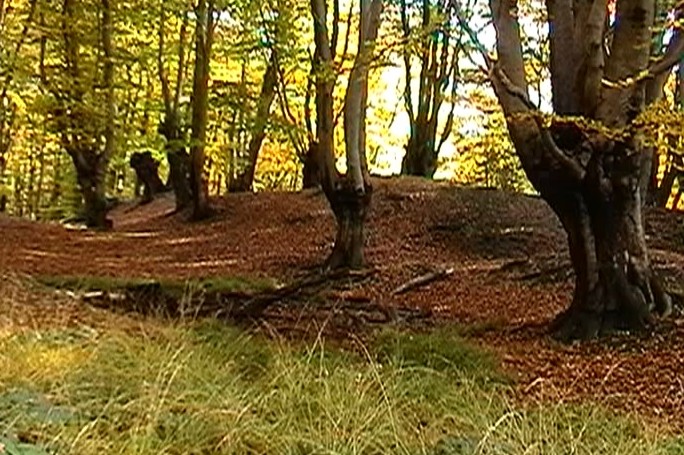
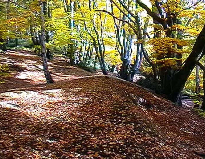
Epping Forest contains two Iron Age earthworks. It is thought that both Loughton Camp and Ambresbury Banks were built around 500 BC. Used as animal folds in times of attack from another tribe or as look out posts and boundary markers between the Trinovantes and the Catevellauni. In use until after the Roman invasions.
Loughton Camp is located deep in the forest and a good map is required to find it. Never properly excavated, but an Iron Age stone quern was found nearby.
|
 
|
|
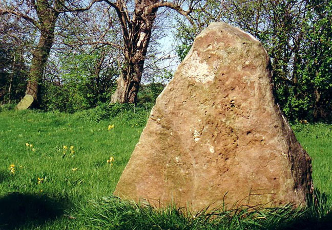
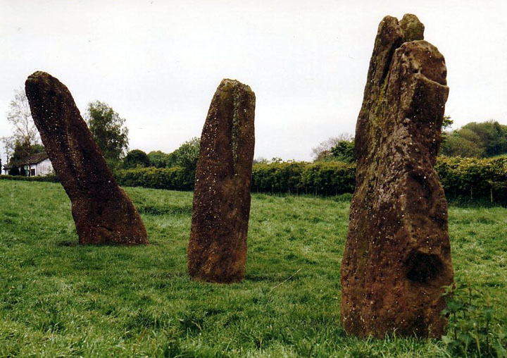
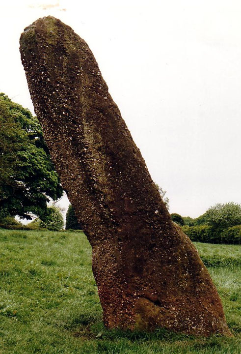
Legend tells that the stone stood on a hill top some distance from the intended site of the church. When the stone was dragged down to be incorporated into the church structure, it returned overnight to the hilltop. This happened three times and eventually the church was relocated and built on the hilltop so that the stone could remain undisturbed.
|

|
 
|

|
|
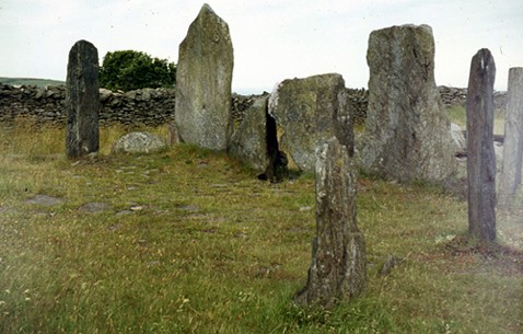
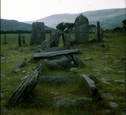
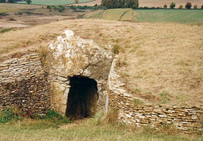
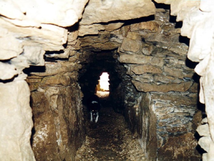
Access is much easier now that there is a well made, but very narrow track from Wellow. The barrow is fantastic and a real must see! Being some distance from the Avebury circus, the interior was free from candles and other new age clutter. How Moth could miss the giant ammonite cast I'll never know! The setting of the barrow and the surrounding hills is superb.
|
 
|
 
|
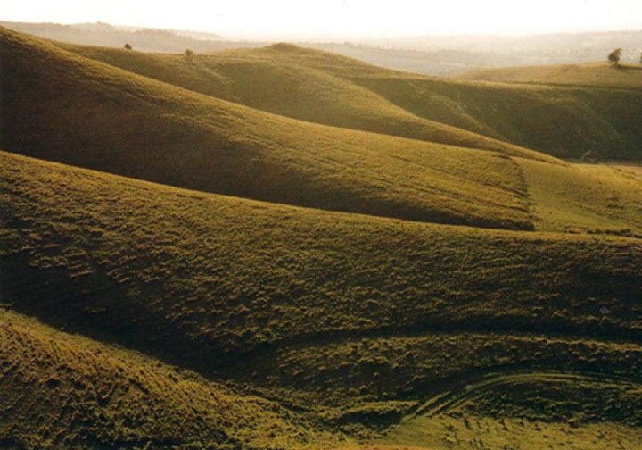
Accessible from Little Sodbury and Old Sodbury, but don't try the footpaths from the A46 as they are invisible beneath crops! I parked by Old Sodbury church and took the footpath opposite that goes along the left side of the village school. This is the Cotswold Way and is well marked. Keep to the left as the path skirts a steep hill and then, when a wood is reached, turn right and climb steeply up the hill.
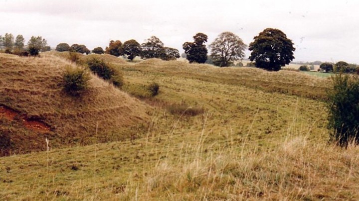
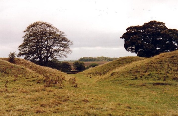
The land towards the A46 is quite flat and the fort is defended by two banks and a ditch. Listed as Iron Age, yet the inner bank is perfectly rectangular with rounded corners. It looks very much like it was re-shaped by the Romans.
|

|
|
The banks of Bury Camp are in dense woodland near Colerne. The interior of the fort is ploughed out and arable. Very difficult to explore.
|

|

|

|
Earliest Cemetery Dated
A cave in the Mendip Hills in southwest England has been revealed as the earliest scientifically dated cemetery in Britain.
The age of the cemetery makes it an important European site
The site at Aveline's Hole, near Burrington Combe, contained human bone fragments that have now been confirmed to be between roughly 10,200 and 10,400 years old.
More...
|
 
|

|
|
A small hillfort overlooking the Severn Valley with distant views of Bristol and South Wales. The fort is built high up on an outlying spur of the southern Cotswolds and is best seen from the high ground of Dyrham Park (NT)
|
|
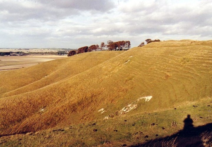
A small hillfort near Devizes with two round barrows to the south-west.
|

|

|

|
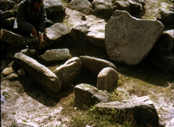
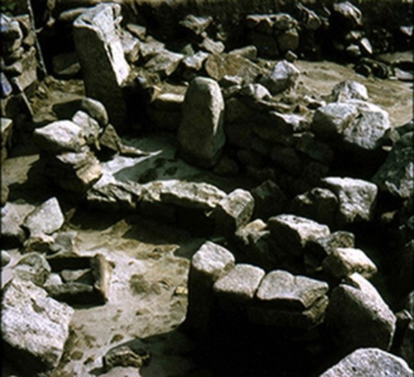
Variously called Portingbury Hills and Portingbury Rings, this site is an Iron Age farmstead. It consists of a rectangular mound measuring 100 by 70ft surrounded by a strong ditch up to 35ft wide. Another mound - sausage shaped runs up to it. The ditch of this mound is less well defined. Two zigzag banks to the east form an incomplete enclosure with the Sherborne Brook.
Excavated in 1964, the ditch is V-shaped and was originally 6ft deep. Finds dated to the Iron Age include a small flint blade, four potsherds, animal bones, burnt flint and charcoal. Best seen in winter when the vegetation is lower and the ditches full of water. Easy to find from Post 11 of the NT's Nature Trail. Walk down the path into Beggar's Hall Coppice and very soon you will cross the first banks. Very wet area so good boots are a must.
|

|
|
Yet another group of "Seven Hills". Now only slight traces of four remain, one of which has been excavated and dated to the Bronze Age. Soil marks indicate a ring ditch.
|
|
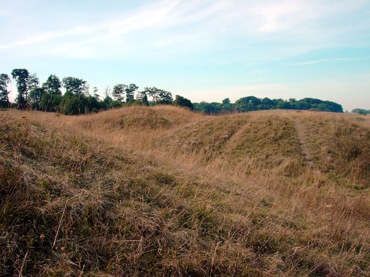
Two burial mounds of unknown date in the grounds of Honington Airfield, Larkhall Heath.
|
|
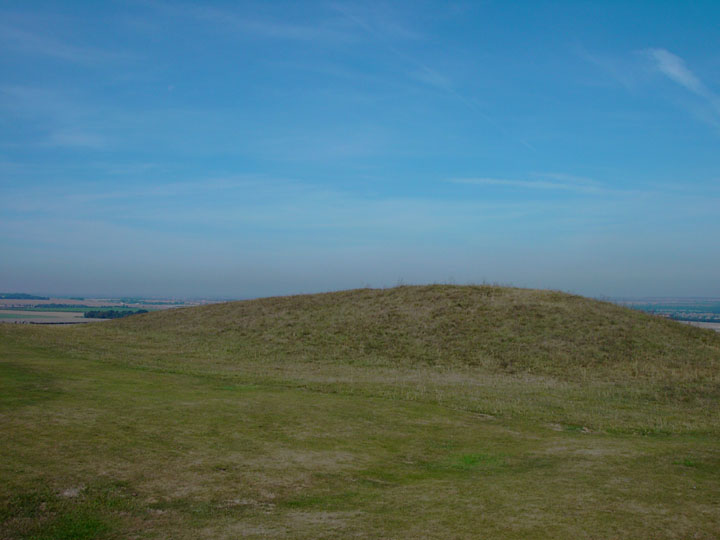
A turf covered bowl barrow measuring 27m across and 1.7m high.Excavated in 1958 when a female skeleton and incense cups were found. Dated to the early Bronze Age 2500-1501BC
|
|
A very large Bronze Age barrow with ditch and bank. Steep sided and tree covered, it is much burrowed into by rabbits. Scheduled but not yet excavated.
|

|
|
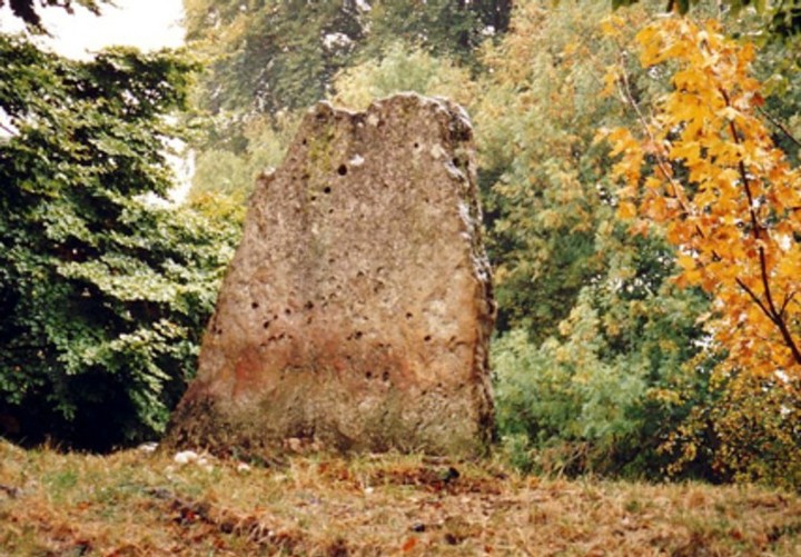
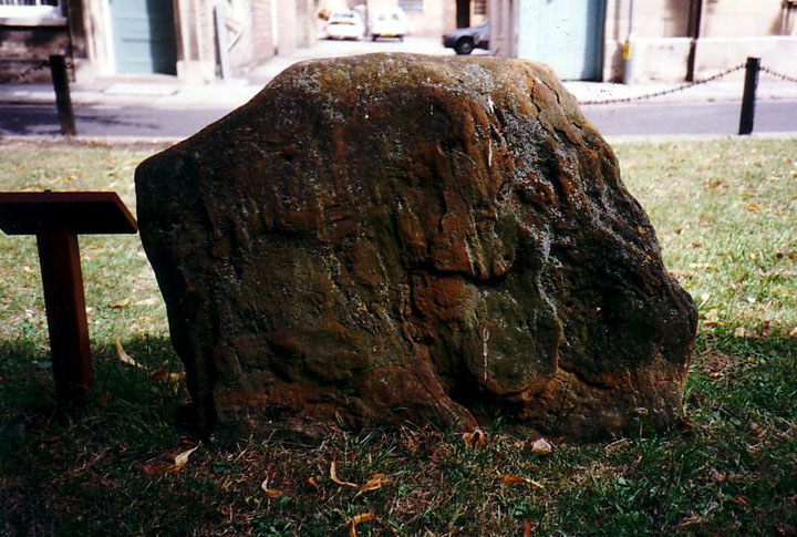
The stone is located on the green outside Peterborough Museum. The notice indicates that the "Neolithic standing stone was moved from a nearby location and re-erected here". When I visited, there was a temporary exhibition featuring a life size figure of LaraCroft - Tomb Raider. Strange item for a museum, but I suppose that most archaeological exhibits in museums are from raided tombs!
|
Showing 1-50 of 127 posts. Most recent first | Next 50
|
| |