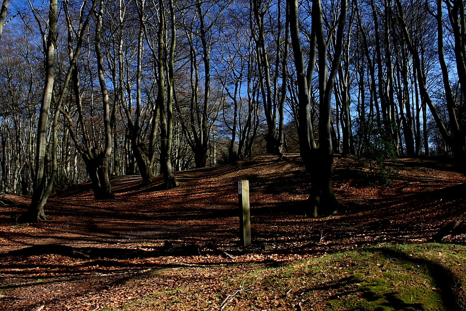
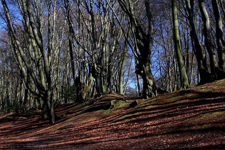
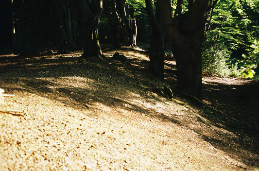
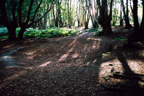
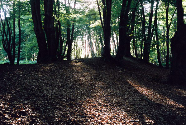
A companion site to the more defined enclosure of Ambresbury Banks, a little way to the approx north-east, Loughton Camp possesses the forest vibe of the former.... with bells on.... thanks to its location, well off the beaten track, in the middle of Epping Forest. As such, it is arguably not the easiest site to find, although it must be said that I am notoriously bad navigating through woodland. Perhaps the most straight forward way is to therefore take the main track from the car park until it bisects another. Follow this to the right for a little way, then veer to the right into the trees... (hopefully) you find the ramparts emerging from the forest in a short while. Ta dah!
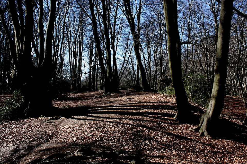
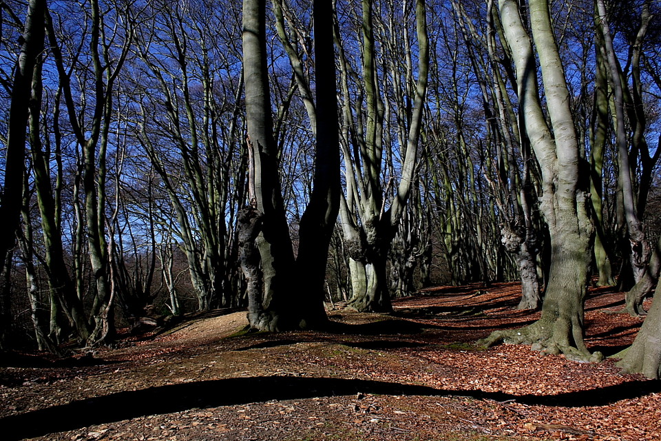
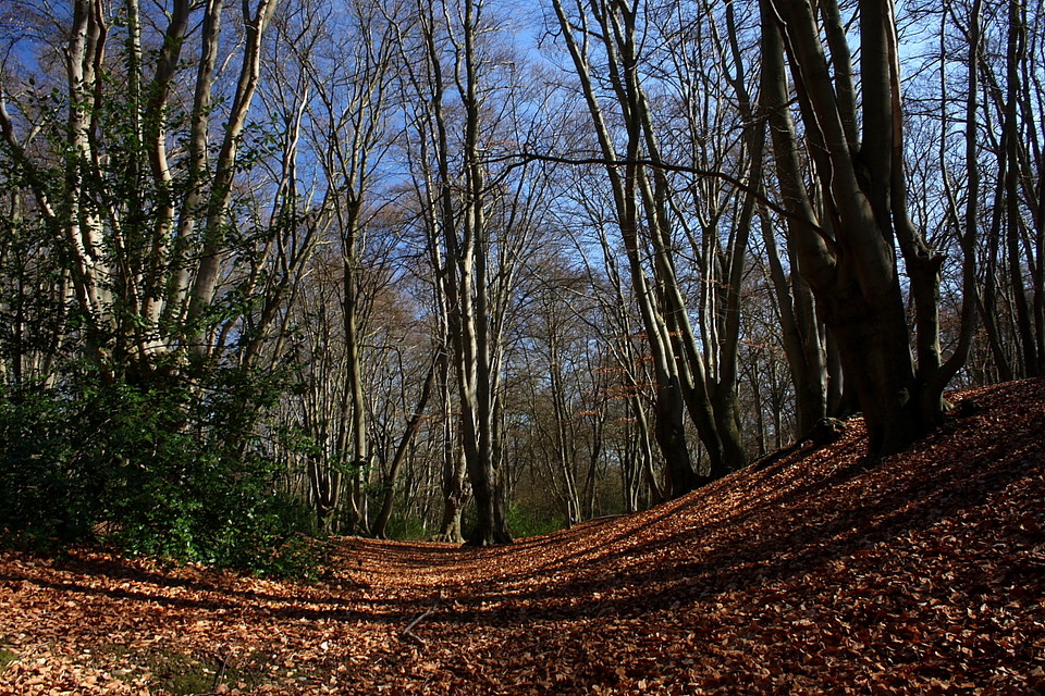
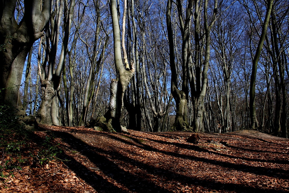
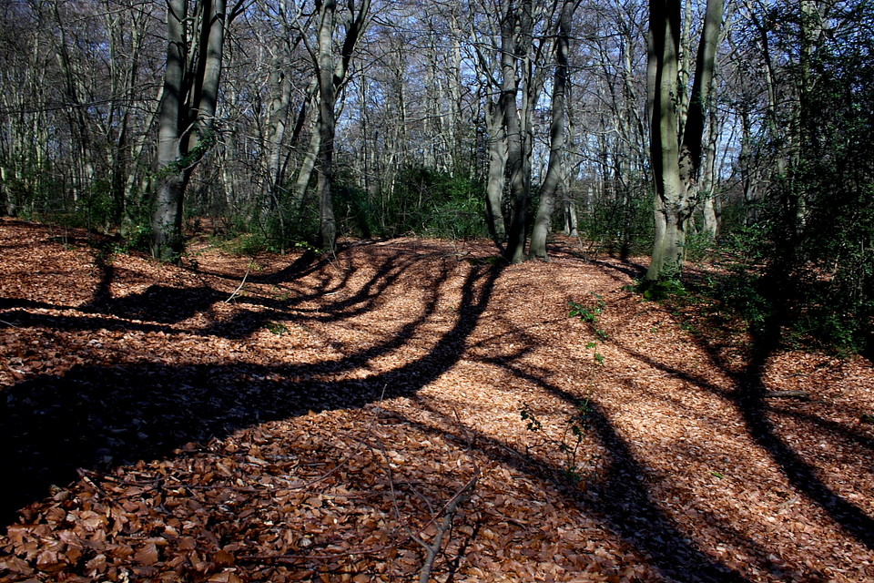
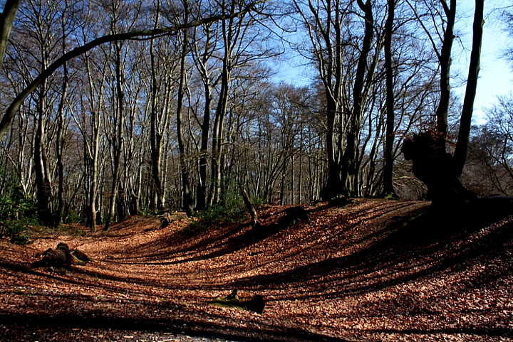
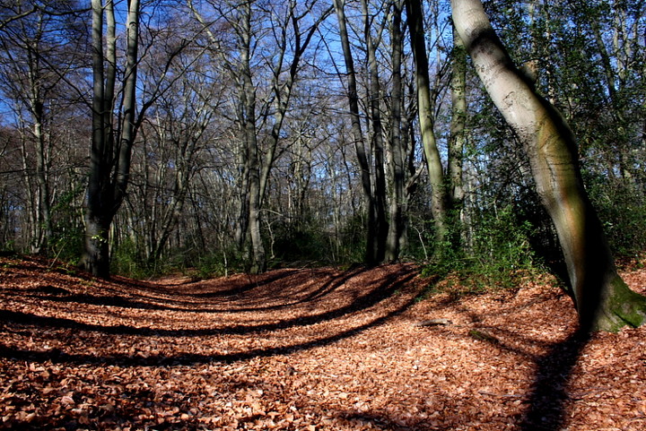
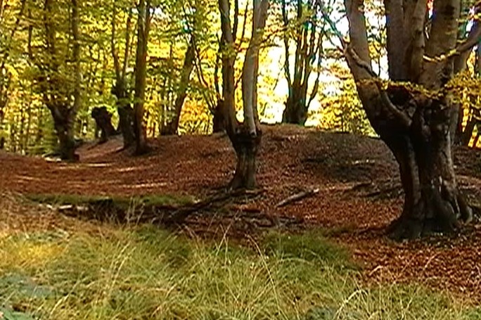
As mentioned, the atmosphere here is intense, brooding... almost as if the forest is simply aching to tell you something of great magnitude... but not quite yet. I'd say you would hear a pin drop, but.... even cliches have to possess a basis of truth... As with Ambresbury, today the trees surmounting the rampart create shadow representations of themselves to paradoxically highlight irregularities in bank and ditch with shade, so forming a whole new abstract world to challenge the senses. Or something like that. Yeah, there is a real feeling of 'other-worldliness' here. It is pretty much accepted that the not-so-dandy-highwayman - and erstwhile all round 'nutter' - Dick Turpin used to hide out in Epping Forest, Loughton being one location cited as his camp. It would certainly fit, since this enclosure just feels right, you know? A place where legends just might be born.
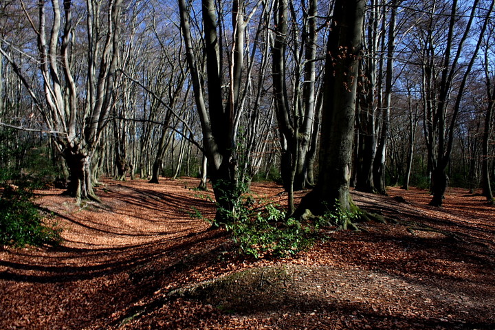
Metaphysical doodlings apart, Loughton is also a pretty decent defensive enclosure, although I did find the rampart a bit difficult to track in places when walking anti-clockwise. Better off meandering clockwise, then. Like Ambresbury it is said Loughton probably also functioned as a defended animal fold in times of trouble. Always a good idea to protect your most important assets from the neighbours... Nowadays, however, all is quiet. Assuming you can put up with the occasional falling pin on leaf, that is.
Epping Forest contains two Iron Age earthworks. It is thought that both Loughton Camp and Ambresbury Banks were built around 500 BC. Used as animal folds in times of attack from another tribe or as look out posts and boundary markers between the Trinovantes and the Catevellauni. In use until after the Roman invasions.
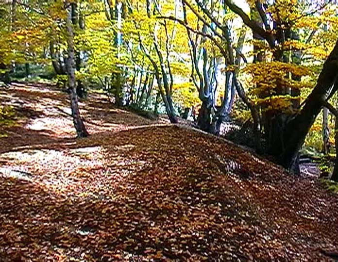
Loughton Camp is located deep in the forest and a good map is required to find it. Never properly excavated, but an Iron Age stone quern was found nearby.
My first go at some field notes so I hope this is OK
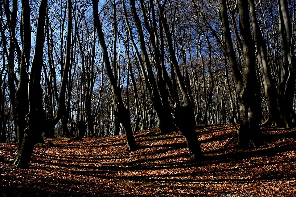
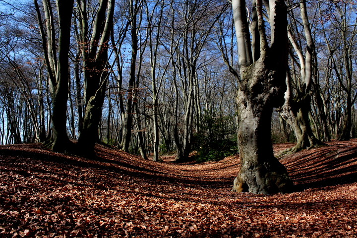
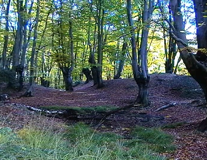
The "hillfort" is roughly oval in shape. It encloses 2.6 hectares and occupies the end of a spur with extensive views to the south (when all the trees were chopped down!) a stream rising in marshy ground in the south-east corner is an unusual feature. The steep hill slope on the W and SW adds to the strength of the single V shaped ditch (2.7meters deep). The original entrance has not been identified.
The West side features a forest Ride runining along a contour at the bottom of the earthworks but dug into the hill - I have been unable to findout if it was created as part of the victorian "ride building program" or is an original feature. The banks are very heavily forested though quite easy to find and hardly any moden damage except 1 area where mountain bikes have caused damage (they are now banned from the site).

 Maps / Plans / Diagrams:
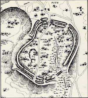 Artistic / Interpretive:
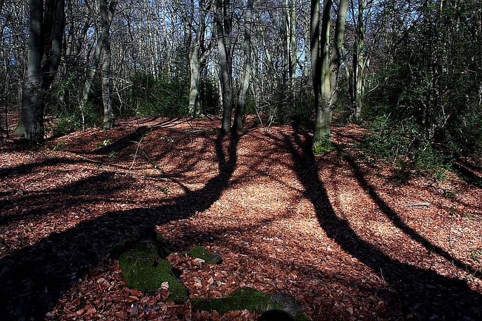
 Posted by GLADMAN