|
|

|
|
Symonds YatHillfort
|
||||||||||||||||||||||||
|
|
|
Images (click to view fullsize) |
|
Photographs: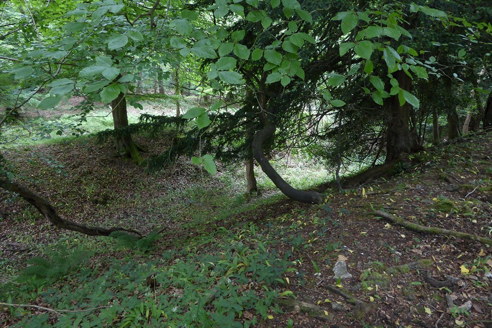

 Maps / Plans / Diagrams:
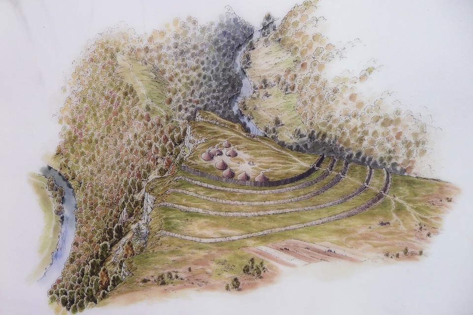
|
Fieldnotes |
|
|
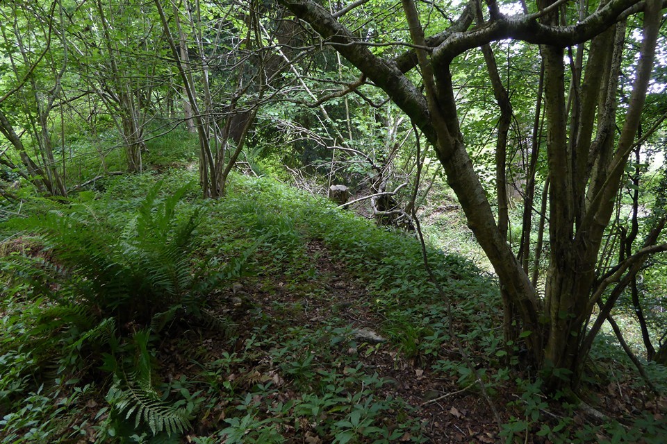
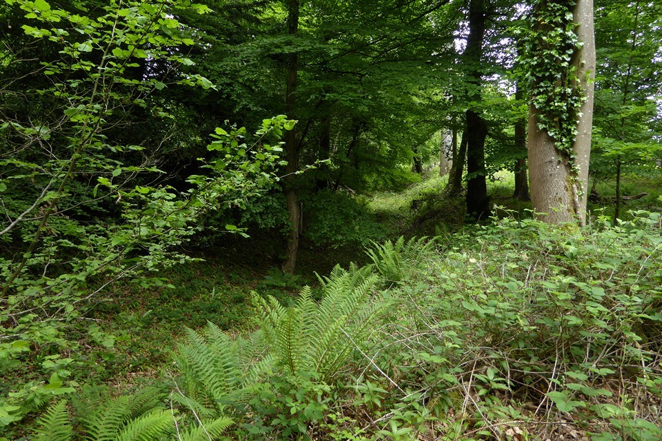
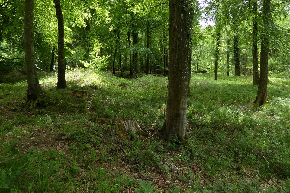
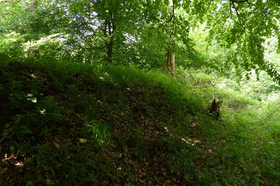
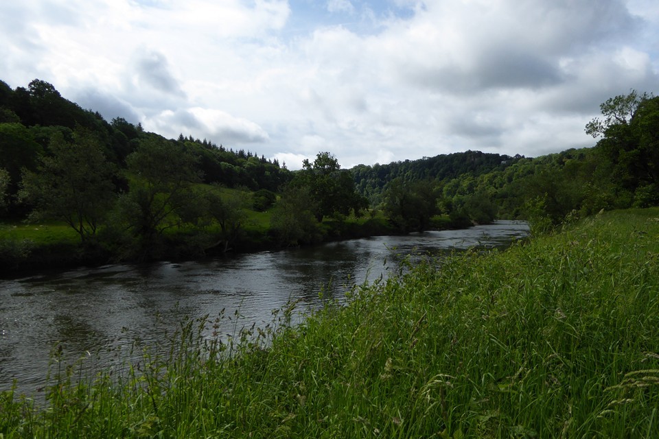
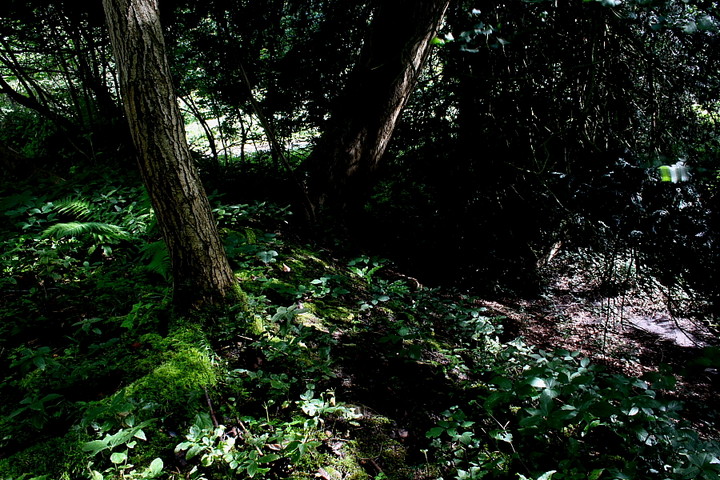
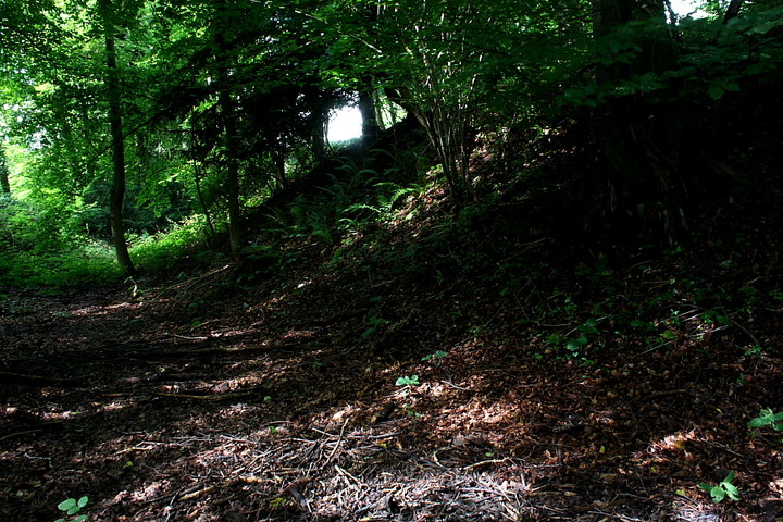
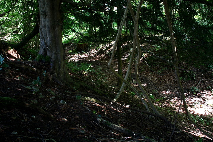
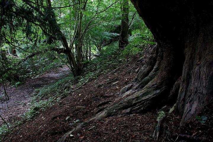
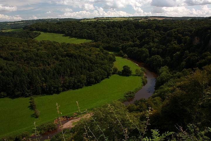
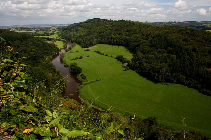
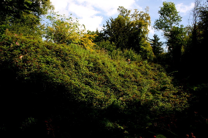
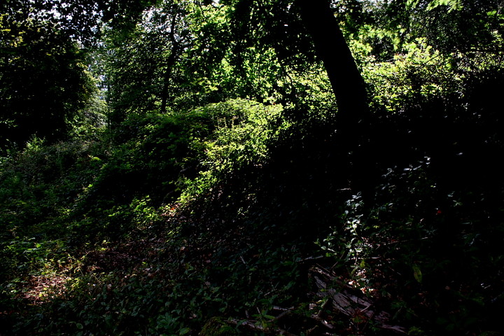
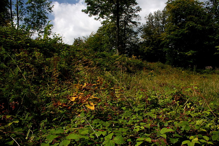
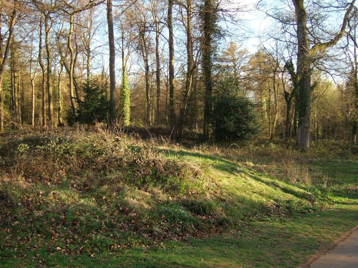
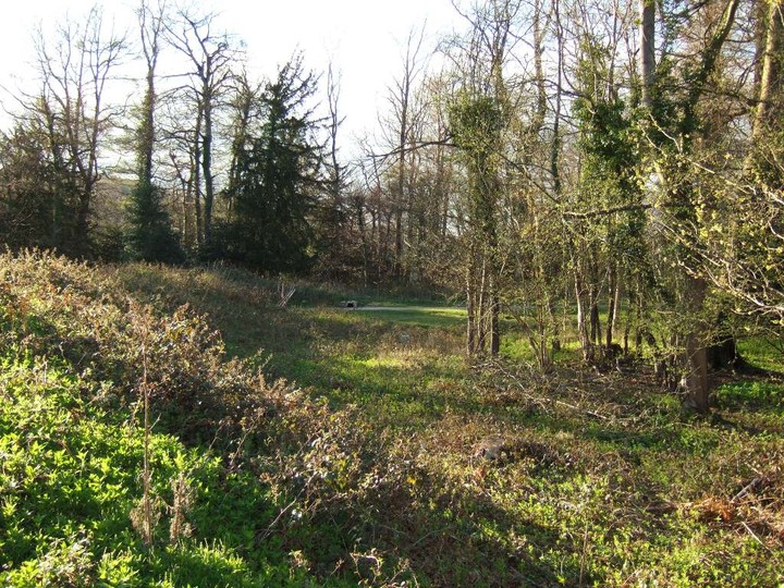
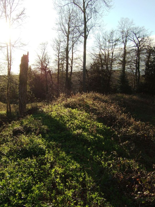
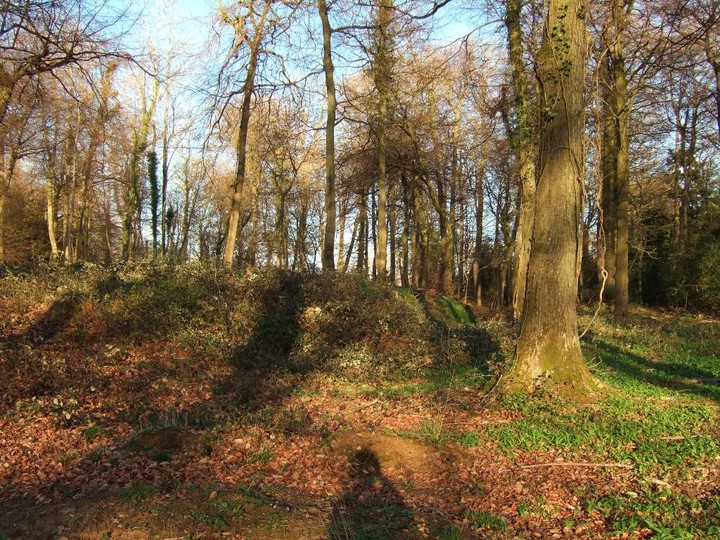
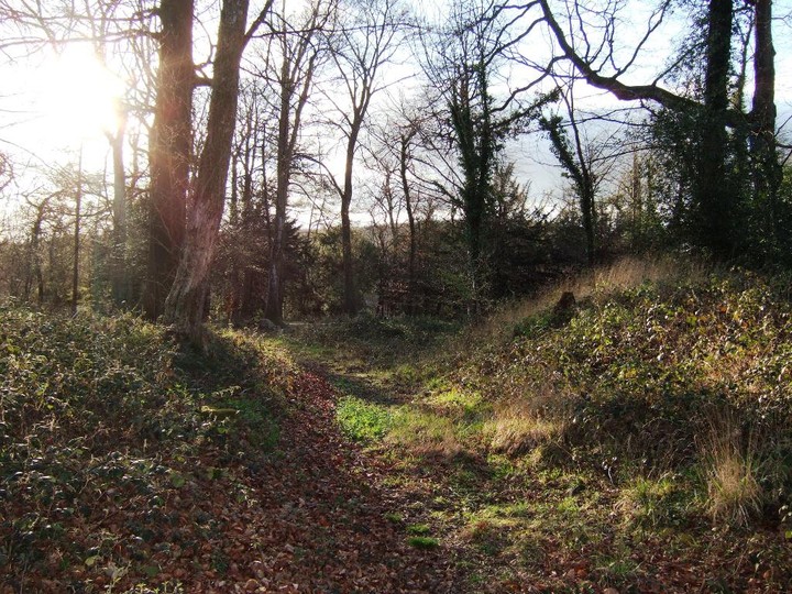
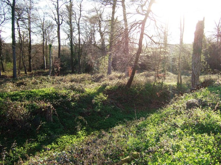
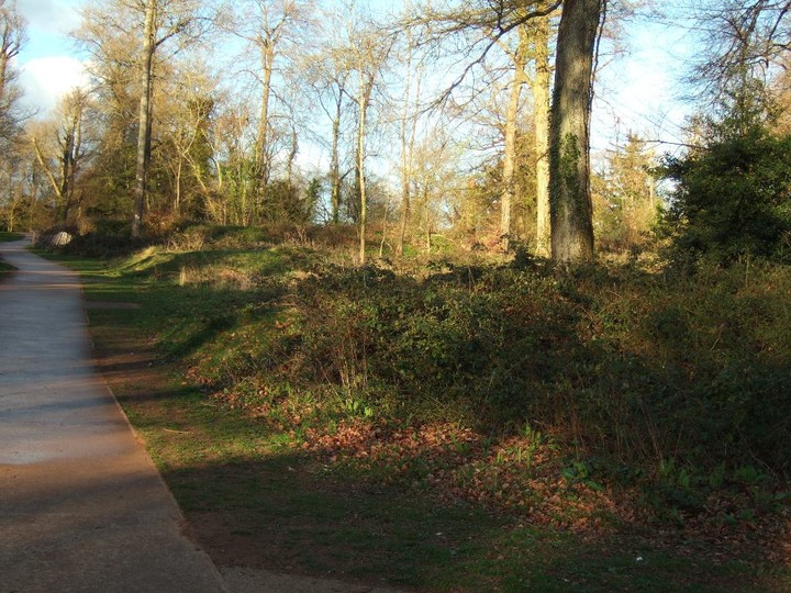
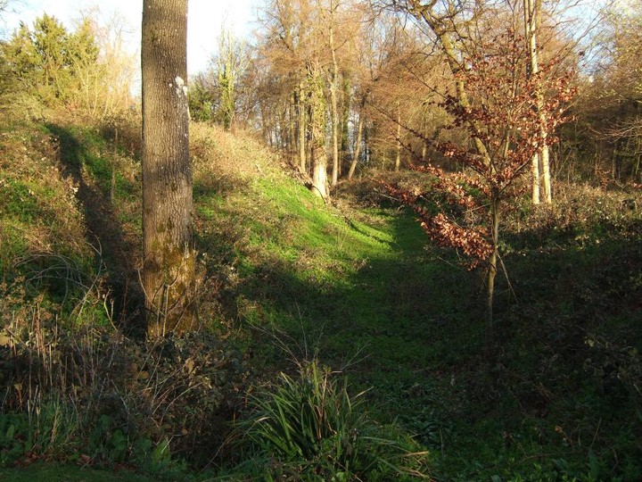
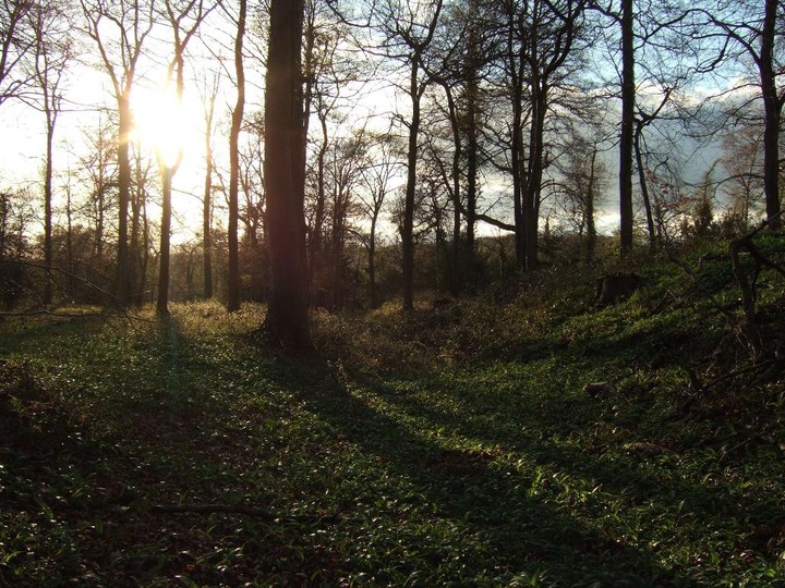
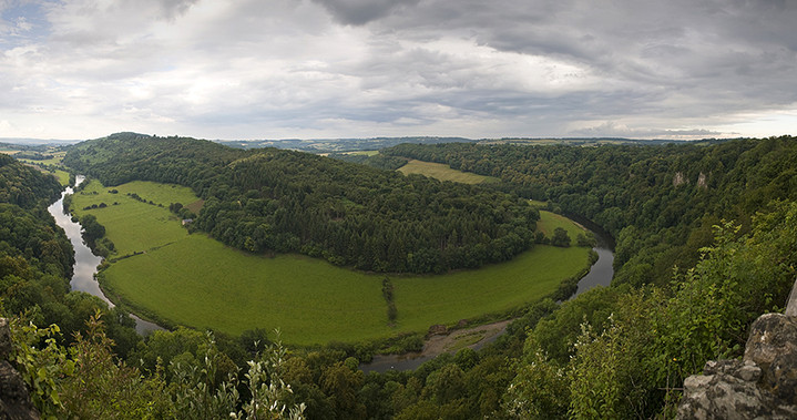
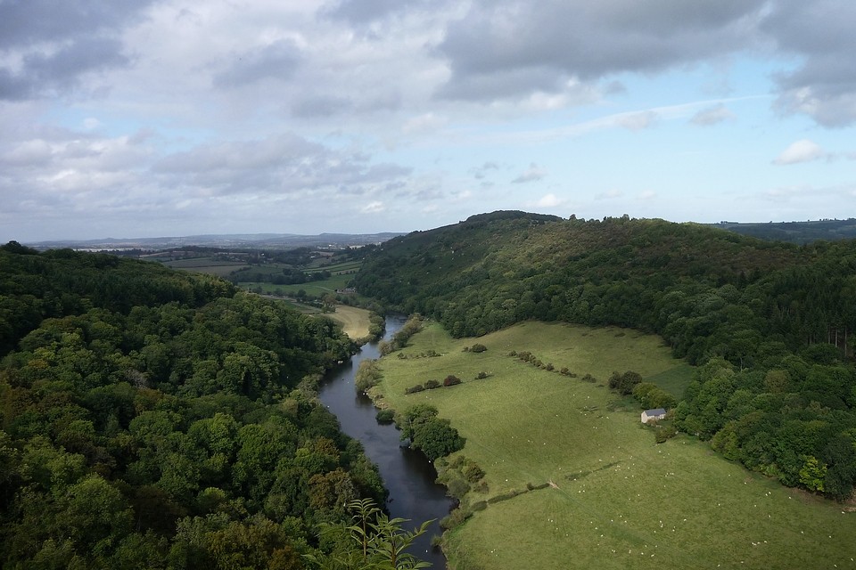
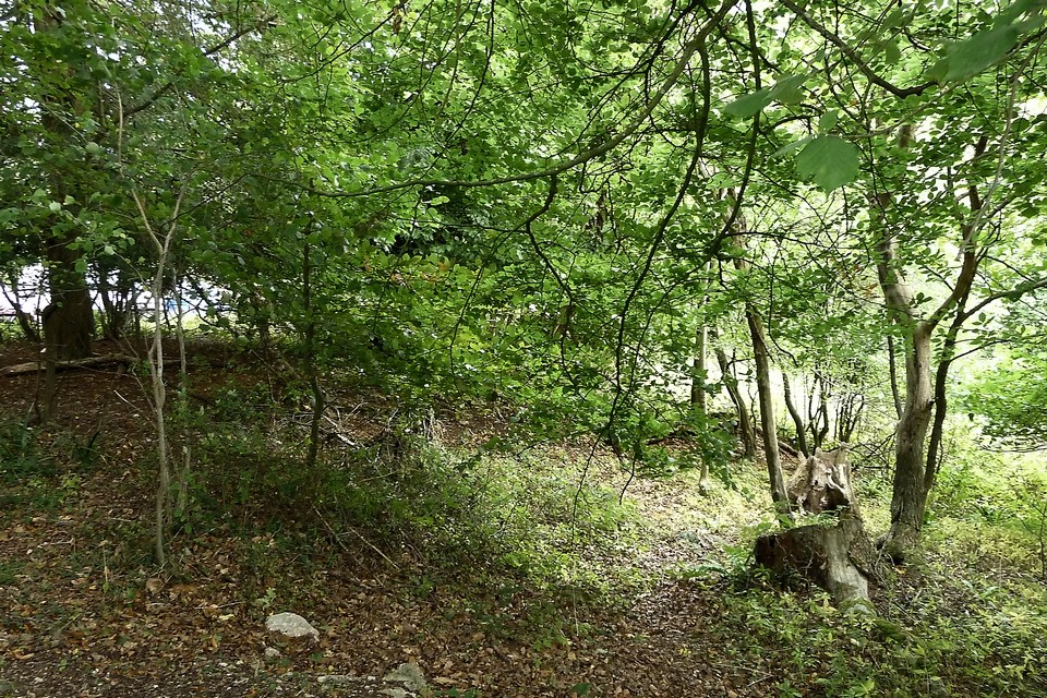
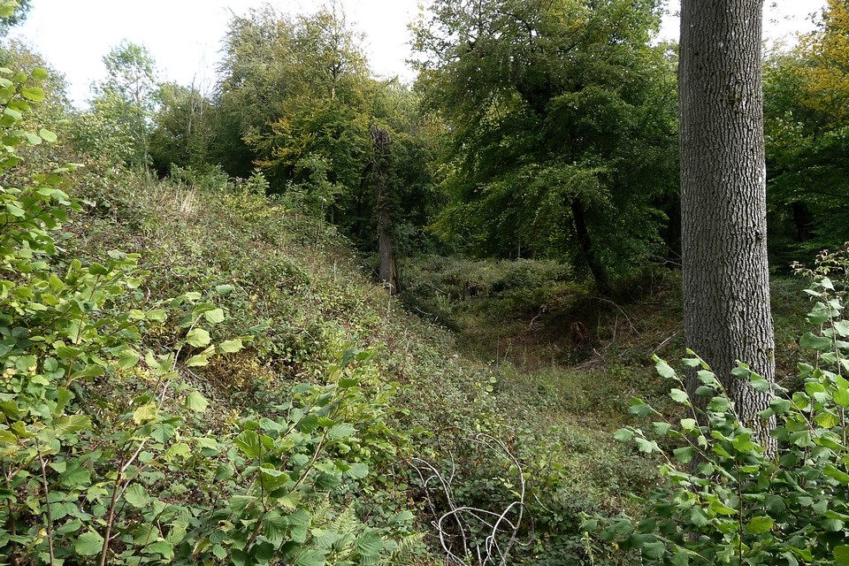
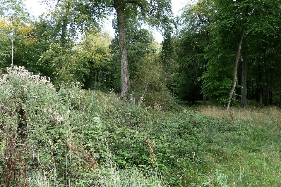
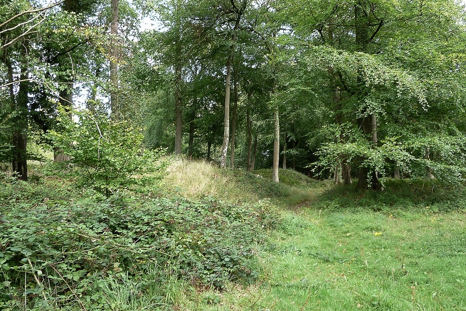
A summer's day revisit (11 June 2021). Fancying a trip to the Wye Valley and realising it's been a decade since my previous visit, this seemed like a good place to combine with a couple of quiet hills on the border between Herefordshire and Gloucestershire. The bus drops me at Goodrich, and a steep climb takes me up Coppet Hill from where I can survey most of western Herefordshire, across to the Black Moutains in the west and even as far north as Titterstone Clee in Shropshire. Everything is beautifully green and lush. A superb start to the day. From here I can also see The Queen Stone, which I've never visited but which I really should. The excellent aerial view unfortunately also reveals that the farmer is busily spraying the crop in the stone's field today, which puts paid to that idea. Instead, after a pleasant wander along the ridge to take in the excellent views, I drop down to the valley and cross the river over Huntsham Bridge (not a very nice road for pedestrians). A footpath runs southeast along the banks of the beautiful Wye, through lush grasses, to the bottom of Huntsham Hill. From the riverside there's a fine view up to the sheer cliffs of the hillfort and Yat Rock. The towering location of the fort is very imposing, clearly no-one would be attempting any kind of attack from the river. Leaving the river bank through a short stretch of chest-high nettles (shorts seemed like such a good idea earlier), I climb up through Elliot's Woods to the top of the hill, before heading to Yat Rock for the stupendously picturesque view of the Wye and back towards Coppet Hill. A quick cup of tea at the cafe, and it's into the trees for a revisit to the fort. The last time I came was September, it was really quite overgrown but just starting to die back. Unsurprisingly, June is just as bad in this height of the growing season. The western ends of the ramparts are a choked tangle of briars, hazel and nettles. Luckily, the tall tree cover is thicker to the east, so the shin and ankle shredding undergrowth is less deep and difficult to get through. I'd forgotten just how impressive the inner banks and ditches are, the earthwork standing well over my head from the ditch. A winter or spring visit would almost certainly be better to reveal more, but it's very pleasant here in the trees and no-one else seems inclined to leave the paths and roads. After exploring as much as the vegetation allows, I head off along quiet footpaths, to catch a bus from English Bicknor. It's been a lovely revisit to this scenic part of the Wye Valley, and definitely worth approaching the fort from below to truly appreciate its daunting location. |
 Posted by thesweetcheat
6th March 2022ce Edited 8th May 2022ce |
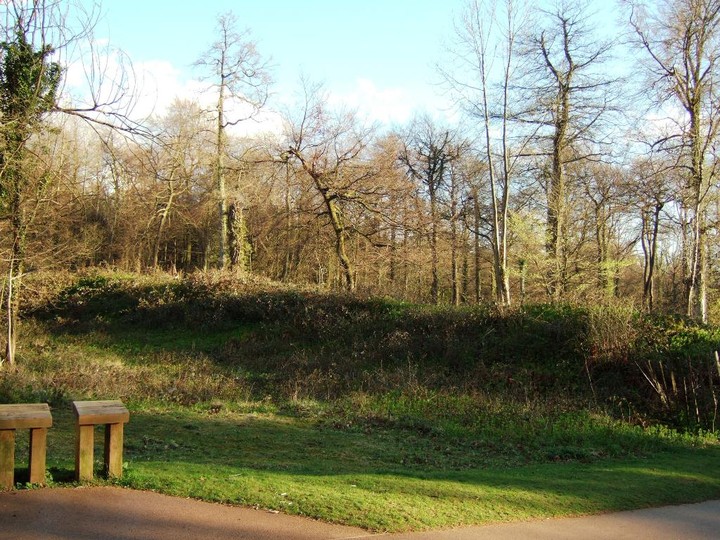
| Park in the pay-and-display car park (not cheap!) and stroll up to the 'log cabin' where you can buy a nice cuppa and then take in the view from Symond Yat rock. Between the car park and said 'log cabin' you walk through the hillfort - defences either side of path. Couldn't be easier. |
Posted by CARL 15th March 2010ce |
|
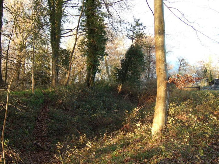
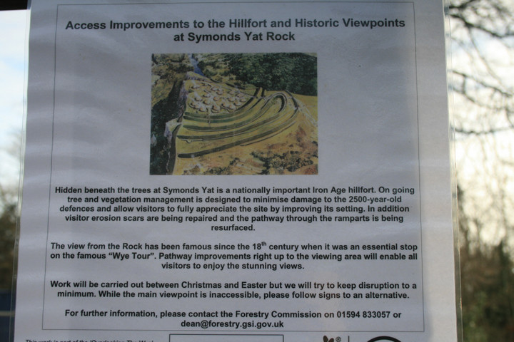
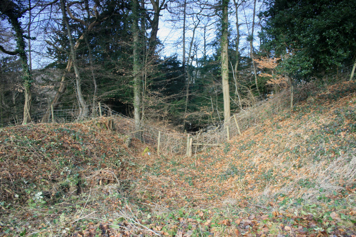
Never have I seen a hillfort with such effortless access. The hillfort at Symonds Yat is still impressive despite being almost entirely in the carpark of said beauty spot, upon entering the carpark from the road a single lane takes you laboriously round and through the woods and right past the earthwork, (but you can't stop here) reckoning on the size of the carpark it must get pretty busy in the summer. The innermost bank and ditch are the biggest by far, at least ten feet seperates the top of one with the bottom of the other, and at least two other smaller earthwork defences lie just yards down the gentle slope. The path from the cars to the viewpoint cuts over and through the defences but kind of gives an almost cross section view of the hillfort. Because of "access improvements" we were denied that famous vista of the River Wye running to and from us, but were led off down a path to an alternative viewpoint. Which quite frankly wasn't what we'd come for, all I can say is Goodrich castle better be open, and bring on the stones. |
 Posted by postman
5th March 2009ce |
|
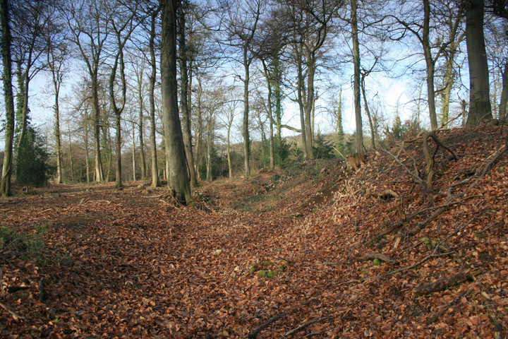
Symonds Yat - 24.4.2004 The OS map shows three parallel lines of defences on the south side of the Symonds Yat Rock, and an extra bank at the west end. This would have attempted to cut the whole of Huntsham Hill off from the mainland, with the River Wye surrounding it on three sides. They are situated on the west side of the road (B4432), just to the south of the entrance to the car park for people with disabilities. Three lines of banks and ditches are clearly visible (but not large), with the northern one being the largest. This one seems to straddle the road as well. This is not actually the high ground in the area, and the defences are slight, so this seems to be a relatively low-key attempt at any sort of 'defence'. The nearby Yat Rock is a major viewpoint in the area and is well worth a visit. Another excellent viewpoint exists just off the east side of the road, opposite the banks and ditches. |
 Posted by pure joy
27th April 2004ce |
Links |
|
PASTSCAPE |
 Posted by MelMel
24th August 2009ce |