Visited 17.7.10.
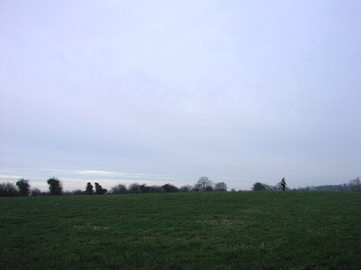
A very slight rise can be seen in the middle of a field if you look hard enough!
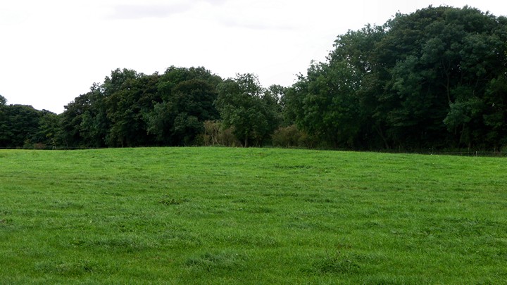
There is very little to see and only worth a look when visiting Farmington Hillfort.
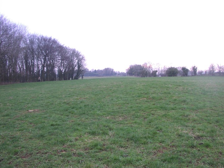
Visited 5.9.2009 as part of visit to Norbury - unsurprisingly, nothing to report since Jane and Moth's visit. Reduced to almost nothing, after my earlier visit to Hampnett barrows this was obviously going to be a day for ghost barrows.
Reduced now to a virtually imperceptible swell in a meadow, you have to be a real Long Barrow Detective (cue for TV series?) to even notice this let alone get excited by it. I walked its length. At some point it was very big, but this has melted away to almost nothing. What a bloody shame.
(SP 12361549) Long Barrow (NR). A long barrow 190 ft by 70 ft by 4 ft high, oriented ESE/WNW. A large stone, possibly part of a burial-chamber, which was visible on the mound in Witts' time, had disappeared by 1920. (2-4) The long barrow within Norbury camp is now a low, featureless mound. (5) Ploughed down long barrow, orientated NW to SE, the SE being the higher and wider end, and measuring 73.0m long 28.0m wide at the SE end and 16.0m wide at the NW. Maximum height 0.6m.
The field in which it falls was under a winter cereal crop at the time of investigation. It was generally stony, but over the barrow there is a higher proportion of stone to earth than elsewhere. No side ditches and no traces of burial chambers were visible. Mrs O'Neil recalls large stones being removed from the barrow in the 1930s Resurveyed at 1:2500 on antiquity model.
A probable Neolithic long barrow is visible on aerial photographs as a slight earthwork within the south-western corner of Norbury Camp Iron Age hillfort (UID 329935). This feature was mapped from aerial photographs as part of the South Cotswolds NMP project, and forms part of Scheduled Ancient Monument 209 (county number).
Centred at SP 1235 1550, the oblong-shaped barrow as visible on 1946 aerial photographs appears to measure approximately 67m north-west to south-east, and 18m south-west to north-east. It is hardly visible at all on later aerial photographs (7).

 Posted by thesweetcheat
 Posted by Jane
 Posted by Chance