Mr Hamhead

Mr Hamhead

All posts expand_more 501-550 of 900 posts

Isle of Portland

With only half a day to explore and a bitter wind to contend with... and no map or guidebook, I hope I can be excused for not finding any ancient sites! However I did drive past the Culverwell site on the way out to Portland Bill. It sits right beside the road, which was how I spotted it, with a sign saying middle stoneage site (or something along those lines). All I could see as I drove past were two B&Q sheds and a larger wooden construction that was obviously covering something. The site was not open and you would have to walk to it from the car park at Portland Bill (pay and display) as parking on the road is not allowed.

For more information on site see links.

Miscellaneous

Isle of Portland

Very little remains of ancient settlements on the Isle of Portland. And yet this large lump of rock sticking out into the English Channel must have seen plenty of ocupation before the Romans arrived.
The only real evidence still to be seen is at Culver Well, very near the southernmost part of the island at Portland Bill. This is supposed to date back nearly 7,000 years.
Evidence of the Bronze Age can be found in field names etc. Row barrow, Brans Barrow, Round Barrow and Kings Barrow are just some that can be found. Kings Barrow is now a nature reserve in a stone quarry behind The Verne prison. The barrow is said to have existed up until 1870.
The stone that has made Portland famous is possibly the main reason that very little remains on the island. As well as destroying barrows it is thought a stone circle was destroyed in 1847 when The Grove prison was built. The name of the prison could be a clue but it is also mentioned that it was known as the Druids Temple.
The Frolic was said to have been a standing stone near Easton. Again it was gone by the turn of the 20th century.
Another standing stone is thought to have stood near Southwell, giving its name to Long Stone Ope.
During the Iron Age chambers were cut down into the rock. These later became known as Dene Holes, or beehive chambers. They were conical in shape and up to 10ft deep. It is thought they were used to store grain. Several were discovered around King Barrow when quarrying started. I am not sure if any remain.

These are just some quick notes I took from a book on the history of the Island by Stuart Morris. I only had half a day to explore and with all the later industrial history around plus some fantastic coastline I did not have much chance to seek out anymore info. There is a museum on the island but it was closed in late Februrary.

Image of Stowe’s Pound (Ancient Village / Settlement / Misc. Earthwork) by Mr Hamhead

Stowe’s Pound

Ancient Village / Settlement / Misc. Earthwork

On the southern edge of Stowes Hill, just before it falls away into the quarry, stand three or four stones. This one, the largest, is about 5ft high. They could be part of the old wall that encircled the hill, or they could have been inside the wall. The creating of the quarry in the 1800s means we will never know.
Cheesewring jut behind on left.

Folklore

Treninnow Stone Monument
Dolmen / Quoit / Cromlech

A large amount of space is given over to this “destroyed” monument in “The Romance of the Stones”. In the Broderick Index, which is kept at Plymouth Local History library there is a account from a Mr West (born about 1900) who remembers his mother telling him about how she walked under a large stone supported by three others that leaned inwards. She went on to say that her father later pulled the stones down to make a haedge and covered the site with soil.
The CAU looked into this story in 1978 and confirmed this site after looking at aerial photos and the old tithe map which quoted a Borrow park at this point. A distinct circle, about 25 mters accross could be seen on the photos.

Treninnow Gatepost

Leaning beside a wall just off the military road that runs along the coast at Whitsand bay is this former gatepost. I have to call it that because of the fact that it still has the rusty hinges embedded in it. But it is alone... I could find no other granite gateposts in the area during a two hour walk. The stone is long and slender and stands very near to a field called barrow Field. This is supposed to be the site of the Treninnow Stone Monument (see other posting). Could this stone have been part of the monument?

Caradon Hill Area Heritage Project Roadshow

Press Release 10 Nov 2005

A roving display about a major bid to help conserve and manage the Caradon Hill area takes to the roads of South East Cornwall on Monday 14 November.

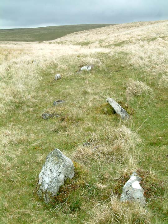
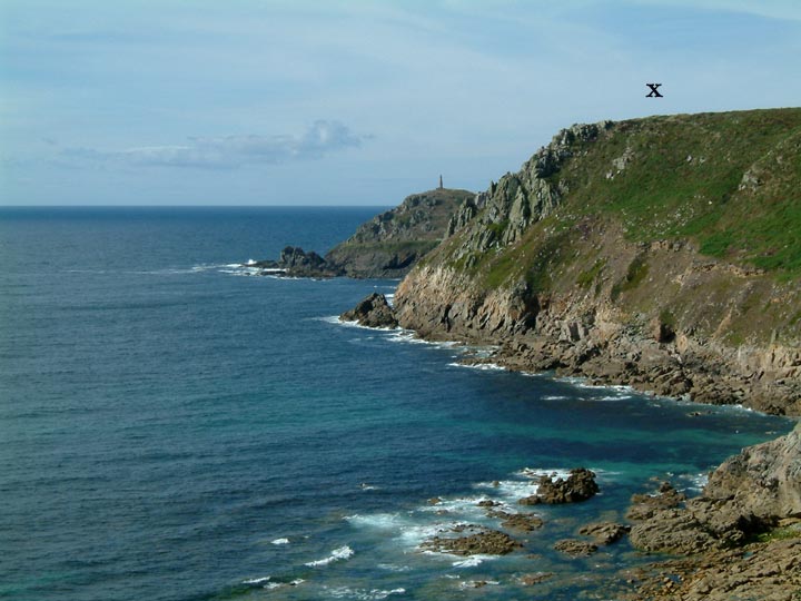
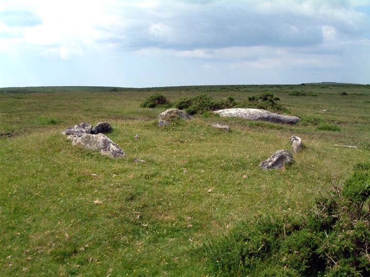
The roadshow aims to spread the word about the Caradon Hill Area Heritage Project and the special features of the local landscape, which includes moorland, rolling farmland, wooded steep valleys, industrial remains and Neolithic sites such as Trethevy Quoit.

The display is one phase of a Heritage Lottery Fund bid planned by Caradon District Council and Cornwall County Council for next year, which could secure funds for restoration, preservation and enhancement work suggested by the community.

The proposed project area for the bid covers around 58 square miles to the north of Liskeard, centred around Caradon Hill, which is part of the granite upland of the south eastern portion of Bodmin Moor, and including lowland areas surrounding the hill. Some 10,500 people live in the area in settlements including Pensilva, St Cleer, Minions, Upton Cross and part of Liskeard. The area is of great heritage and environmental importance, with part lying within an Area of Outstanding Natural Beauty and the remainder in an Area of Great Landscape Value.

The display includes information about the Caradon Hill Area Project plus photographs and pieces written by local residents describing the area’s unique qualities. There will also be details about the consultation report that will be available to the general public to read and comment on from the end of December to January.

Caradon Hill Area Heritage Project development officer Becky Hughes said: “All of the photos and creative writing were inspired by a recent community workshop about the landscape character of the Caradon Hill area. I think people will surprised and delighted by the quality of the work, which very much reflects both the detail and the vastness of the landscape.”

The roadshow will be on display at:
• Liskeard Library – 14-20 November
• St Cleer Memorial Hall – 21-27 November
• Upton Cross School – 28 November-4 December
• Pensilva Millennium House – 5-11 December
• Minions Heritage Centre – 12 December onwards

Caradon Hill project update including Hurlers re-erection

The project to get funding to improve the area around Caradon Hill has “reawoken”. A new project officer has been appointed and “experts” brought in to assess the whole thing.
At a meeting on the 31st October Bryn Tapper of Cornwall Historic Enviroment Service (what used to be CAU) discussed what role the archaeologists would like in the project.

Keeping away from the 19th century mining remains he has looked at over 1000 sites in the area which stretches from Bearah Tor in the north to Liskeard town in the south, Golitha falls to the west and the Lynher river in the east. Of this 1000 sites he cut it down to 165 which were inspected on foot. From this the team have drawn up a list of 95 that they believe would benefit from financial help and would be of interest to the community historically.

The sites range from Siblyback lake where flint deposits have been found to dissused Methodist chapels.
The BIG news for those of us on the TMA is that he has put forward a proposel to re-erect 11 stones in the Hurlers complex. These will be part of the northern and southern circle and the latest technology will be used to make sure they are placed in thier correct positions. As many of you will be aware the Hurlers have been re-erected over the years and there is some doubt over the origins of some of the stones.

Bryn is aware this suggestion may not be liked by all, and I have offered to post a few words on the forum... please go there to comment.

Mr H

Tregeseal

22.10.05
Drove up through village to the end of the tarmac. parked and followed sign up track rather than cross fields on footpath. Passed the farm and hit the mud! Once out onto the open moor it is a short walk to the right to find the stones. There is now no sign of the burning from a year or so ago, infact the stones are now surrounded by a good covering of bracken. The sky over Keninjack was ever changing from gray to blue as the sun threatened to come out...I waited patiently and finally got my rewards. Behind me from atop of the wall the Scilly Isles stood out proud whilst St Just church tower gleamed in the sunlight...I would have loved to have walked up to the carn but time was against me...perhaps next time.

Bearah Common

Third time lucky....

October is not the best time to be up on Bodmin Moor looking for sites..bracken is covering almost everything. However, at the third attempt I found the Bearah Long Cairn. If others wish to follow in my footsteps then i would advise taking the minor road from Minions to Henwood. Once in Henwood turn right and climb up beside the riding stables. As the road drops down again there is a road going off to the right. Park on the left and take the track that goes up on the left.
After going through a gate this opens out onto moorland in the bottom of a valley. Follow the track as it climbs and snakes towards Bearah Tor. After most of the bends are negotiated look out for the cairn on the right hand side. The stone that is still “upright” is half surounded by a hawthorn tree and is obscured by it if approaching down the track.
The stones sit atop a cairn that is very overgrown with bracken and i could not make out too much of what remains of the surrounding stones. The central stones, at least three large lehgnts, are laying as if fallen, the one remaining standing being at a angle of about 40 degrees.
It is only in the last 20 years that this cairn has been recognised and i am not sure if any dig has ever taken place. One wonders what form the cairn took in the past? Did all the stones stand upriight and was there a capstone, making it more of a quoit.
I will try to return when the bracken dies down and the rain that soaked me has departed.

Erme Pound

Far, far away from civilisation, deep in the wilds of Dartmoor lies the Erme Pound. It is a collection of broken walls once used to hold animals. It may not be prehistoric but around it lie several stone rows the most famous being Stall Row, perhaps the longest on the moor. It actually crosses the River Erme jus above the pound and goes off into even wilder countryside.

To reach this point requires a stiff walk from Harford. The reward being that you can take in many antiquities along the way including following the stone row if approached from the western side of the valley.

For those wanting isolation, this is the place...especially on a wet misty day like I had!

Image of Butterdon stone row by Mr Hamhead

Butterdon stone row

Stone Row / Alignment

Well hidden cairn to the north of the Butterdon Hill barrow. The stone row runs from here northwards. Its route is now marked by the well worn pathway. In the distance the central hill is Three Barrows, one of which can just about be picked out on the top.

Piles Hill longstone

Is this the longstone still marked on the latest OS map as recumbent? I have visited it twice now and can find no other stone in the area that could be the longstone.
Found on the southern side of Piles Hill just to the left of the Two Moors Way. It has a boundry stone beside it and tends to be surrounded by mud caused by cattle using it as a rubbing stone.

Harford Moor

With so much to see in this area, I missed this the first time around. My second visit this year was with the owners of the land and with their guidance I was led to this site. As Lubin says it can be found by heading north from Harford gate (Not a place to leave valubles in your car) and following the highest edge of the field walls. A track runs to a gate in the field system and then on wards towards Piles Wood. The cist lies on the hillside above the track just before the gate.
No sign of the capstone unless it is the stone a little further up the hillside.

Menhir now back in original position

The latest newsletter of the Cornwall Archaeological Society brings news that the Eathorn Menhir, long stuck at the side of a field and covered in ivy and chicken wire, has now been re-erected in its original position.
With the help of Steve Hartgroves of CAU and the Earth Mysteries Group the original base was found and the stone placed back in it using a local farmers crane.
Sadly this news came 24 hours too late for me...I was down on the Lizard yesterday and if I had known would have popped round for a photo.

Goonhilly Down

Although this area of the Lizard is covered in barrows there are very few other remains to be seen except for the odd menhir like Dry Tree. WARNING! Not all is as it seems...during the 2nd WW the RAF set up a base here called RAF Dry Tree. Much of the base was to do with radar and telecomunications, hence the dishes we see today. The other remains that lie across the landscape are whats left of the station, including some of the “barrows”. Take a closer look and you will see that some of the humps and bumps hide modern buildings, all part of the war effort to camoflage the area.

Dry Tree Menhir

27th Sept 05

The EH carpark has now been tarmaced and the whole area tidied up. Three info boards now tell the story of the whole region. Paths have been improved and new permissive rights of way opened up. You are now free to explore the whole of Goonhilly from here down to the sea.
It is still posible to follow the path along the perimeter fence of the telecom ststion but a nicer route is to head south of the dishes around a large almost hidden 2WW building (it is possible to climb on top for some great views over the downs, but be carefull..there is a double wall with a big drop in between). Go past this and around to the south of a large cream coloured domed building. Once around the dome you will see the dishes to your left, head towards the fence and a kissing gate at the right end of the fence. Go through this and you will find the menhir. You can then return to the car park via the original walk beside the wire.

Image of Carn Gluze (Chambered Cairn) by Mr Hamhead

Carn Gluze

Chambered Cairn

To put things into perspective...Carn Gluze sits atop of the cliff in the centre distance. Cape Cornwall with its prominent mine chimney sits behind.
..and yes it was a great day, and the sea was warm..

Sacred hill bordering pool up for auction

Brown Gelly, the hill to the south of Dozmary Pool goes up for auction on the 27th September. On the hill are several barrows plus iron age settlements. The land has recently become open access land, before that access to the hill was never clear. The guide price for 240 acres of prime Bodmin Moor is £220,000...The save Brown Gelly fund starts here!

For more info go to..

https://212.50.188.105/cgi-win/vebra.cgi?details1?src=vebra&PropertyCode=1431011/LANDA/18780/11