
The lines of ramparts on the island side.
Image credit: A. Brookes (19.6.2014)

The lines of ramparts on the island side.

The multiple lines of ramparts leading across to Porth Island. Second round barrow top right, on the island.

Not only are there lots of ramparts, they’re pretty huge too (see people far left for scale).

Rock-cut ditch between banks, exposed by the effects of the wind and wave.

Iron Age ramparts 3-5, on the landward part of the fort.

The fine NE barrow is precariously perched right on the edge of the cliff, not sure it will be here in 100 years time.

The fine NE round barrow, inside the first lines of Iron Age defences.

Plan of the site from the info board. Enough ramparts for even the most rampart-obsessed.

The stones of Treen Common, with a backdrop of Hannibal’s Carn.

Looking towards Hannibal’s Carn across the better of the barrows, with its central cist.


The cobbled entrances survive in some of the houses.

Roundhouse with massive stones at the base of the structure.


What could be finer, than Cornwall in June.

Some of the stones still live up to Julian’s “legs in the air” description. Candidates for re-erection? Maybe, but I like ‘em like this.


Looking towards Ding Dong mine, with one of the Nine Maidens barrows visible on the left skyline.

Some of the courtyard houses are pretty overgrown, but the layout and surviving walls can still be readily seen.


Looking NE towards Carn Downs.


Entrance to one of the courtyard houses.

We arrived as a large group of volunteers were doing a great job of clearing some of the vegetation from the site. One of the internal structures emerges from the greenery.

With slab from possible entrance passage in the foreground.


Standing sentinel over the West Penwith moors.


The only bit of obvious stonework in the NW barrow, albeit the top is very overgrown.

The isolated NW barrow, looking towards Carn Kenidjack.

The NW barrow at SW38733259, set apart from the linear group of three. Tregeseal stone circle indicated, looking south.


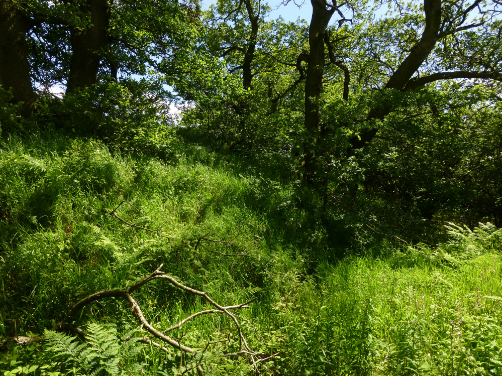
In the overgrown ditch of the southern section of the western defences.

The strong western rampart. Being essentially a very large promontory fort, defended by slopes on three sides, the level western approach needs the heftiest of the artificial defences.

The northern rampart is pretty overgrown in the summer.


The steeply sloping dry valley on the eastern side of the fort.


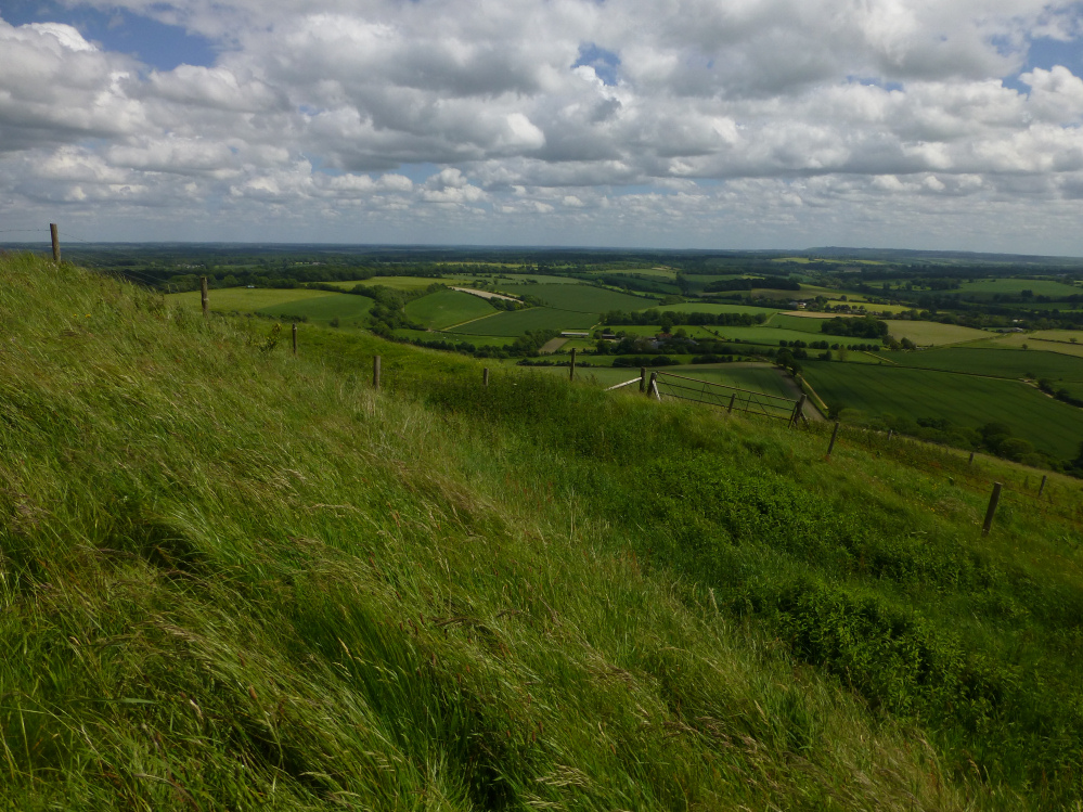
At the southeastern corner, probably the most impressive section of the defences, a decent earthwork above steep slopes.

The southern rampart. The lack of impressive earthworks is redressed by the natural defences of the steep slopes.

Unmistakable Adam’s Grave (centre) with Knap Hill to the right. See from the east near Giant’s Grave and Martinsell hillfort.

Big Wiltshire skies over Giant’s Grave.

Looking down on the site on the way back from Martinsell hillfort.