
The rampart from the outside.
Image credit: A. Brookes (8.6.2014)

The rampart from the outside.

Looking down on the northern part of the outer ditch.

The earthwork survives well.

Looking south along the rampart.
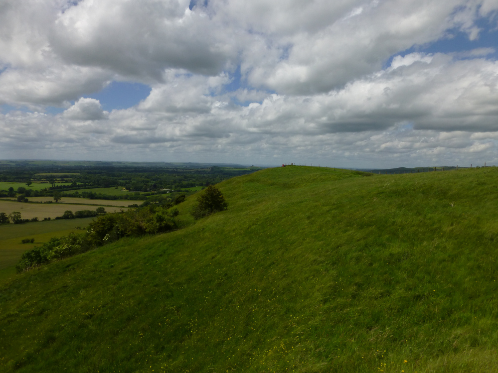
The southern flank of the promontory, with the Vale of Pewsey stretching away beyond.

The inner face of the rampart.

Looking across the interior from the western tip of the promontory towards the single rampart.

A very prominent promontory fort, this.

The low mound of the cairn is centre of image, lost somewhat in the vegetation. Looking towards the Senghenydd Ridge, covered with a succession of cairns.


Not the easiest monument to photograph, as it is very low and surrounded by tall reedy grasses. However, the northern arc can be seen curving across the left of the picture. The collapsed wall bisects the top of the cairn. Looking east.

Showing the small pieces of embedded stone in the larger cairn (see Misc. post). Looking south on Porth, in the Rhondda Fach valley.

Looking east. The dark hill on the right skyline is Cefn Eglwysian, with its own cairns and a speculative chambered tomb.

The larger cairn, looking across the Rhondda valleys towards Mynydd Ton.

The larger, possibly funerary cairn.


Representative example of the small clearance cairns at the site.

The cairn itself may not be the finest example, but it is a wonderful viewpoint.

Looking northwest towards the high ground of Craig y Llyn above the head of the Rhondda Fawr valley. The hillsides are dotted with many, many cairns.

Looking towards the distant Brecon Beacons.
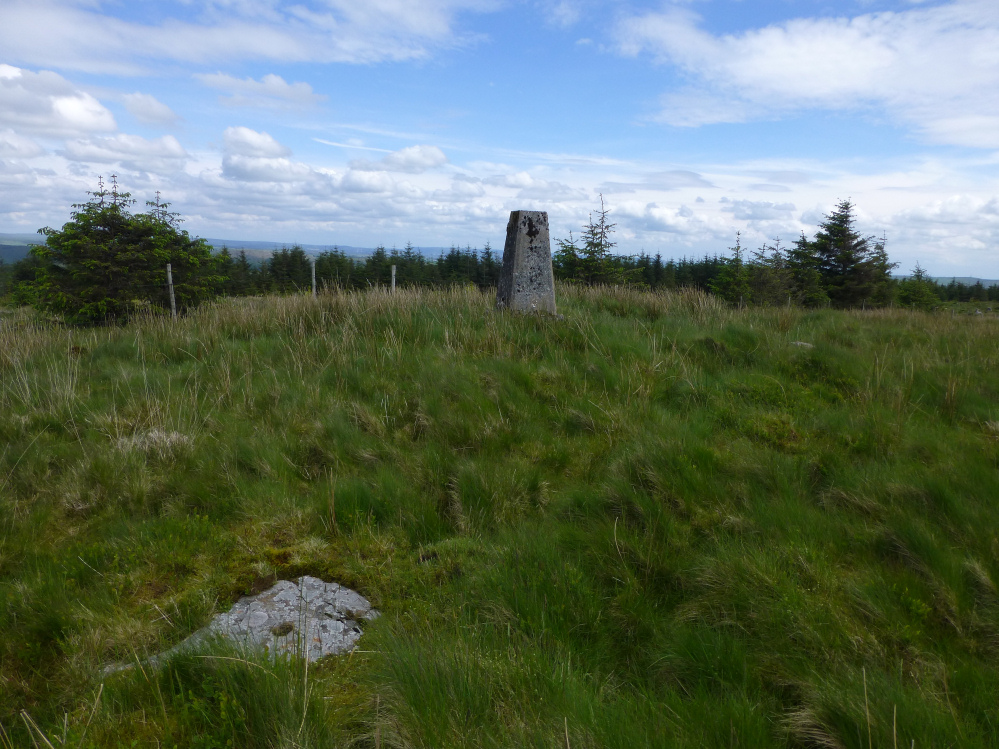
There are a few bits of exposed stone in the mound, although nothing sufficient to indicate anything structural like a cist or kerb.


How green is my valley? Tarren Maerdy seen across the Rhondda Fach valley from Craig y Gilwern. The two fine cairns are on the flat ridge above the steep scarp slope.


The summit cairn, its wide footprint overlain by the stupid shelter built from its stones.

Substantial spread of stonework in the footprint of the summit cairn. Looking towards prominent Mynydd Troed, Castell Dinas hillfort and the Y Grib ridge leading up to Waun Fach (right).

The substantial southern cairn. There is plentiful scree on this mountain to construct cairns from.

Looking SW from the southern cairn towards the Brecon Beacons.

The interior of the damaged southern cairn. Wonderful positioning right on the lip of the escarpment.

The rather good, if badly mutilated, southern cairn.

The NE cairn, looking towards Pen y Fan and Corn Du, with wooded Myarth in the middle distance.

The smaller cairn. There are some substantial slabs in the wreckage.

The smaller NE cairn. Looking towards Mynydd Troed.

The top of the huge but trashed SW cairn.

The ground falls away sharply from the cairns. There are plentiful standing stones in the valley below, and a long line of cairns along the ridge of Mynydd Llangorse, opposite.

Such a shame that the larger cairn has been so badly treated. It would have been a match for the two fine examples on nearby Pen Cerrig-calch.

The larger, but regrettably trashed SW cairn.

NW cairn silhouetted under localised cloud cover.

The NW cairn, looking towards the highest ridge of the Black Mountains, Waun Fach and (also be-cairned) Pen y Gadair Fawr.

The NW cairn, looking towards the Brecon Beacons.

Looking across the top of the SE cairn towards Pen-y-Fan and Corn Du.

Despite the sunny day in all directions, the top of Pen Cerrig-calch seemed to have attracted a stubborn cover of cloud. Looking across the Usk valley.

The impressive SE summit cairn, merging into – or out from – the band of scree below.


There are some fairly big blocks in the ring.

Looking towards the summit of Pen Cerrig-calch, drawing the cloud cover on an otherwise sunny day. The large SE summit cairn is just visible as a bump on the skyline.

Looking east. Table Mountain/Crug Hywel hillfort is not visible from the cairn.

Looking across the Usk valley towards Blorenge, with its own cairn. The Sugarloaf/Pen-y-Fal far left.

The ring is linked to a long, curving band of stones, presumably natural but – who knows? – perhaps arranged. It reminded me somewhat of a Dartmoor stone row, leading to a terminal cairn circle.
