
NE entrance grave in the foreground, with SW entrance grave behind.
Image credit: A. Brookes (20.6.2014)

NE entrance grave in the foreground, with SW entrance grave behind.

Looking across the chamber of the NE entrance grave to Porth Hellick Down where there are loads more chambered cairns.

Remains of exposed central chamber in the NE entrance grave.
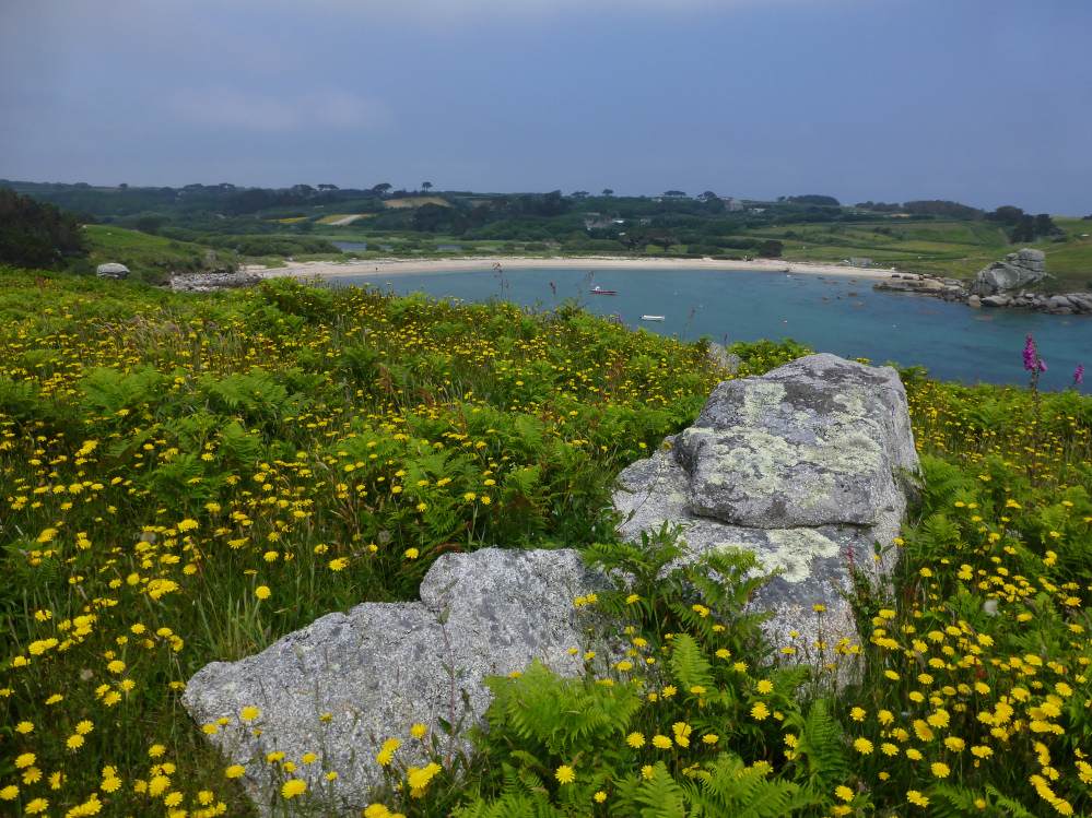
Remaining slabs of the roof of the SW entrance grave. Drum Rock can just be seen far left – on the green knoll behind it are two further chambered cairns, although difficult to find in summer.

Great kerb on the SW entrance grave.


The SW of a pair of entrance graves on Salakee Down, less overgrown than on our previous visit.

Drum Rock, a weathered granite boulder on Salakee Down, between the northern and southern pairs of chambered cairns, overlooking Porth Hellick.

The EH scheduling shows two chambered cairns north of Salakee Down at SV 92258 10732. The area is overgrown and it’s difficult to tell what are natural stones and what are parts of the cairns.

Great Arthur seen through a bit of gloom from the Scillonian ferry. Lots of cairns on a very tiny island.

Menawethan seen from the Scillonian ferry in less than great visibility. The cairn is at the eastern (right) end of the island. Access is prohibited during the Spring and Summer months to protect breeding birds.

Hazy morning, almost Midsummer. From Penzance harbour.

Looking southwest towards Penhale Point and Carter’s Rocks across the southern barrow.

The southern barrow, looking northeast.

The southern barrow. The scheduling record indicates that the irregular lump on the right is probably the remains of a fourth barrow.

The central barrow. Carter’s Rock beyond.

The central barrow occupies a great spot on the cliff edge, overlooking Holywell Bay. Penhale Point opposite has multivallate Iron Age defences.

The barely-there northern barrow, with Kelsey Head cliff castle beyond, far right.
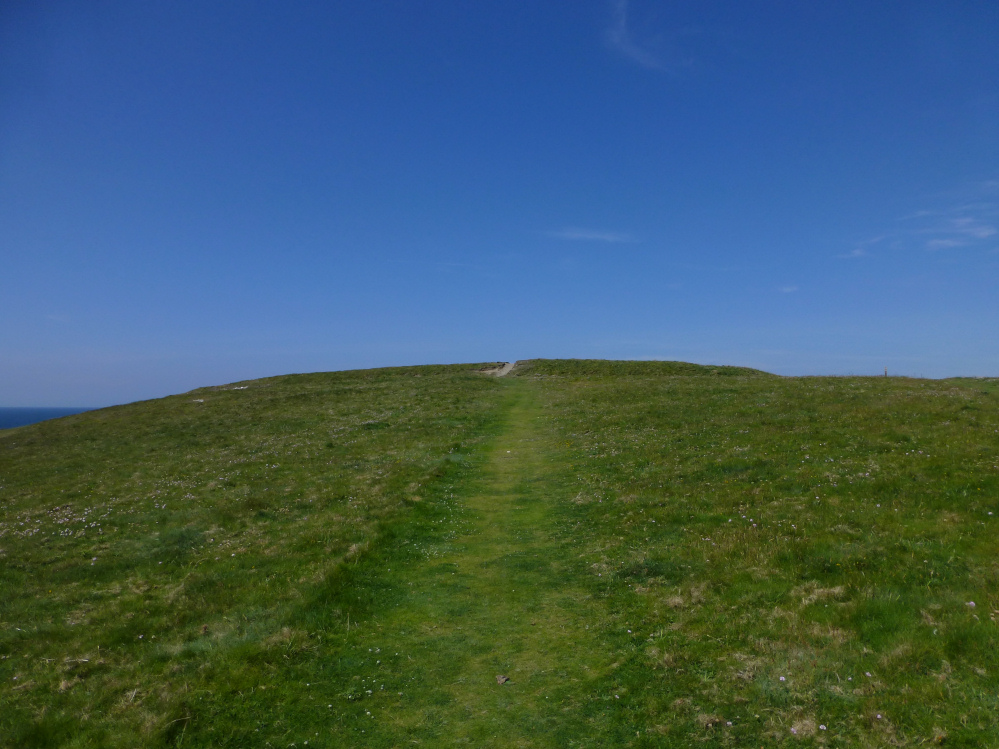
The fort from the southwest.

The ditch survives reasonably well, although it’s no longer very deep.

The eroded western end of the southern rampart.

The northern end of the rampart, looking NE towards distant Trevose/Dinas Head.

The ditch and bank of the eastern rampart of the main site.

The eastern site, overlooking Porth Joke towards Pentire Point West, one of the few headlands on this part of the Cornish coast to have neither Bronze Age barrows or Iron Age fortifications.

The Porth Joke defensive rampart, to the ESE of the main site.

The northern flank of the barrow, with striking natural outcrop below.

Quartz vein running through one of the stones in the kerb.

The barrow is very eroded, but has the remains of a retaining kerb of quite large blocks.

Pentire Point East barrow, looking down on Crantock Beach at the mouth of the River Gannel.

Pentire Point East barrow, prominently located on the highest point of the headland.


Pentire barrow enjoys a sweeping view down to Fistral Bay, then on north all the way to distant Trevose Head.

Pentire barrow, looking east towards Newquay. The base of the mound is rather wider than the uncut area on its top.

Pentire barrow, the easternmost of the group, now an island in a pitch’n’putt.

Barrowfields seen across Tolcarne Beach.


The SW barrow, the largest of the surviving monuments.

The NE and central barrows, with the low ENE mound over to the far left.

The central barrow, ignobly cut by the fencing of a putting green.

The central of the three scheduled barrows.


The NE of the three scheduled barrows.

The low ENE mound, highlighting the positions of other intervisible Bronze Age round barrows.

This small mound lies further ENE than the three larger scheduled barrows (the nearest of which can be seen far left). Given that there was originally an extensive cemetery on this headland, it seem likely that this is the remains of one of the other barrows.

Whipsiderry barrows seen from the SW.

The southern side of the fort, ramparts to the right.


The SW barrow, very decent despite the heavy erosion.

The route through the inner defences heads straight towards the SW round barrow.