Main Hall of Gorn mound with Laughton’s Knowe in background.
Image credit: wideford
Main Hall of Gorn mound with Laughton’s Knowe in background.

General view of mound.

Scarred side of mound.
Road side view 8.6.12
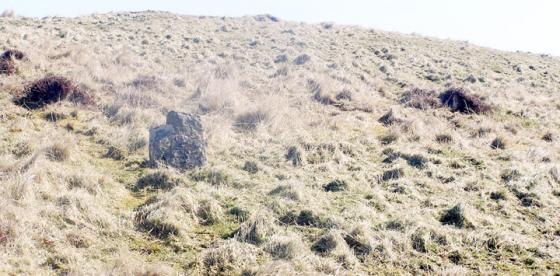
The barrow can be easily seen from the road as a large grass covered mound when heading north.
It is behind some farm buildings
Take the A961 for the South Isles past the Hunclett side road until the sign for Toab when you take B road. Where the road starts downhill the 1:25,000 has a MS symbol on the right and the Hall of Gorn is the unnamed group of buildings before that on the crest of the hill. The most direct route is the field boundary along its RH side. Though you can choose to clamber over the gate to the field you cannot with the field above the last building as the lower bars are only footholds from the outside.
The mound, with what is left of its reduced siblings, is in this walled field. It seems to me that the main mound is little dissimilar to Laughton’s Knowe in the open field, having a similar outline – a curved shield with a broad low ombos almost like a platform – though less well defined (it may only be apparent in some directions). There is now no sign of blackened earth, so apart from there being bigger chunks of bare soil on Laughton’s Knowe the composition looks broadly similar in being mostly turf-covered with earthfast boulders at various places in no obvious pattern. As with the knowe you naturally expect to gauge the depth of stones protruding through the turf by a slight pull, but when I tried this several of these, even the boulders, didn’t budge at all. Is these being earthfast evidence for structures within (or having been there once leastways).
HY40SE 2 consists of three barrows. The main one, at HY48370261, is a black earth and clay mound about 40x50’ by 5’6” from which came a long cist. A couple of decades later some kind of grave was found in one of the others. Their semi-circular remains at HY48400259 & HY48390257, about 8m across and roughly a metre high, are completely turf-covered.