Image Credit: Environment Agency copyright and/or database right 2015.
Image credit: Open Source Environment Agency LIDAR
Image Credit: Environment Agency copyright and/or database right 2015.


Inner defences from the ditch


The defences really are top drawer... looking down upon the very substantial outer bank from the inner.


A’top the inner rampart.... sometimes I feel that there’s only a thin veil demarcating past from present, you know


Outer defences to the left...

Outer bank from the ditch.


Looking down from the inner bank....

To approx south...

The Northern sector looking East.

The Northern sector looking West.

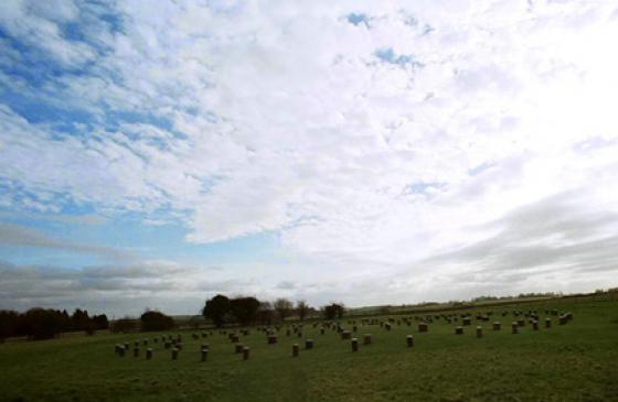
Taken from the Salisbury Rd to the West. The tree covered ramparts can be seen from miles around.
Visit 25.11.12
Time was against us as it was already starting to get dark and we still had a long way to travel but I just had to visit this site as it looked so accessible for a Hillfort.
We pulled in next to the field gate and stile / footpath sign.
The gang stayed in the car as I squelched my way through ankle deep mud and through the kissing gate. It is then a very short walk to the Hillfort.
It was no surprise that the ‘path’ was so muddy given the amount of rain we have had recently although it was nice for it to be dry at the moment.
The public footpath circles the perimeter of the Hillfort although the central section is private land – an open grass field.
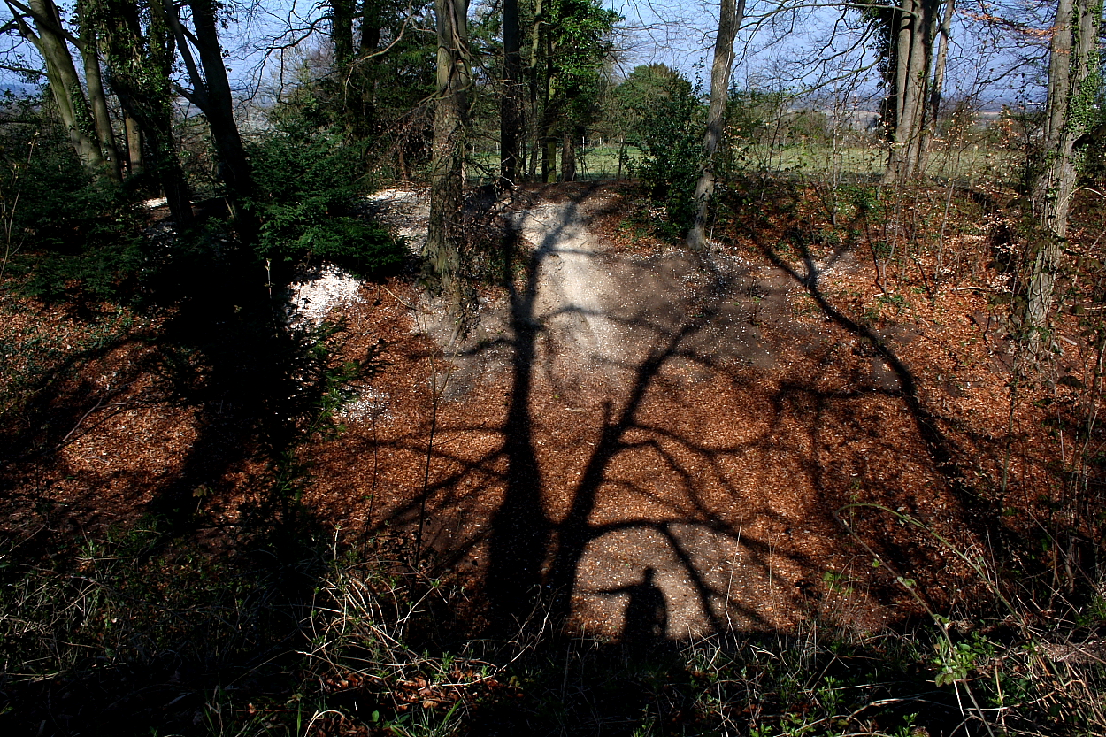
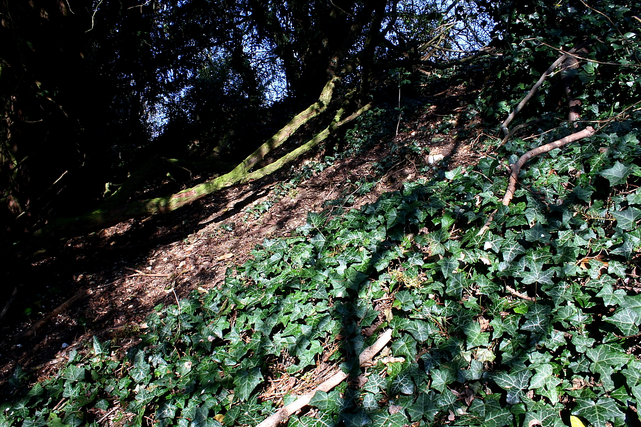
The Single rampart surrounding the site is totally overgrown with trees and bushes although it still stands a fair height – approx 3m high in places.
In all honesty there is not a lot to see here but if you are ever in the area and looking for a ‘easy to reach’ Hillfort then this is the place for you – just make sure you bring your wellies if it has been raining!
This is the most northerly of the series of Iron Age forts in this area, Danebury, Norsebury, Woolbury, that line the River Test.
The original slight univallate fort was later strengthened and given another entrance.
The banks and the ditch are in a fine state of preservation although fairly heavily wooded, the centre is grazed and private.
The site was used well into the Roman period and in the Battle of Andover in 1016 (King Canute v Edmond Ironside) it was used as Canute’s camp.
Access Parking available close to S. entrance, level, short walk to kissing gate. Parts of level inner walk have many tree roots and the ditch bottom can be rutted and wet.