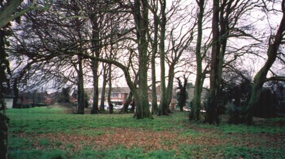
Looking W.
Image credit: Jimit 08.03.
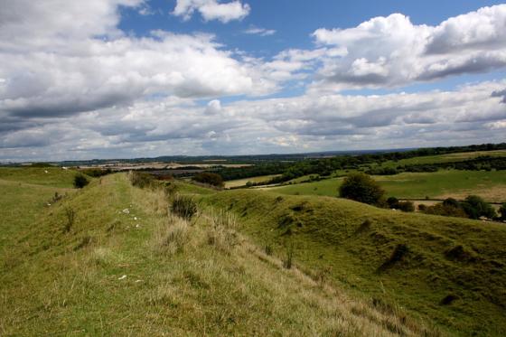
Looking W.

Looking SW.

Eat your heart out Van Gogh!
“Promontory Fort I.A. Relying on the rivers Test & Dever & marshland to protect other approaches. 1 entrance at centre”
Hampshire Treasures.
An interesting site as the area protected must heve been quite small if, as H.T. suggests, there was extensive marshland to the NE/S. I was expecting a bank but found that it was a pretty large ditch, in places aprox 6/7M below the crest of the W. bank with a berm on the E. side followed by a small bank. Not sure about the last as it seems too small to have had any defensive purpose and is probably just a field boundary.
Heavily wooded and with scrub so the entrance was not obvious. The N. end has been destroyed by the A303 but the S. end fades rapidly by the track with no obvious continuation to the River Dever.
Disabled: Parking close by or “drive by” on farm track but the site is seriously overgrown, see pics.