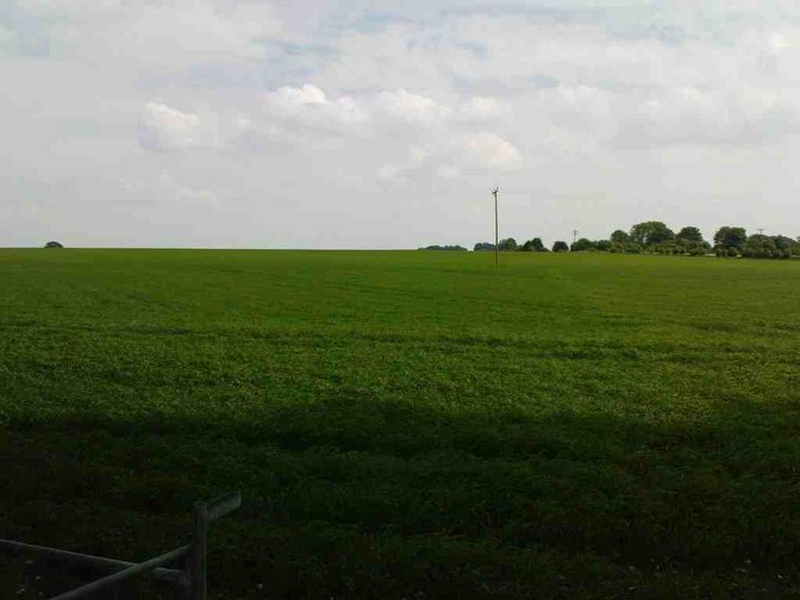
Details of barrows on Pastscape
‘A’ SU47003675. Bowl barrow, 21.0m in diameter, 0.3m high.
‘B’ SU 47063671. Comprises two shapeless, contiguous mounds with maximum height of 0.4m. According to Mr Grey, the tenant farmer, this feature has always taken this form though now much reduced by the plough. Probably twin bowl barrows, but AP’s do not help (RAF AP’s CPE/UK) 1842/4190-1) except to show they overlie lynchets of a Celtic field system.
During the last war the barrows were dug by an officer and men from HMS Ariel but nothing apparently was found. Discovered during field investigation: surveyed at 1:2500.
SU 471367. Bowl barrow. A shapeless mound 0.4m. high, possibly a twin barrow.
SU 472368. Possible long barrow indicated by two very clear parallel ditches on air photographs. Nothing visible on the surface. SU 47063671. Long barrow visible on the ground as two ill-defined mounds, greatly reduced by ploughing. The mound is rectangular in plan, about 52.0m long and 0.5m. high.
Long barrow partially excavated in 1986, and dimensions of flanking ditches recorded. A series of ‘quarries’ and an RB cremation burial also located. A rectangular hollow at the summit of the barrow is probably a relic of war-time excavations (see auth 1) SU 47043672. Earthwork and buried remains of a long barrow and a bowl barrow. The bowl barrow was incorporated into a later prehistoric field system and acts as a boundary marker at the top corner of two fields. Scheduled.


