The southern barrow.
Image credit: A. Brookes (7.9.2013)
The southern barrow.

The southern of the three barrows I found (2d), looking towards Morgan’s Hill.

Western barrow.

The western barrow, looking over the escarpment towards Calne.

The western of the three barrows I found (2a?). Looking towards Morgan’s Hill.

The northern arc of the bank surrounding the largest barrow. Cherhill village lies in shadow far below.

Looking over the largest barrow towards Morgan’s Hill, with its own barrows.

The dished centre of the largest barrow. Looking WNW towards Calne.

Detail of the bank of the largest barrow.

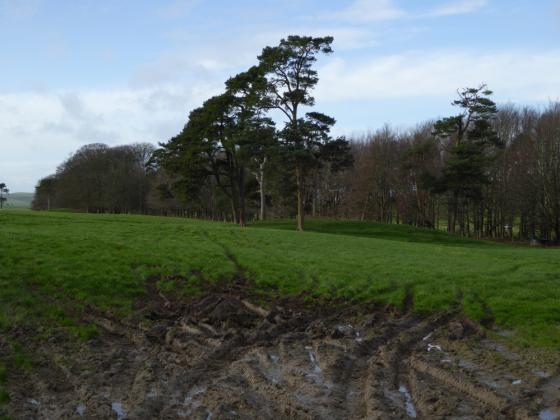
The largest of the three barrows I found, possibly 2c (or maybe the pond barrow?). Looking east towards Oldbury hillfort.
The Ordnance Survey 1/25000 (Explorer) shows four barrows on the western knoll of the Cherhill Down ridge, poised above steep slopes. Three are apparent on the ground.
Pastscape has the following:
Calne Without 2, 2a, 2b and 2d.
2 – SU 03836939 – a bowl barrow 27 x 1ft (’A’)
2a- SU 03846933 – a bowl barrow 24 x 1ft. (’B’)
2d- SU 03936924 – a bowl barrow 27 x 1ft (’C’)
2b- SU 03856937 – a saucer barrow 53ft x 1ft overall (’D’). (2)Calne Without 2a and 2d are small ditchless bowl barrows 0.6m high.
2b is a saucer barrow. The mound is 0.4m high and the bank 0.3m high.
‘E’ At SU 03936936 is a circular depression 1.7m deep surrounded by a bank 11.0m high. It has the appearance of a pond barrow but is not mentioned by Grinsell in V.C.H.Calne Without 2 cannot be traced but from its position on a steep chalk scarp it would seem unlikely to have been a barrow.
The Bronze Age round barrows described as Grinsell’s Calne Without 2a (`B’), 2b (`D’), and the pond barrow (`E’) are visible on aerial photographs. `B’ is visible as a mound and surrounding ditch with a diameter of 10m. `D’ is visible as a mound possibly surrounded by a ditch, surrounded by a ring bank which appears to have an external ditch and has an overall diameter of 10m.