Looking from Cefn Bryn to the approx south..
Image credit: Robert Gladstone
Looking from Cefn Bryn to the approx south..

Image Credit: Natural Resources Wales

The embers of the day...

Sometimes I wonder if the livelihoods of landowners and wellfare of our heritage is sometimes mutually incompatable? Really, I do.


Golden fleeces. Looking approx south across the south-eastern enclosure toward Cefn Bryn.

Western flank

South-eastern arc...

Northern defences, looking north.

Northern defences...

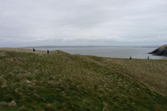
Eastern flank, looking approx north(ish). That’ll be Llanelli across the Afon Llwchwr (or Loughor, if you prefer).


A reasonably substantial bank isolates a small enclosure at the south-eastern end of the plateau.

The fort from the edge of extensive marshland to the north.

Highlighting the powerful ramparts encircling the hilltop.

Landscape context for this large fort (far right of picture). Seen from the west near Leason, looking along the North Gower coast with the Loughor estuary to the left.