
Looking towards the western cliffs of the fort, from the limestone foreshore below Deep Slade.
Image credit: A. Brookes (30.5.2016)
Looking towards the western cliffs of the fort, from the limestone foreshore below Deep Slade.

The view westwards towards Oxwich Bay and the cave-riddled East Cliff.

The fort is divided into two by a natural cliff in the limestone. The part of the interior on the west of the cliff is lower than the rest of the site.

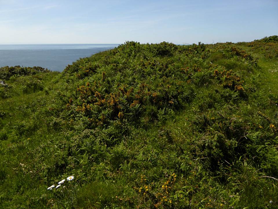
The interior.

Looking over the southeastern cliffs that provide natural defence.

Inner rampart.
This year’s growth of bracken and gorse starts to claim the ramparts.

Outer rampart, with inner rampart over on the far left.

The fort occupies the headland straight ahead. Beyond is East Cliff with its caves and Oxwich Bay.

Despite a couple of millennia of all the Gower coastal storms can throw at them... which is quite a lot, judging by our experience.... the Mam C shows that the defences of High Pennard cliff fort remain pretty decent. Well worth a visit.

Western flank from one of the cross banks... unfortunately can’t remember which.

Viewed from the west.


The impregnable western flank, toward Southgate.

I always find it somewhat humbling to think that folk actually used to occupy places like this.... call them ‘home’.

Size emphasised by the Mam C...

Quite substantial defences, to be fair.

The ‘fort occupies the vertigo-inducing cliff top... seen from Pwlldu Head to the approx SE.

High Pennard... a suitable location for a cliff-fort. Viewed approaching from Hunts Farm to the NW (apologies – as usual – for the lens splodge).

Hut circle inside the fort.

The view from the fort interior over the eastern cliffs.

The inner rampart.

The outer rampart.

The outer rampart, looking northwest.

View of the fort from the landward side.

The landscape setting of the cliff fort (far right, on the clifftop). Looking west towards Oxwich Point. The hill on the right skyline is Cefn Bryn, location of numerous cairns and the wonderful Maen Ceti tomb.
Visited 11.10.13
Directions:
See directions for Caswell Cliff Fort.
Continue west along the coastal path, past the picturesque Brandy Cove, the large pebble beach off Pwlldu Bay and up onto Pwlldu Head. It took me about 1 hour to walk from Caswell Bay to the fort.
This stretch of coastal path is wonderful with a varied landscape and obvious fantastic coastal views. You do need to take care however, as sections of the path are very close to the edge of the cliff and you are no more than a step away from a ‘half day out with the undertaker’ – as the late great Fred Dibnah used to say.
Pwlldu Head can be seen from a fair distance away as it is the highest point along this part of the coast. Although the path up to it isn’t overly demanding. On the way you pass what looks to be an old lime kiln. I startled a young fox that was enjoying the sunshine on the path between the gorse.
The centre of the fort is now a roughly oval field. Along the northern side of the field, under the hedgerow is a small earthen/stone bank.
Are these part of the remains of the northern defences?
I would recommend a visit for the walk and coastal views but not for much of the archaeology remains.


