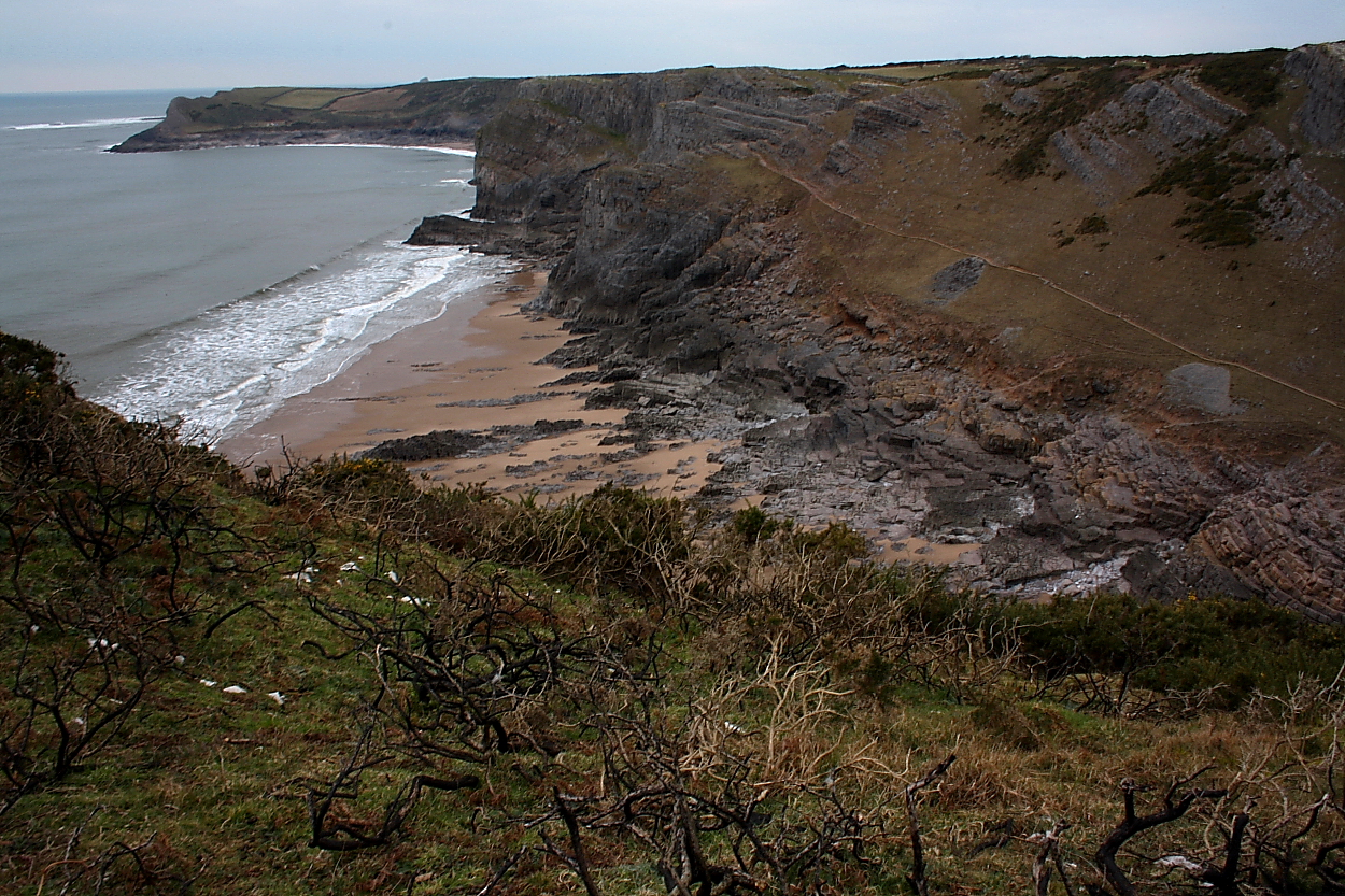
Mewslade Bay from the fort...
Image credit: Robert Gladstone
Mewslade Bay from the fort...


The Mam C and I counted 3 cross-ramparts.... but then our Maths was never the best. This is but one.

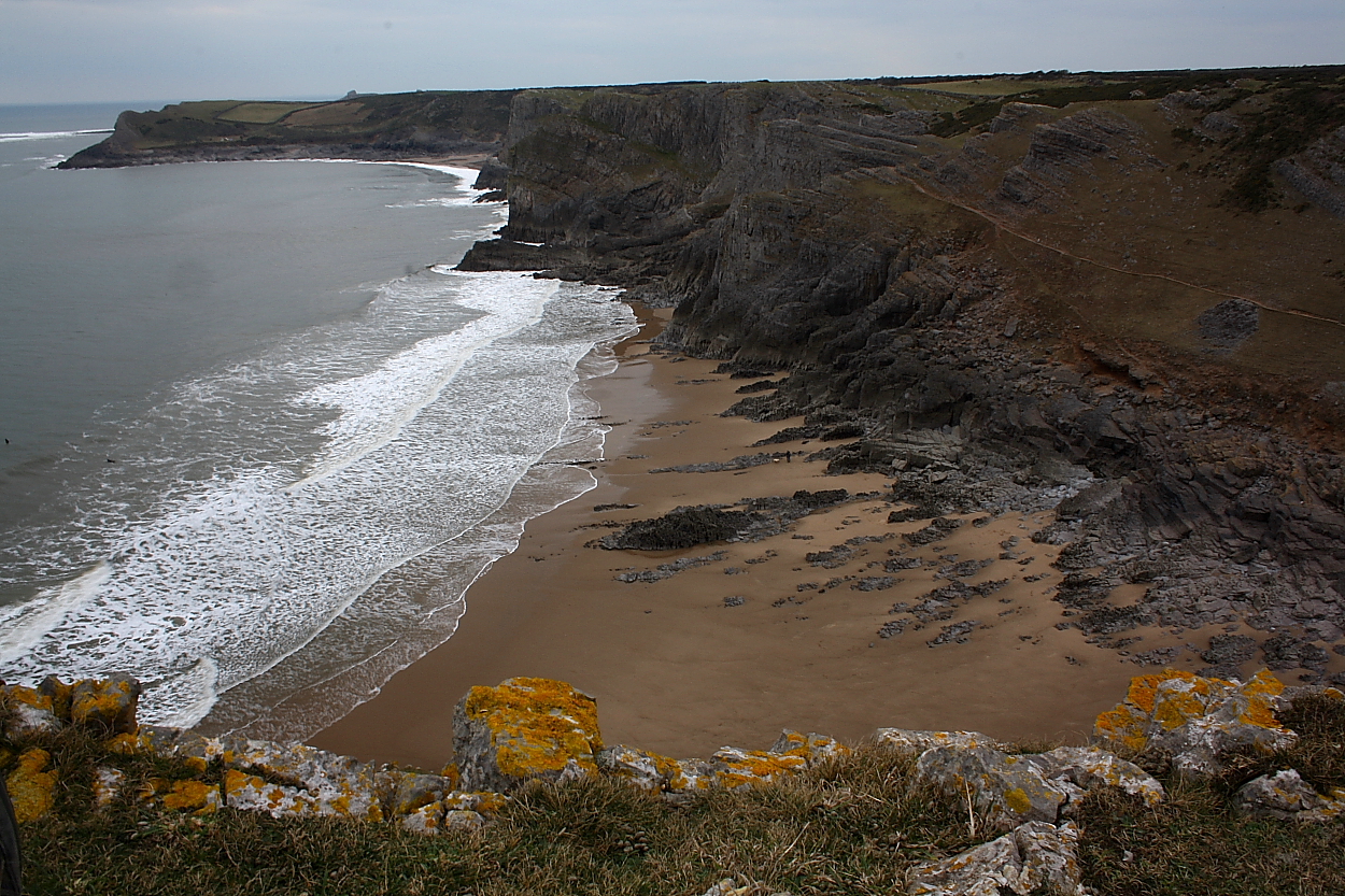
Looking eastward along the coast toward the famous Paviland Cave in the far distance (I think).


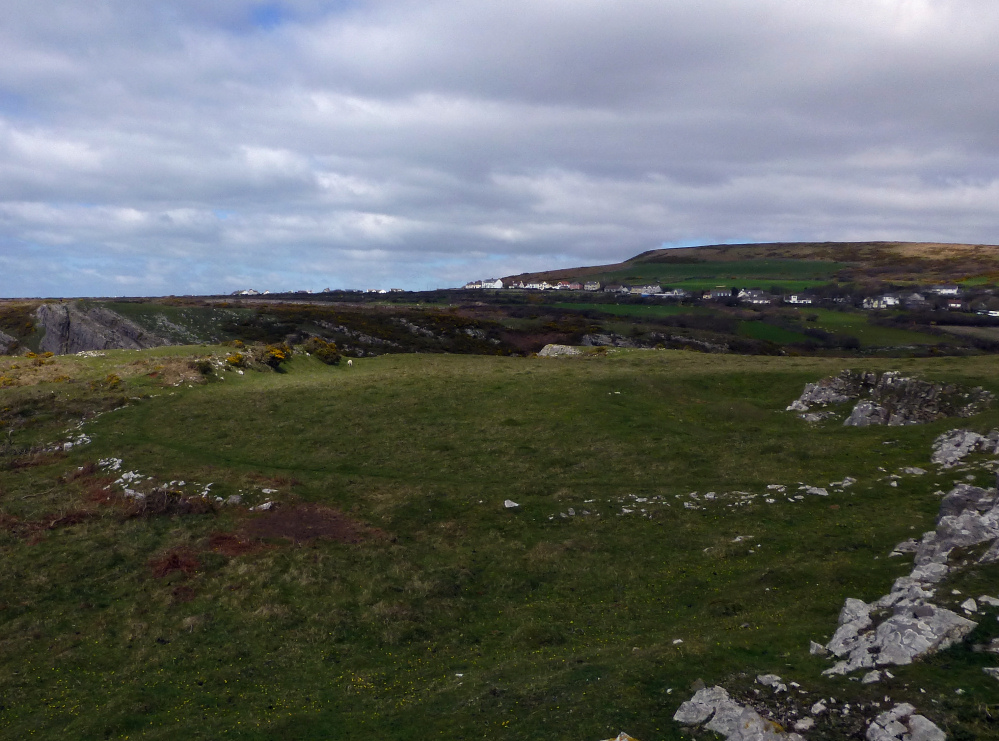
Fort interior....


Across Mewslade Bay approaching from the west Note that one must lose a lot of height... and quickly regain it.... if following the cliff line! The ‘fort occupies the central ‘table’ part of the ridge.

Thurba Camp from the east.
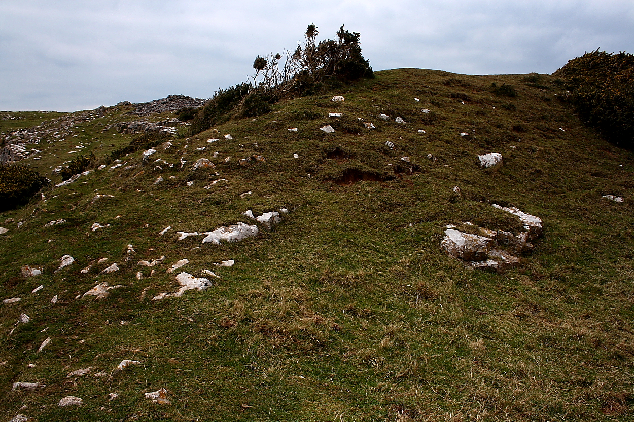
We came across this wide circular feature to the east of Thurba Camp. There’s nothing on Coflien or Archwilio.

Outer rampart.

Fort interior from outer rampart.

Stone built rampart.

Exposed limestone in the fort interior.

The tip of the promontory from the inner bank. G/F provides scale.

Looking down into Mewslade, the valley to the west of the fort. Rhossili Down rises beyond.
Not the easiest means of approach. The fort occupies the cliff top.

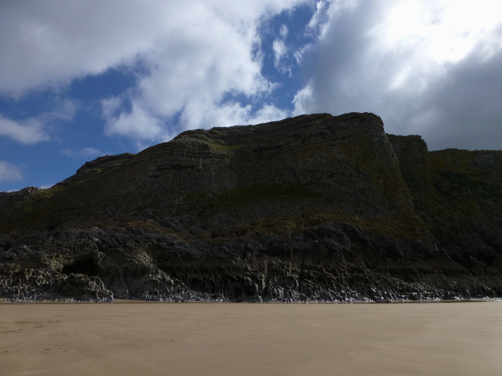
Thurba Camp from below – low tide, Mewslade Bay.

Sheep and lamb give scale to the middle rampart.

The outer rampart seen from outside the fort. The end of the middle rampart can be seen far left.

The Mam C emphasises the extent of the settlement area perched upon another cross bank.


Much more substantial defences than nearby Lewes Castle.

Detail of the SE end of the second bank.

Stony scatter of the inner bank.

Looking southeast along the inner bank.

The second bank.

A recent fire has burnt the gorse back from the outer bank, exposing some of the stonework. Looking towards Rhossili Down.

The stone-faced outer bank.
Visited 30.9.13
Directions:
From the main Rhossili visitor’s car park follow the coastal path south west past the N.T. shop and coastguard station and then east towards Port Einon. You will know when you get to Thurba as there is a little N.T. sign telling you so!
The fort itself is a short distance south west of the main coastal path – on a headland.
I counted 3 defensive banks – the outer two being approximately 2m at their highest (when standing in the ditch) and the inner bank approximately 1m high.
In places you can easily see how the banks were constructed of stone
As you would expect there are great coastal views to be had.
Well worth a quick stop-off when walking the coastal path from Rhossili.
Coflein site includes several aerial photos of the fort.
Thurba Camp is a defensive complex set about a central enclosure c.50m by 40m perched on an irregular coastal promontory, defined by precipitous cliffs except where a stone-faced wall/rampart faces NE across the promontory isthmus, with two widely spaced lines of bank & ditch beyond , the outer having a c.90m frontage.
Up to seven circular structures have been noted associated with the central enclosure, although the site as a whole is obscurred by lime workings.


