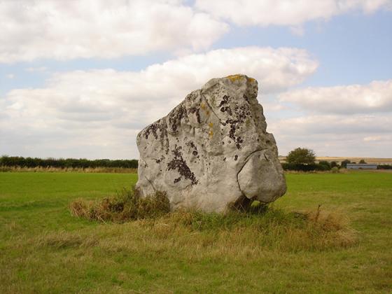
Looking along the low earthwork near the Knoll Down end, towards Oldbury hillfort on the skyline.
Image credit: A. Brookes (7.9.2013)
Looking along the low earthwork near the Knoll Down end, towards Oldbury hillfort on the skyline.
Details of earthwork on Pastscape
Linear earthwork of presumed later prehistoric date, comprising an earthwork bank and ditch, running roughly east-west from Knoll Down towards White Horse Plantation. Three sections are the subject of two schedulings.
A generally well preserved, grass covered, linear boundary bank and ditch (erroneously described by Crawford (a) as the Old Bath Road – this feature is published and described on OS 25” about 100.0m to the N – extending almost continuously for 2320m in a NW-SE direction, from SU 05106958 to SU 07366918 along the S side of a dry valley in which are vestiges of Field Systems (see SU 06 NE 98, 123) A gap in the linear of some 200.0m occurs between SU 06976945 and SU 07136932 where its
continuity is represented by crop marks and a parish boundary. The earthwork has an average width of 12.0m with a flat-topped bank up to 7.0m wide and 1.2m high, but considerably reduced on the S facing scarp where it passes through arable and a ditch up to 1.0m deep on the higher side. At its N end the bank and ditch has been utilised and overlaid by a probable Md or later sheep penning (see SU 06 NE 50), and at its eastern extremity, the S side of the bank partially overlies the outer bank of a saucer barrow (see SU 06 NE 48). It seems most probable that the linear represents a LBA/EIA ranch type boundary. Published 1:2500 survey revised. (1) The possible prehistoric linear earthwork has also been mapped from air photographs. (2)