Details of site on Pastscape
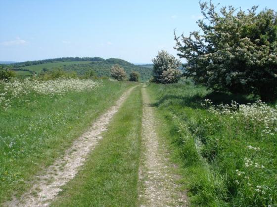
A mound on Granham Hill has been suggested to be a possible long barrow. It is 76 metres long, 13 metres wide, and up to 2.3 metres high at the eastern end and 3.1 metres high at the western end. It has suffered damage from the presence of a parish boundary ditch, a hollow way, and ploughing. No side ditches can be observed on the ground. Ordnance Survey field investigation in 1974 suggests that while its orientation, general appearance and proportion mark it out as a likely long barrow, the fact that the western end is taller casts doubt on this classification. However, a westerly-orientated long barrow would hardly be unheard of.
(SU 17976797) A possible long barrow marked by O Meyrick on Granham Hill. (1)
A mound 76.0m long, 13.0m wide rising from a height of 2.3m at the E to 3.1m at the W; it is composed of earth and flints, covered by very old trees, and is situated just below the crest of a N
facing slope. The feature is cut along the spine by an old parish boundary ditch, to the S of which all trace of the mound appears to be completely ploughed out. At its W end there is a 0.6m deep scarp extending N which suggests that this side of the mound has been constructed by scarping; a side ditch is not evident. Material has been removed from the E end of the mound, possibly for repair to the hollow-way which skirts its eastern extremity. In spite of its orientation, general appearance and proportion, the fact that the west end is higher than the east does cast some doubt on its classification as a long barrow. Surveyed at 1:2500. (2)