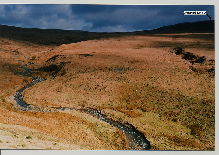
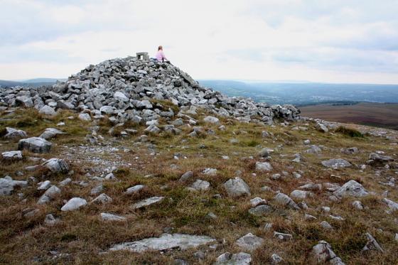
North of Brynamman, the A4069 ascends to a bwlch, Rhiw Wen, across the western shoulder of Mynydd Du, before descending sharply to the fertile Tywi valley beyond. As it does so it passes above and to the west of Cwm Garw, through which flows the tumbling Nant Garw. The eastern bank of this river is the site of a prehistoric domestic settlement, below and to the south west of Garreg Lwyd (itself crowned by a Bronze Age barrow). It is a bleak, hostile, yet beguiling location. According to Coflein it is:
‘A settlement comprising a number of hut circles, a larger enclosure (possibly also a hut circle) and a wandering wall are located at 310m above O.D. on SW-facing gently sloping open moorland, E of Nant Garw.
SN72331657: the remains of a hut circle defined by two crescent-shaped lines of limestone blocks protruding 0.3m high above the turf, overall it 5.7m (N-S) by 5.2m.
SN72311654: an enclosure measuring 11.5m in overall diameter bounded by a stony bank 2m wide and 0.4m high. There is an entrance gap 1.8m wide on the E. From the N flanking bank there runs a stony bank 50m long, 2.5m wide and 0.3m high.
SN72361657: at the end of the bank above another hut circle measuring 7m in overall diameter, its wall spread to 1.5m wide and 0.3m high; there is an entrance gap on the NW, 1.5m wide.
SN72391656: hut circle 6.5m in overall diameter, slightly platformed on its E side and elsewhere bounded by a stony bank 1.5m wide and up to 0.3m high.
SN72351654: possible hut circle, 8m in overall diameter bounded by a stony bank 1.5m wide and 0.3m high; there are narrow entrance gaps on the W and E sides.
A possible further hut circle lies at SN72391664, in the form of a penannular bank, open on the E. Around this group are scattered some less well-defined features, perhaps of more recent date – short lengths of bank, a U-shaped structure and spreads of rubble’.