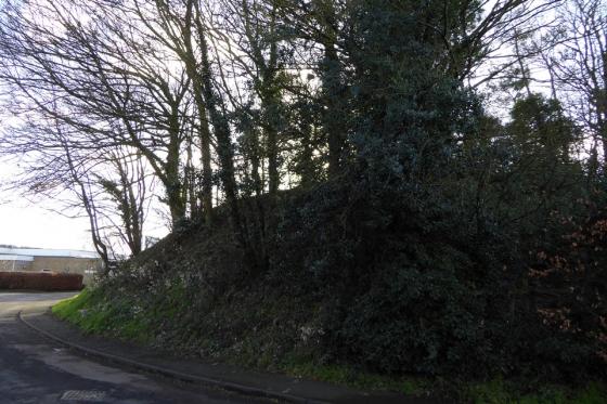
Garway Hill is a prominent skyline feature from St Weonards Tump a few miles to the east.

Garway Hill is a prominent skyline feature from St Weonards Tump a few miles to the east.


Garway Hill, the prominent hill on the skyline (at least I hope it is!). The viewpoint is the Cat’s Back ridge on Black Hill to the west.

Very overgrown...


Taken stood on one of the ramparts

The enclosure.. i know the picture’s not great but I wasn’t sure what it was (there was no sign at the time)

On the sign at the hill.
A warning- if walking up on the hill with a dog keep it under control- there are sheep and ponies loose (sometimes with lambs and foals!)
Folklore associated with the White Rocks on Garway Hill:
“These boulders, some of Whetstone* proportions, lie scattered in a little valley near the top of Garway Hill, where they were dropped by the Devil. The story is that ‘The Devil was helping Jack [O’Kent, a local wizard] to stop up the weir, at Orcop Hill, in order to make a fishpool. But as the Devil was coming over Garway Hill, his apron strings broke, and down fell all the stones he was carrying. Then the cock crew, and he had to go home, so there are the stones to this day.’”
From “Stone Spotting in Herefordshire” – Jonathan Sant (2000 Moondial), quoting “Folk-lore of Herefordshire” – E. M. Leather (1912).
A very obliging Devil who helps make fishpools. And a pretty poor one who has to go home when the cock crows. Perhaps his mum had his breakfast ready? Mind you, this seems to be a very common occurence – a search of TMA for “Devil’s Lap” produces numerous similar tales of broken apron strings and dropped stones. A bad workman always blames his tools (or his sweat-shop made clothes), eh?
*The Whetstone is natural boulder on Hergest Ridge near Kington, which also has associated folklore.
From “Herefordshire Register of Countryside Treasures”(1981 H&WCC):
“Earthwork, Garway
Possible remains of a long barrow, or camp, with a rectangular enclosure surrounded by a bank. There is no other information available about this site. It is similar to the earthwork on Little Mountain, Radnorshire.”
The Herefordshire SMR record is similarly vague:


