|
     
|

|
 
|
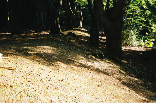
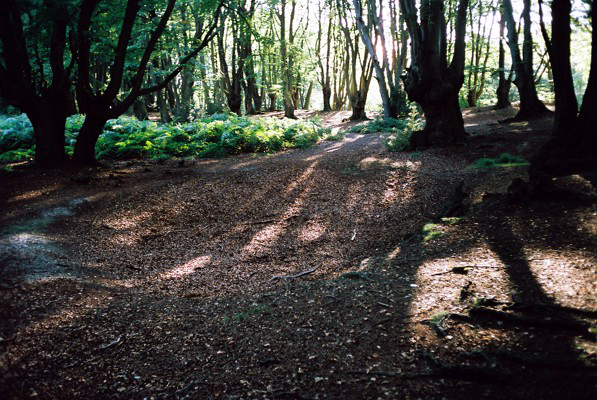
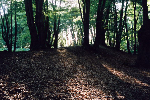
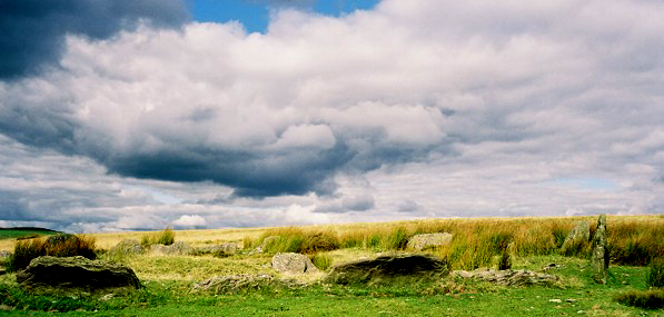
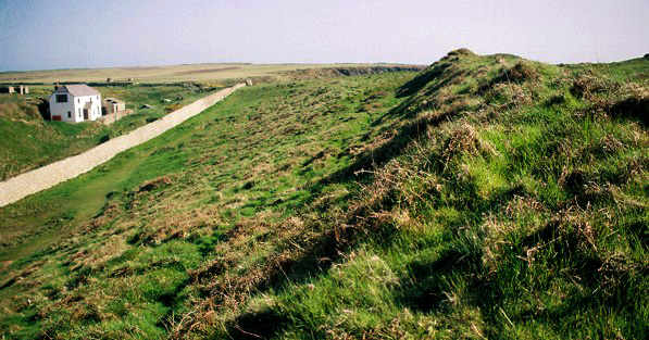
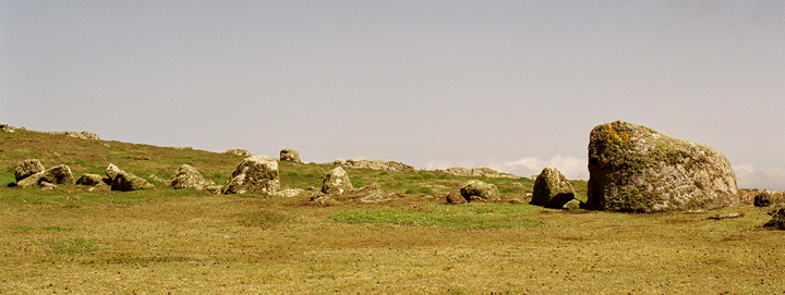
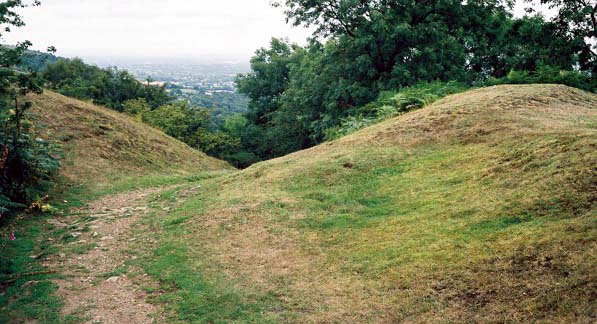
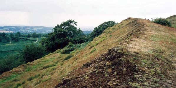
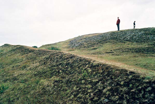
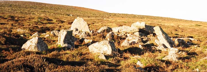
Deer Park - Promontory Fort
Period - Iron Age
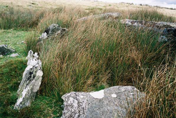
A line of defences, c.286m in length, cut off a large, cliff-girt promontory (very roughly 520mx400m): the defences serve to enhance the slopes of a N-S valley that defines the promontory area on it's E, landward side; to the S there is a bank and dirch, whilst to the N the rampart merges with the natural slopes; two entrances are noted, one, slightly inturned, c.65m from the S cliff, the other, immediately N of the cliff, appears to open into a regular enclosure, c.72mx32m, divided into two roughly equal areas, that may represent a contemporary settlement or relate to the deer park that was later intended to occupy the area of the fort.
Source: Royal Commision AHM Wales, J.Wiles 15.09.03
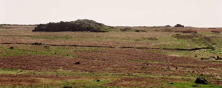
The deer park is bounded by a stone wall built around 1800 by the family of Lord Kensington of St Brides. So far is known, the deer park was never populated with deer.
It is said the deer park could be seen to control access to the Skomer archepeligo. This is easy to see why, the views across to Skomer Island are stunning and there is extensive bird, animal and fish life which makes the trip even more worthwhile.
|

|
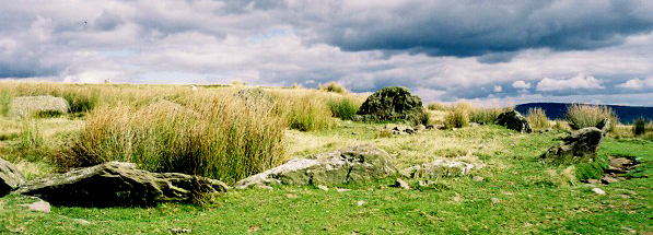
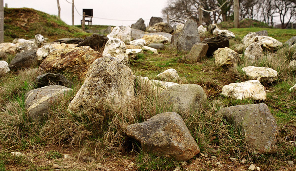
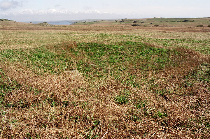
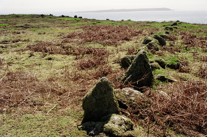
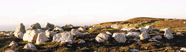
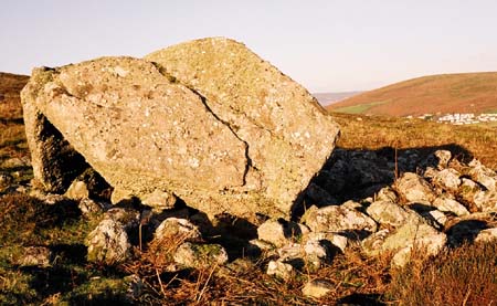
Skomer Island was farmed during the prehistoric period and the physical remains of field systems with cultivation marks, enclosures, clearance cairns, huts, dams and even settlements, survive more-or-less undisturbed in this peripheral area, which occupies nearly two-thirds of the island. The remains cannot be closely dated but Evans noted that 'nothing like the arrangement of the fields or the shape of the huts is known from the Roman or later periods' and ascribed to the features to a date-range from the neolithic to the iron age periods. Their exceptional survival is due to the fact that though the island was rented for the seasonal depasturing of cattle during the middle ages, and was rented annually for £4 7s in the 16th century, there appears to have been little permanent settlement until the 18th century when the present farm was established in the central part of the island.
Sources: Dyfed Wildlife Trust n.d.; Evans 1986; Evans 1990
|
     
|
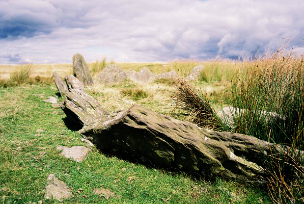
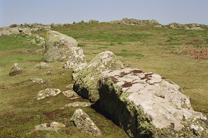
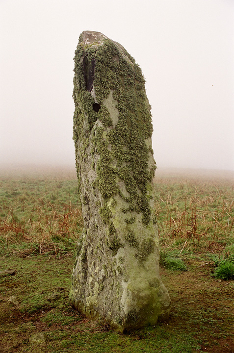
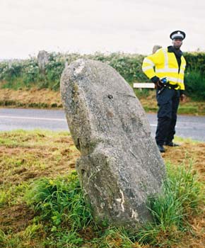
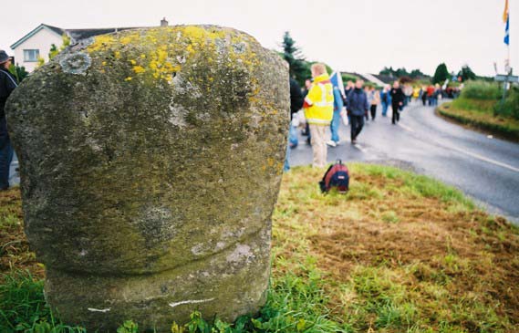
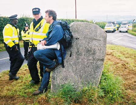
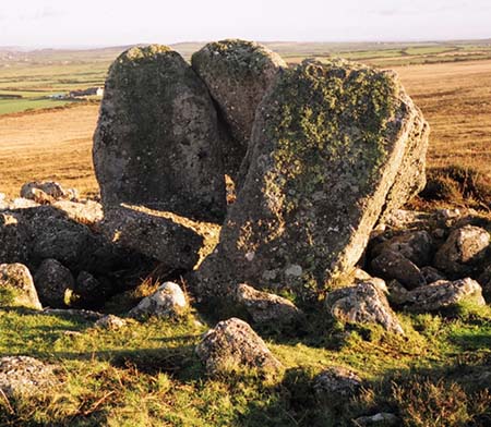
Harold Stone, Skomer
Period: Unknown
An erect monolith, 1.7m high by 0.8 by 0.5m: one of several stones in SW Wales bearing the same name, which seems to derive from Gerald of Wales, who said that the stones were erected by Earl Harold to commemorate his victories over the Welsh in 1063: the relation between this stone and the extensive settlement remains on the island is unclear.
Source: J Wiles 23.05.02 Royal Commision AHM Wales
Whether ancient or not, it certainly is enigmatic on a foggy day!
|

|
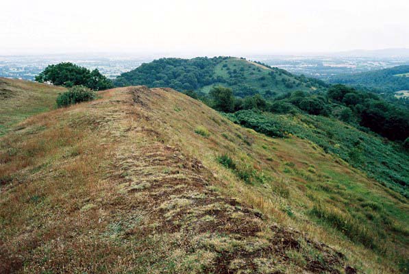
From Shire Archaeology's excellent Hillforts of England and Wales book by James Dyer.
"Rectangular four-poster huts, some measuring 2.4 by 3.6 metres, apeeared at at Credenhill and Midsummer Hill in the fourth century BC. Most of the latter fort's 12 hectare site was filled with them. S.C. Stanford has used the probable number of huts to estimate the total population of all the Herefordshire hillforts in the mid fourth century BC. This could have been about 25,000, with perhaps 18,000 in the neighbouring Shropshire forts."
You get great views of British Camp from this hillfort and wonder what the relationship was between these two contour hillforts. When entering the fort, which is approached from the Worcestershire Way, take the small path running East which can be easily overlooked. Carry on walking past the enterance and enjoy the amazing views all around the Malverns. The ramparts are impressive and use the contour of the hill as part of its defence/structure(?).
We walked there whilst at the Big Chill festival which is only a mile or so away. If you know it, walk up the Art Trail and carry on past the Obelisk and then to a gate which leads up to the hillfort.
|
   
|
  
|
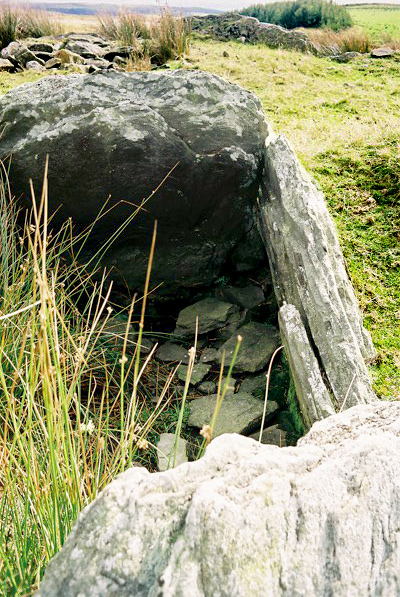
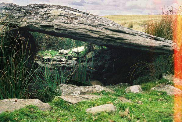
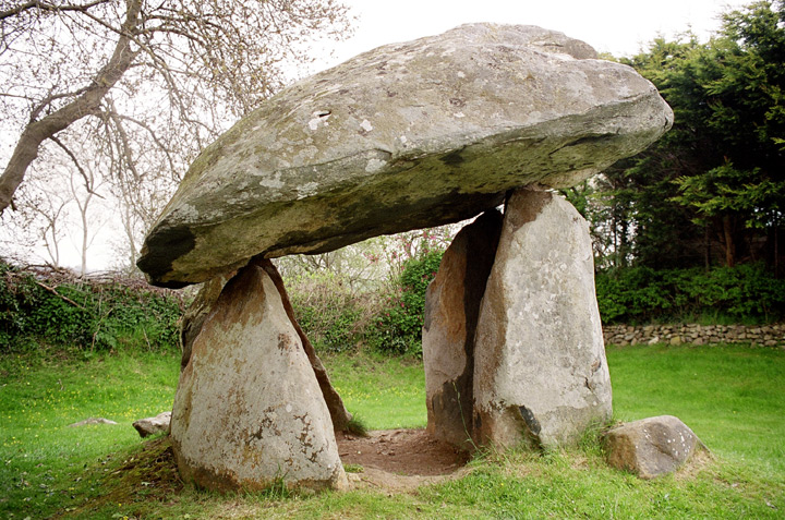
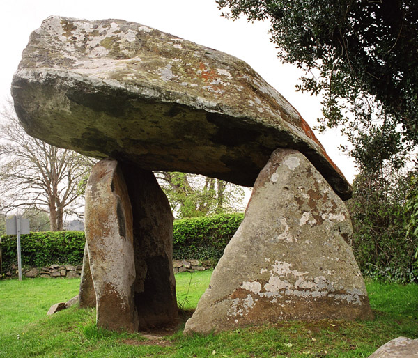
When we visited this burial chamber we took a bus from Swansea to Reynoldston village (just down Road). Anyway talking to the driver he said that people have called it Arthur's Stone mistakenly. Apparantley it used to be known as the 'Arth' Stone, 'arth' meaning 'bear' in Welsh. He also said that the chamber has an allignment with the great bear constellation and this is the reason for the name.
I do not know if it is alligned to the great bear or not but it would be interseting to find out. It is intresting that the burial chamber is kind of 'bear' like. It has a massive cap stone like a big body with these small stumpy legs!
|
| |