I arrive gone 1pm.... but then again wouldn't have arrived at all - suffering a complete alternator failure upon the M1 - if not for the consumate skills of RAC mechanic Dave Perry.... so thanks Dave. The job was a good 'un. Anyway, loathe to waste the fantastic autumnal light, I take a leaf out of Kammer's 'book' and finally head for Disgwylfa Fawr... 'Disgwylfa' apparently translating as 'Watching Place'. Hey, how cool is that? 'Bid me farewell, fair maid with the snow white swan neck.... since I must leave you now and seek my destiny at the mystical Watching Place... I may not return'. Well, hopefully not the last bit.
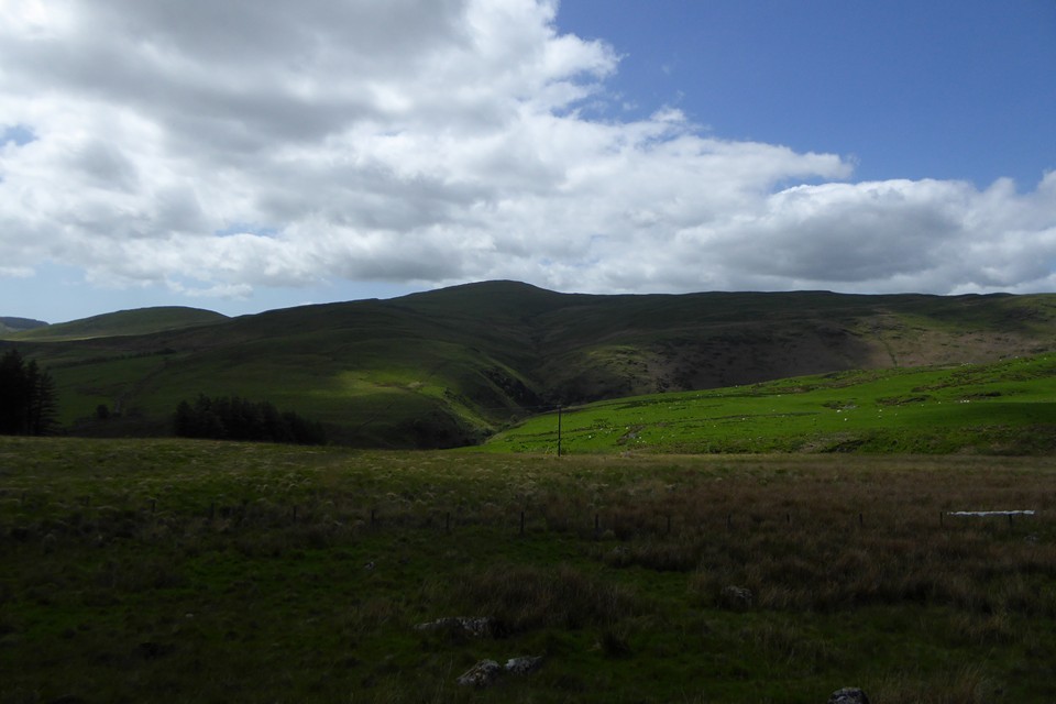
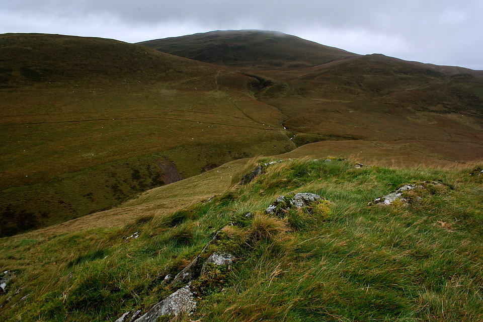
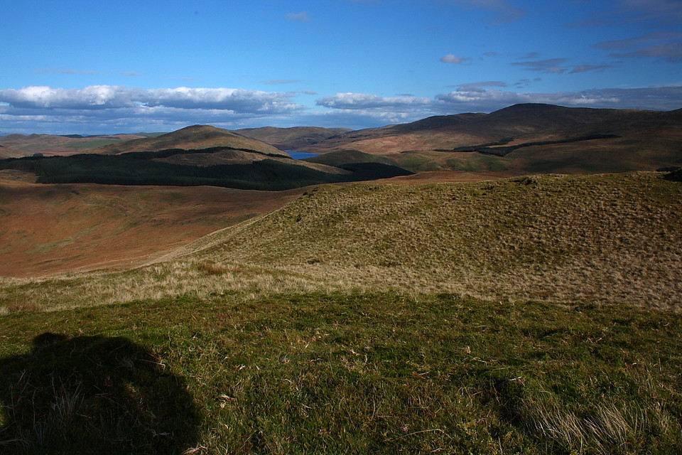
An approach from the west seems the best bet in the circumstances, the minor road from Ponterwyd (not the one signposted 'Nant-y-Moch', but that climbing above the western bank of the Rheidol) passing a trio of worthwhile ancient sites en-route.... Dinas hillfort, Nant Geifaes and the Buwch a'r Llo standing stones. Having seen these last month I actually manage to complete the journey and park at the sharp hair-pin bend north of Llyn Blaenmelindwr. A forestry track (a public right of way) veers right a short distance down the Llyn Syfydrin access road, a subsequent (signposted) left turn duly emerging from the trees with Disgwylfa Fawr visible upon the eastern horizon. I follow a fence line to descend a very boggy hill side and cross the Nant Glan-dwr via, as I recall, a plank bridge. So, no wet feet, then. Nice. I toil up past the ruins of Syfydrin - nursing a cold I'm not in the best of nick, to be fair - and begin the final ascent.
Suddenly a bloody 'tally ho' horn shatters the silence and the reason for numerous 'farmer types' patrolling the area with binoculars becomes clear.... what I assume to be a group of 'sabs' stand a little below to the south. Of course there are two sides to every story, but suffice to say I have no respect whatsoever for the morality of any person who thinks hunting an animal to its death in the name of 'fun' is a legitimate occupation. I'm conscious numerous eyes are probably fixed upon me, wondering what the hell I'm doing here... but then again is this not 'The Watching Place?' Apparently so.
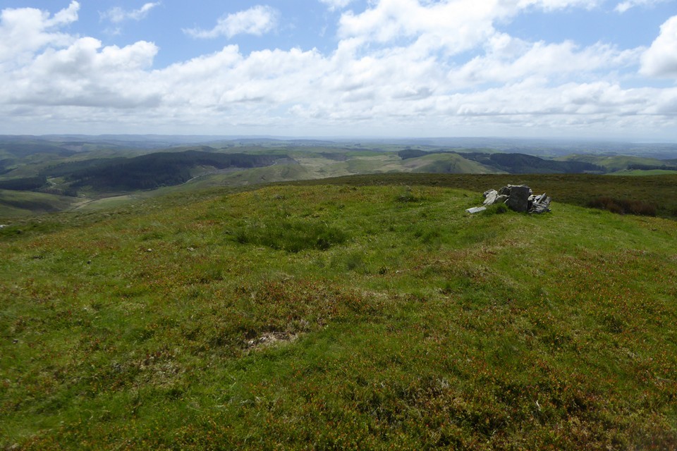
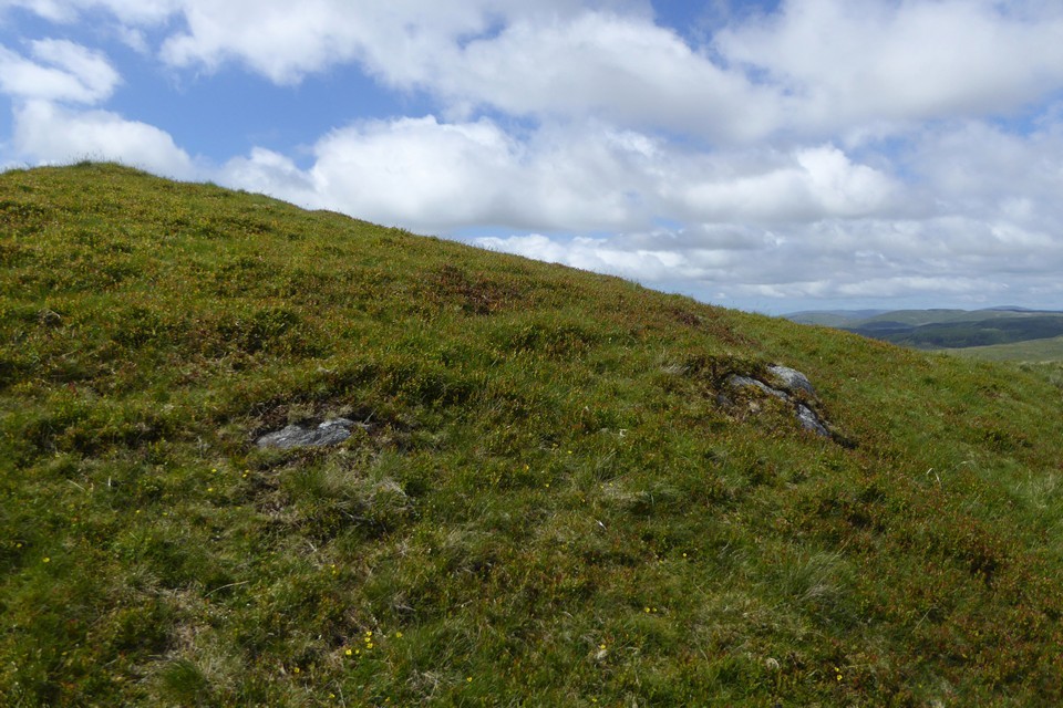
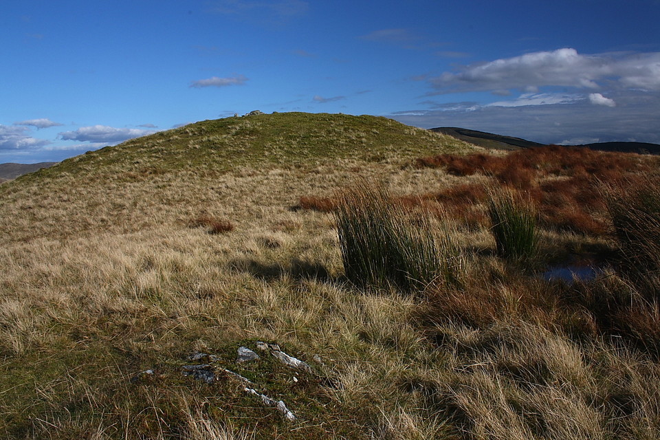
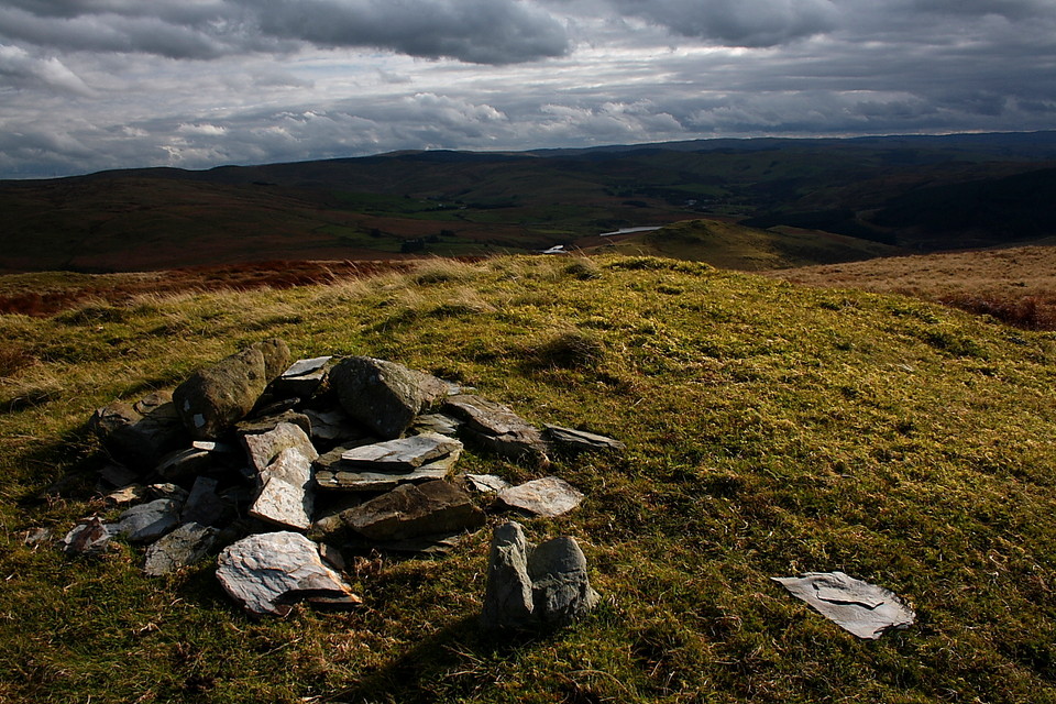
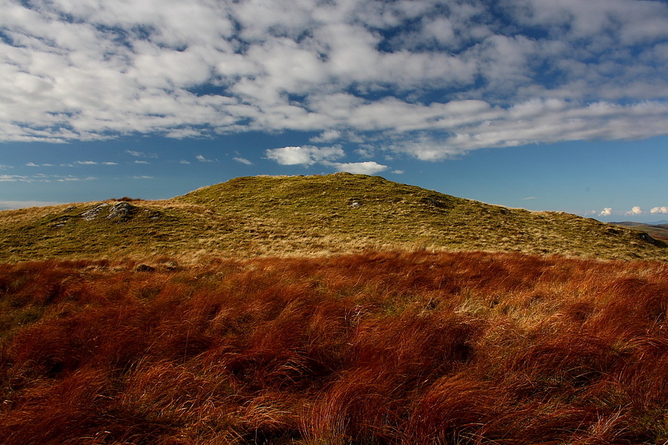
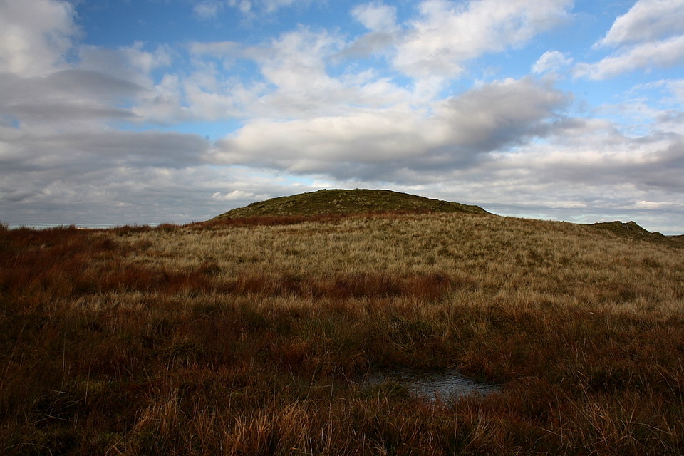
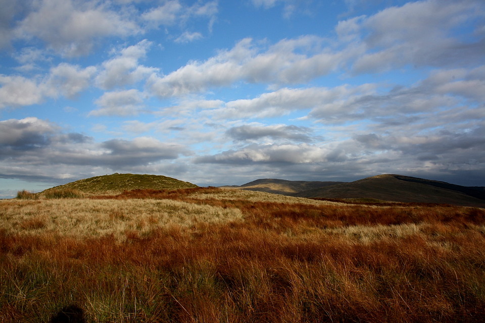
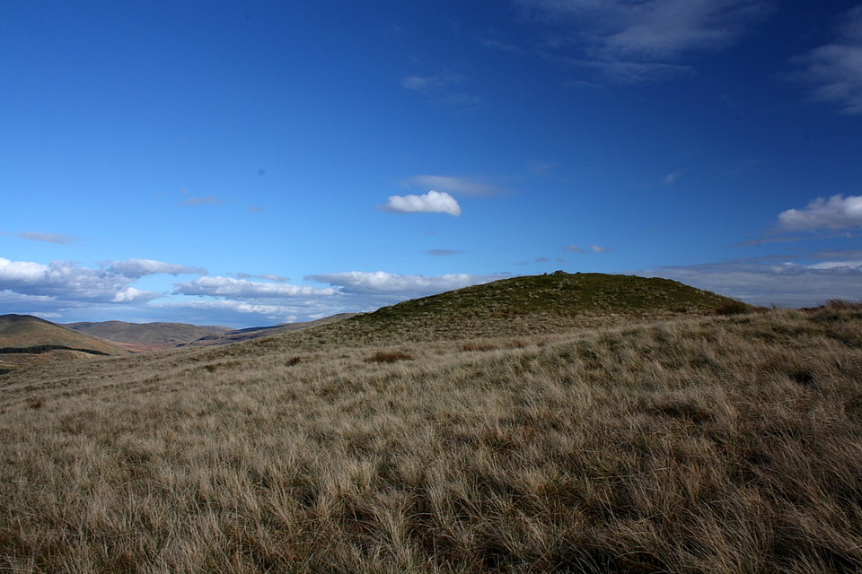
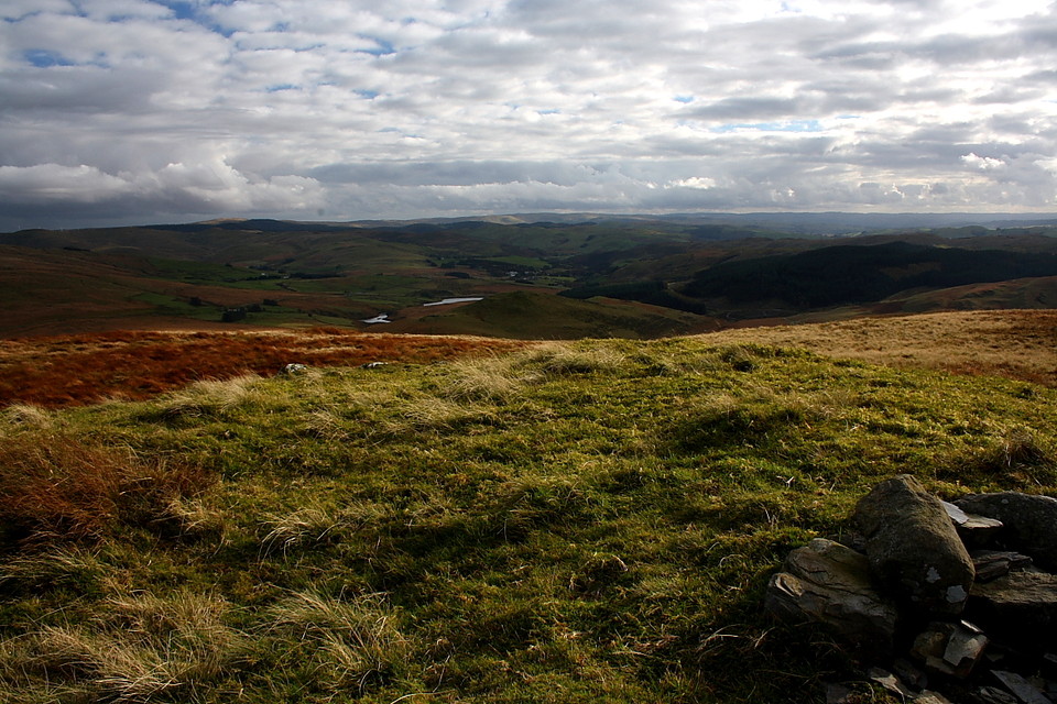
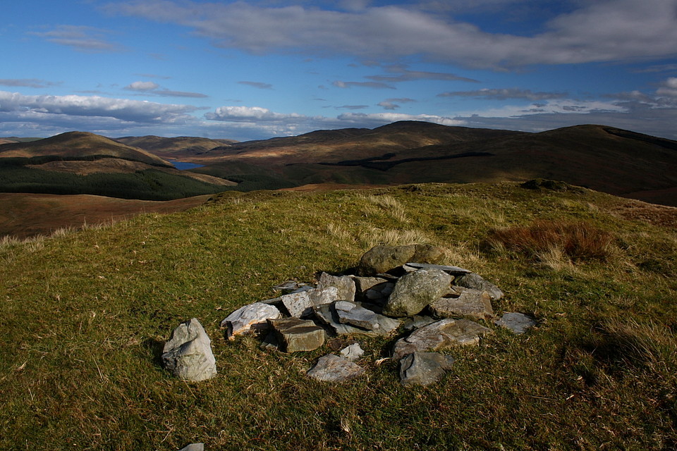
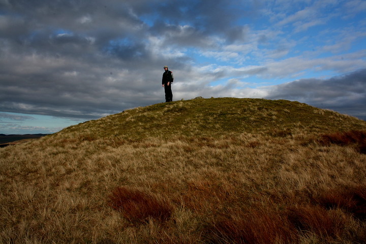
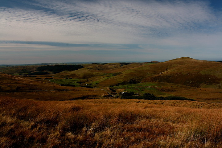
Not before time I arrive at the summit; only 1,663ft (507m) but it seemed much more! A large round cairn - albeit looking more like a grassy round barrow - crowns the top. I always find it difficult to judge relative heights, but thankfully the conditions are benign enough to allow a scale photo. Yeah, this is a substantial monument. As Kammer before me notes, the centre of the cairn bears a slight depression, no doubt the result of the 1937 excavation. Then I recall what was actually discovered within this monument back then.... two dug-out 'canoes' with associated funerary remains (see the misc post). Whaa the? Dug-out canoes? Up here ?!? Yeah, apparently so... or at least what remained of them... with published Bronze Age radio carbon dates to boot. I gaze at the 360 degree vista and suddenly feel I've gained a fleeting insight into something very important ideed. What is it about Pumlumon and its (apparent) association with water? This is 'The Watching Place', alright.
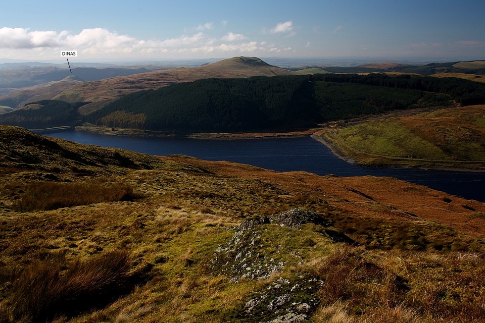
Pendinas hillfort stands sentinel above Aberystwyth to the west, the point in the landscape where one great Welsh river completes its journey to the coast. Another, the Afon Rheidol is viewed at a much more nascent stage, linking the Nant-y-Moch and Dinas reservoirs below to the approx south-east..... hey, perhaps the very water course our Bronze Age 'sailor dudes' went a'fishing in/upon their cool canoes... sans reservoirs, naturally. Unless the whole thing was symbolic? (Presumably) a little further along the proverbial time line the locals fortified and occupied the crag of Dinas, perhaps to control the natural passage through the mountains. The mind reels, it really does. North-east rises Pen Pumlumon-Fawr and the rest of the central Pumlumon massif, massive complementary cairns surmounting every top. Clearly height was not the primary consideration since Disgwylfa Fawr's monument is by no means peripheral. Pumlumon is more or less devoid of inhabitants now, just a couple of farms with attendant cairn circles in the back garden.... the usual. By all accounts, however, the evidence would suggest it was not always this way.
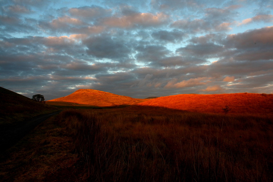
Failing light announces that I must leave. All is quiet down below with no 'mighty hunters' to be seen... assuming there were any in the first place. If so, with any luck Reynard gave them the run around. No need for his mate 'Stanley'. Furthermore I discover that somehow I left my storm jacket in the car (a rather poor error, to be fair). Pumlumon, however, was kind to me today, not least with its weather, concluding the day by bathing the Buwch a'r Llo stones in exquiste light. Needless to say I have to pause for a while.... it would be rude not to after She's gone to all that trouble.
Visited 22/01/11: Walked to Disgwylfa Fawr from a parking spot next to Llyn Syfydrin to the west. This is the shortest & simplest route up (my friend's 7 year old daughter had no trouble with it).
I'm embarrassed to say this was my first time up Disgwylfa Fawr and it's hard to imagine why it's taken me so long to make the journey. The cairn is large and earth-covered with an indentation in the top, presumably from excavation. It's a nice lump the stand on and the views of the surrounding peaks are splendid (especially Pumlumon and Dinas). Well worth a visit.
The NMR record (available through Coflein) describes Disgwylfa Fawr and the notorious canoe type things that were found inside it:
Cairn upon the summit of Disgwylfa Fawr, c.20m in diameter & 3.0m high: trenching, in 1937, reported a ring of slab-stones within the body of the mound, within which were found two dugout tree-trunks of oak, 2.4-2.7m & 1.08m long, these subsequently yielded radio-carbon datescentring on 1910BC & 1350BC respectively; within the smaller dugout were cremated human bones, a flint blade & a ceramic vessel, covered by an animal skin.
The author of this text is the venerable Stephen Briggs.


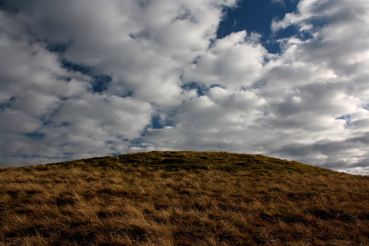
 Artistic / Interpretive:
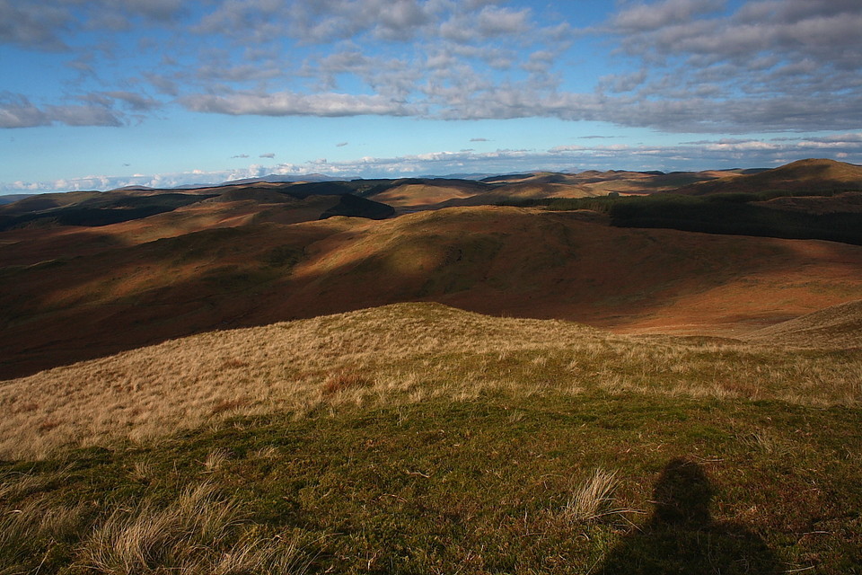
 Posted by GLADMAN
 Posted by Kammer