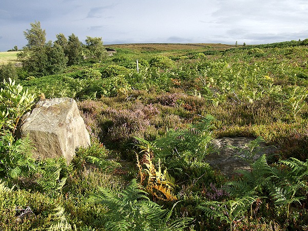
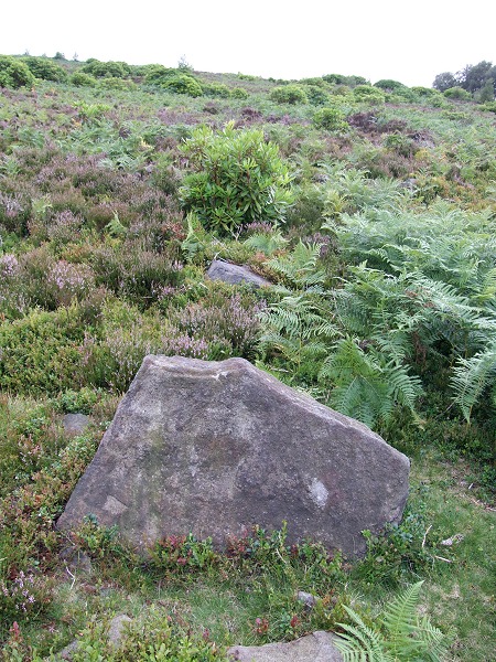
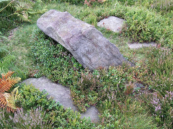
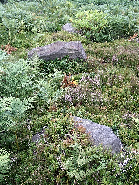
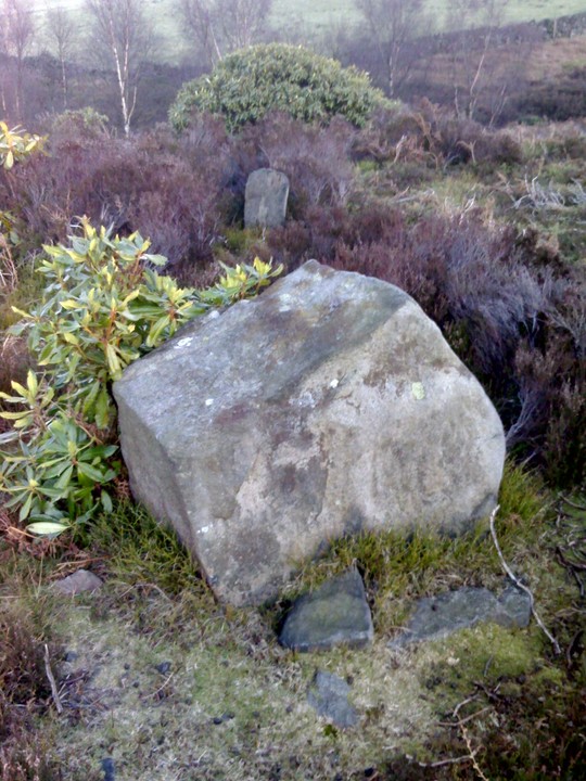
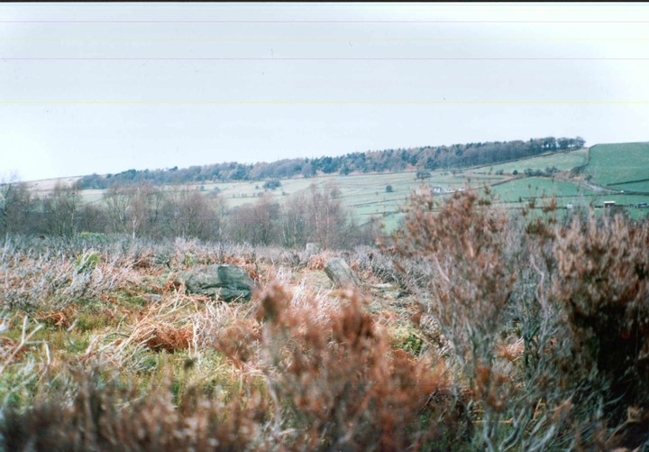
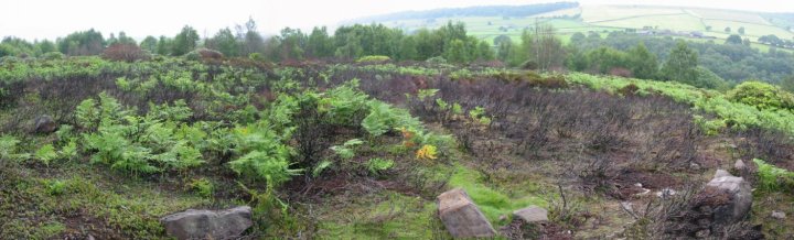
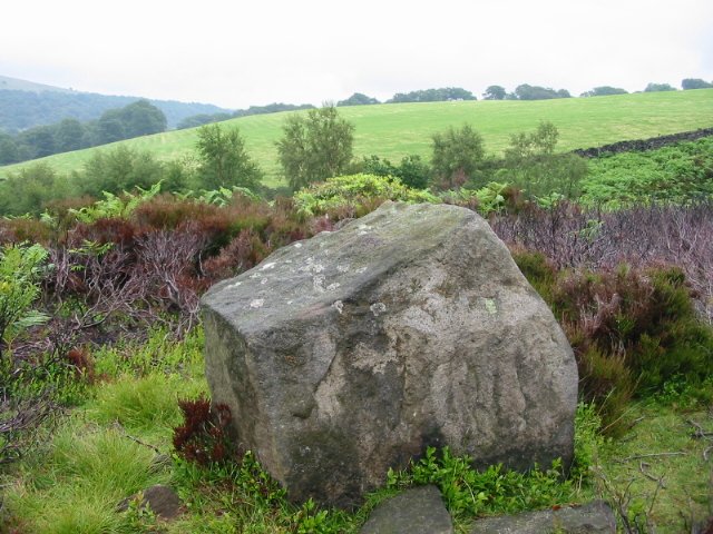
I wasn't expecting much from this site but was pleasantly surprised. Set on a gently northeast facing slope framed by Ewden Beck to the north and one of its tributaries to the east English Heritage record this as being a ring cairn rather than a stone circle. It's difficult to tell exactly what it is as it's quite overgrown and rooting around in the bracken and heather turns up many half buried small stones that formed part of a bank which the Morgans reckon is about 2-3 metres wide, the whole circle having a diameter of about 20 metres. There are 4 or 5 largish boulders that could be said to be standing together with a few slab like fallen stones, the rest of the larger stones are towards the northern, northeastern and southeastern edges of the ring while those to the west seem to be mainly packing material from the bank. I'm sure there are many more stones that I missed. The northern entrance seems well defined but I couldn't quite decide which stones formed the southern entrance although what could be a fallen slab outlier could provide a clue.
The site has some decent views from the northwest round to the southeast but it's the Salter Hills to the east that really draw the eye. There's also a few interestingly named places close by - Stone Moor, Bolsterstone, Midhopestones and the wonderfully quaint Wigtwizzle.
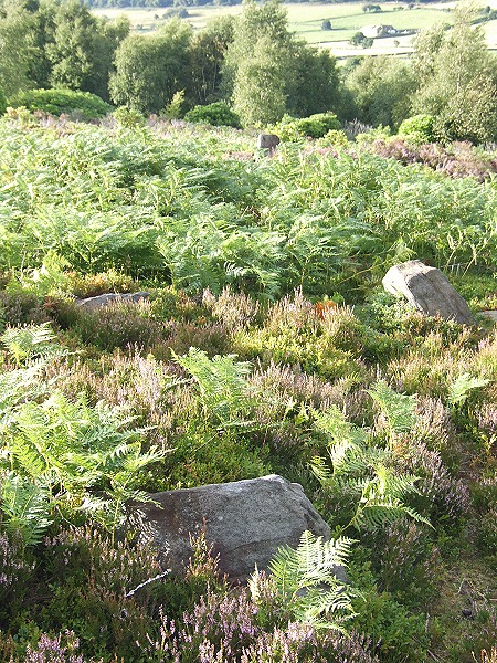
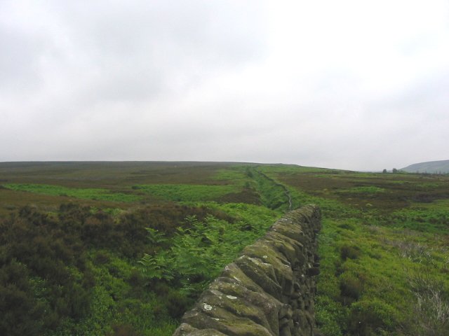
This is the third time that I have visited this site and the first time that I have actually found it. It quite excited me as it has been a quest. To get there you follow the mettled path. Today I had to pass hundreds of bee-hives as currently someone is making a venture out of honey. The track runs directly at the circle but veers off as a stream is reached. Directly after the stream is an obvious path off to the right but there is also a less obvious path to the right of that, through bracken etc.. Head for the 7' tall stake and you will then be at the SSE entrance. There is an entrance on the exact opposite of the circle. This circle appear to be built on a rubble ring with several large stone still standing and more lying flat.
I would urge other more experienced antiquarians to visit this site as I believe ther may be a possible avenue leading upto the circle following th line of the path between it and the circle. There are two outliers in a line with the SSE entrance just five yards out, but there are also a pair of stones in the same alignment adjacent to the silver birch trees to the SSE. See what you think. A great site if omnly because it has taken me so long to find it.
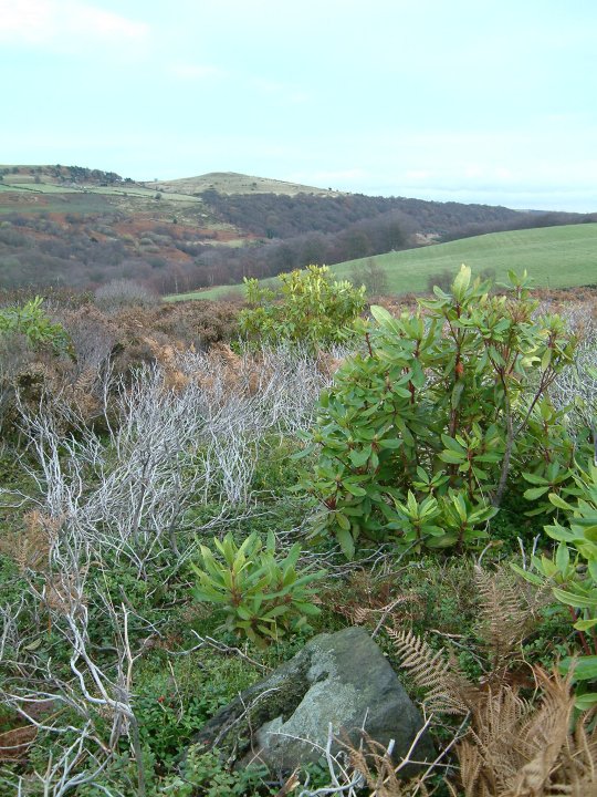
Having the benefit of little heather due to burning, there appears to be many suspicious standing stones here. Being new to the game of looking for stone circles, I first spotted standing stones to the left, just before the bridlepath bends to the left. There is also what looked to me like a circle with several large stones to the left after the bridge. I then walked down the little footpath and found what I thought was the circle to the left, right on the edge of the copse. I am still not convinced that I saw what actually is the circle. Perhaps someone else can help.
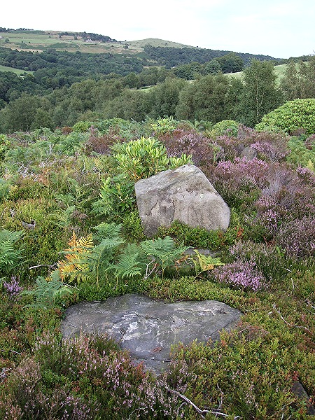
I have been interested in this area recently. The circle is rather odd, the position seems strange by most local examples, it is rather pushed away low down by steep ground that falls away into the nearby beck. What could be rather more interesting is the earthworks close by. It seem to encompass the circle. The question is are the two related? There are other examples in the Peak District of monuments being in proximity to earthworks. This seems to be an open area for investigation. Is this another area like Gardoms Edge?
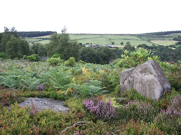
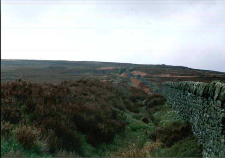
Follow the path 'marked to the stone circle' SK242963( space for a few cars ). An enormous earthwork stretches for about a mile onto the skyline. It follows roughly the line of the stone wall that you see on your left. A little further on the path forks, take the right one and look for a wooden post in the undergrowth on your right, circle is here. The local parish council try to keep the site from becoming too overgrown.

 Maps / Plans / Diagrams:
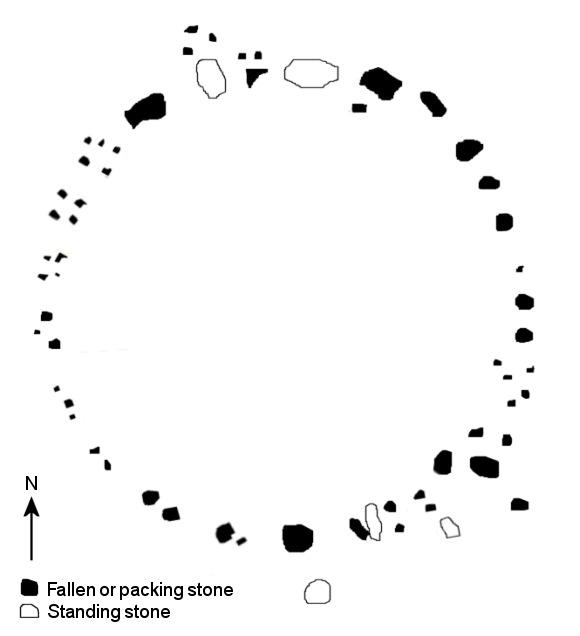
 Posted by Chris Collyer
 Posted by daveyravey