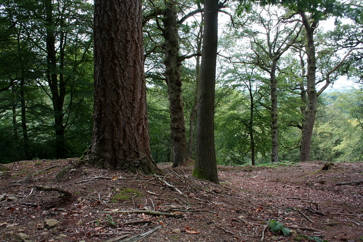
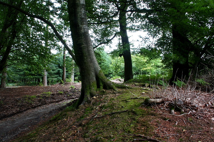
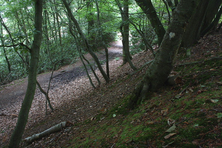
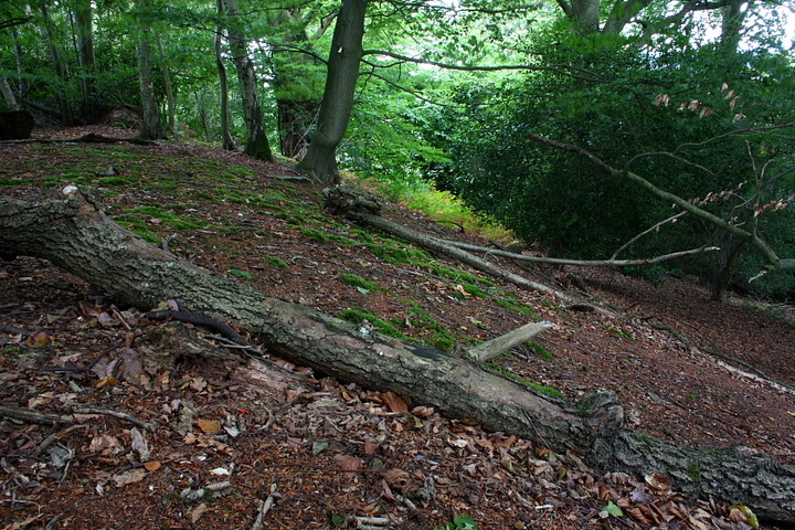
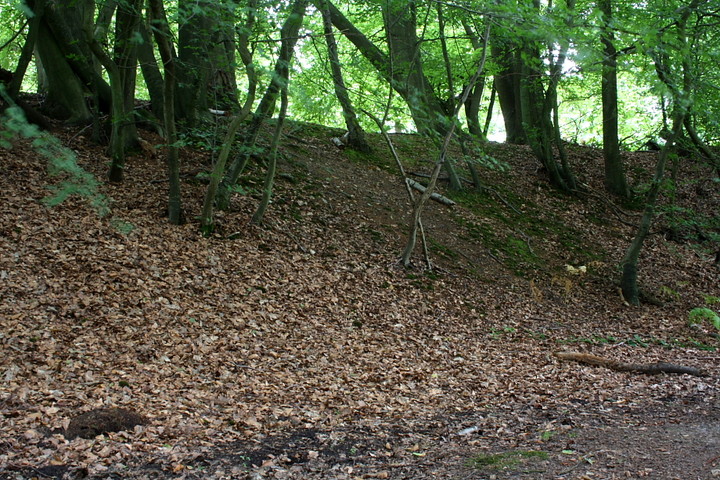
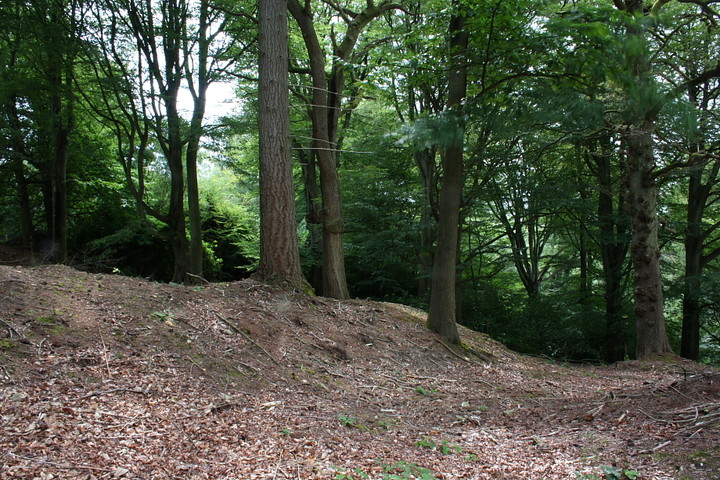
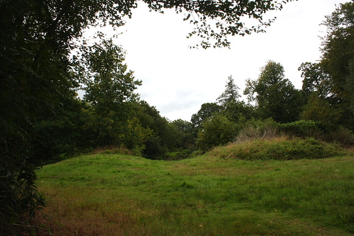
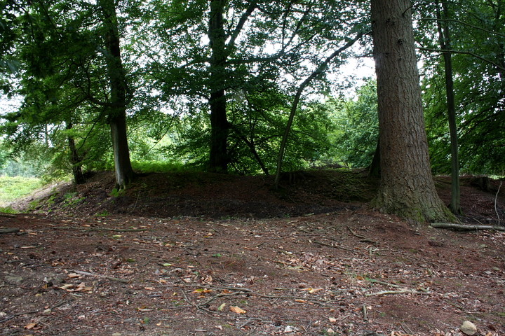
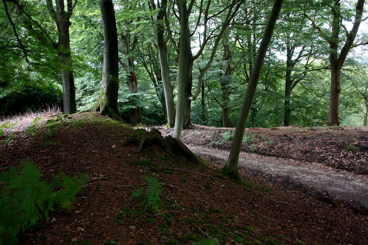
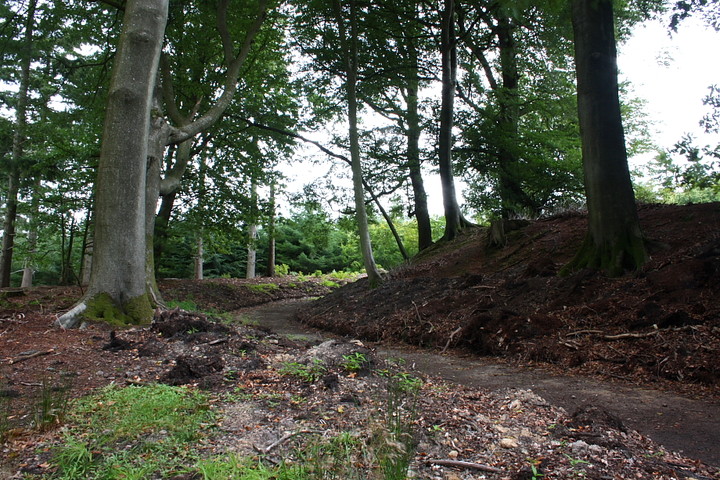
Log in
|
Register
Home
Latest Posts
Forums
Maps
Help
Browse Sites
News
Blog
Contributors
The Books
Select
-
Belgium
Denmark
Eire
France
Greece
Italy
The Netherlands
Norway
Portugal
Republic of Malta
Spain
Sweden
Switzerland
United Kingdom
England
Southern England
Surrey
Hascombe Hill
Promontory Fort
Hascombe Hill (Promontory Fort) on The Modern Antiquarian, the UK & Ireland's most popular megalithic community website. 13 images, plus information on many more ancient sites nearby and across the UK & Ireland.
Image © Robert Gladstone
Nearest Town:
Godalming (6km NW)
OS Ref (GB):
TQ004386 /
Sheet: 186
Latitude:
51° 8' 14.24" N
Longitude:
0° 33' 53.18" W
Added by
GLADMAN
Images (13)
0 discussions
Start a topic
Show |
Hide
Web searches for Hascombe Hill
Flash Earth
Flickr
Google
Google Images
MAGIC
The Megalithic Portal
Bing
Stone Pages
Streetmap.co.uk
Wikipedia
Show map
(inline Google Map)
- Sites within 20 km -
-
St Catherine's Hill (9.65km NNW) (3 posts)
Thursley Common (9.72km W) (2 posts)
St Martha's Hill (9.98km NNE) (1 post)
Holmbury Camp (10.98km ENE) (12 posts)
Abinger Manor (12.94km ENE) (4 posts)
Crooksbury Common (13.19km W) (2 posts)
Deerleap Wood Barrow (14.74km NE) (8 posts)
Frensham Common (15.18km W) (6 posts)
Anstiebury Hillfort (15.87km ENE) (16 posts)
Bourne Wood Barrow (16km W) (2 posts)
Barossa Barracks Barrow (19.31km WNW) (2 posts)
Skirmishing Hill Earthwork (19.85km WNW) (1 post)
- Add -
-
Add news
Add an image
Add fieldnotes
Add folklore
Add miscellaneous
Add a link
-
Add a site
Add a nearby facility
Add an alternative name/spelling
Images
(click to view fullsize)
Add an image
Photographs:
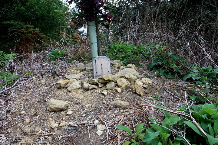
Artistic / Interpretive: