|
|

|
|
Surrey
|
|
|
|
Sites in this group:
|
4 posts
Abinger Manor Ancient Village / Settlement / Misc. Earthwork |
4 posts
Albert Road Barrow Round Barrow(s) |
21 posts
Anstiebury Hillfort Hillfort |
|
4 posts
Ashtead Common Earthwork Ancient Village / Settlement / Misc. Earthwork |
2 posts
Barossa Barracks Barrow Round Barrow(s) |
1 post
Barrowhills Bowl Barrow Round Barrow(s) |
|
2 posts
Bourne Wood Barrow Round Barrow(s) |
4 posts
Brentmoor Heath Barrows Round Barrow(s) |
20 posts
Caesar's Camp (Aldershot) Hillfort |
|
10 posts
Castlehill Wood, Godstone Promontory Fort |
3 sites
Chobham Common |
3 posts
Cockadobby Hill Barrow Round Barrow(s) |
|
12 posts
Crooksbury Common Round Barrow(s) |
8 posts
Deerleap Wood Barrow Round Barrow(s) |
13 posts
Dry Hill Hillfort |
|
1 post
Flutters Hill Bowl Barrow Round Barrow(s) |
16 posts
Frensham Common Round Barrow(s) |
10 posts
Godstone Barrow / Cairn Cemetery |
|
14 posts
Hascombe Hill Promontory Fort |
3 posts
Heath Brow Barrows Barrow / Cairn Cemetery |
2 posts
Hillbury Hillfort |
|
12 posts
Holmbury Camp Hillfort |
8 posts
Hornley Common Barrow Round Barrow(s) |
19 posts
Horsell Common Round Barrow(s) |
|
5 posts
Pyrford Stone Standing Stone / Menhir |
12 posts
Reigate Heath Barrow / Cairn Cemetery |
1 post
Skirmishing Hill Earthwork Ancient Village / Settlement / Misc. Earthwork |
|
13 posts
Stanwell Cursus Cursus |
2 posts
Stanwell Enclosure Enclosure |
9 posts
St Ann's Hill Hillfort |
|
3 posts
St Catherine's Hill Sacred Hill |
6 posts
St George's Hill Hillfort |
1 post
St Martha's Hill Ancient Village / Settlement / Misc. Earthwork |
|
3 posts
Thursley Common Standing Stone / Menhir |
1 post
Tumble Beacon Round Barrow(s) |
4 posts
Turners Hill Round Barrow(s) |
|
4 posts
Wisley Common Bell Barrow Round Barrow(s) |
4 posts
Wisley Common Bowl Barrow Round Barrow(s) |
4 posts
Yeoveny Causewayed Enclosure Enclosure (Destroyed) |
Sites of disputed antiquity:
|
6 posts
The Negen Stones Standing Stones |
News |
|
|
Ancient site hope after airborne scanner used in Surrey ...an archaeological survey near Haslemere may have revealed an ancient hill fort and burial mound. More here: http://www.bbc.co.uk/news/uk-england-surrey-26006992 |
 Posted by scubi63
2nd February 2014ce |
|
Update on North Park Farm Archaeologists at the mesolithic site have found "more than 1,000 finds ranging from shards to complete axes and entire pots." More from the BBC here |
 Posted by Hob
22nd September 2005ce |
Mesolithic site found in East SurreySounds great until you hear it was only discovered because someone wants to turn the site into a quarry.. from The Times: An excavation has turned up flint tools and cooking pots from about 10,000 years ago at a site on the North Downs in Surrey... continues... |
 Posted by Rhiannon
25th August 2005ce |
Skip yard could drain river and ruin Bronze Age siteA proposed skip yard near Waddon Ponds could drain the River Wandle and destroy the remains of a Bronze Age settlement, a local historian has warned. Plans to house the storage site on derelict land on the corner of Croydon Road and the Purley Way have outraged local residents and environmentalists... continues... |
 Posted by Jane
30th August 2003ce |
Latest posts for Surrey |
Showing 1-10 of 278 posts. Most recent first | Next 10 
Turners Hill (Round Barrow(s)) — Links |
Turners Hill Triple Bell BarrowPretty rare, apparently... |
 Posted by GLADMAN
27th February 2024ce |
Anstiebury Hillfort — Folklore |
A legend survives in connection with the storming of Entons Castle [at Capel], which relates that the Danes, having captured the stronghold, carried away the castle gates and bell to Anstiebury Camp, whither they also took the female captives accumulated in the course of their victorious progress through the Hundred of Wotton.Walter Moore in the Dorking and Leatherhead Advertiser, 24th June 1905. |
Posted by Rhiannon 21st June 2023ce |
Crooksbury Common (Round Barrow(s)) — Links |
Long HillRecommended should one perhaps fancy a respite from this 'brave new world'... |
Posted by GLADMAN 19th May 2023ce |
Frensham Common (Round Barrow(s)) — Links |
Frensham Common Round BarrowsNot many Wombles up here on Frensham Common... but plenty of wombats. Nevertheless, four impressive round barrows, together with some nice views. |
Posted by GLADMAN 15th May 2023ce |
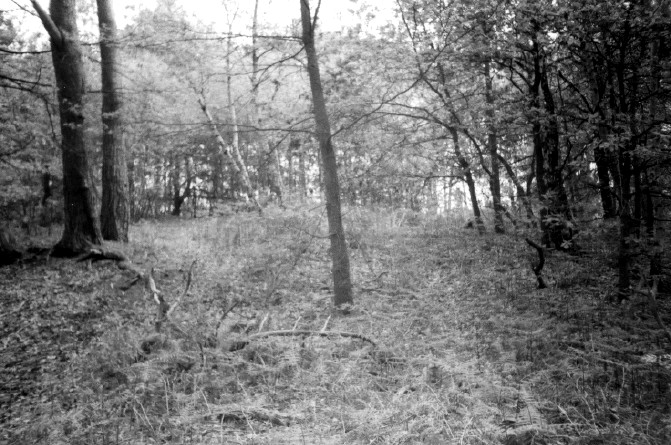
Frensham Common (Round Barrow(s)) — Images (click to view fullsize) |
 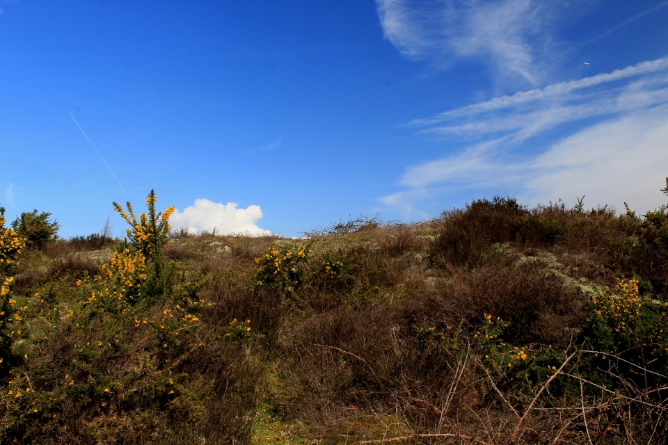  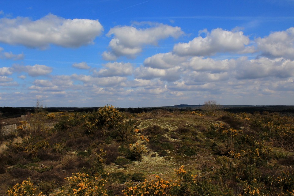  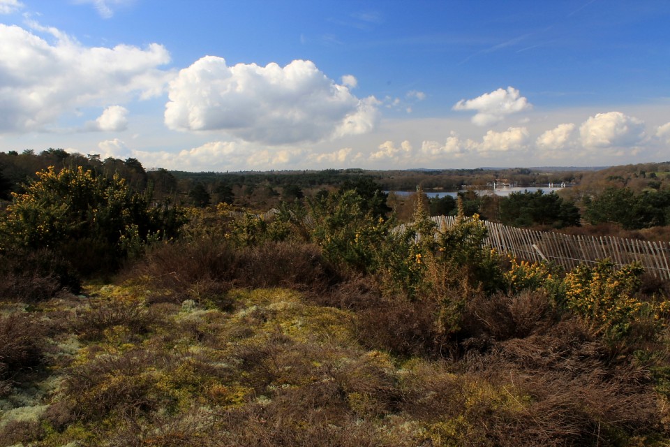
|
Posted by GLADMAN 22nd April 2023ce |
Showing 1-10 of 278 posts. Most recent first | Next 10