White Tor Stone Row
Stone Row / Alignment
White Tor Stone Row (Higher White Tor Stone Row) (Stone Row / Alignment) on The Modern Antiquarian, the UK & Ireland's most popular megalithic community website. 8 images, 1 fieldnote, 1 weblink, plus information on many more ancient sites nearby and across the UK & Ireland.
Image © Robert Gladstone
Also known as:Higher White Tor Stone Row
Nearest Town: Tavistock (14km WSW) OS Ref (GB): SX619783 / Sheet: 191 Latitude: 50° 35' 14.85" N Longitude: 3° 57' 3.96" W
Web searches for White Tor Stone Row
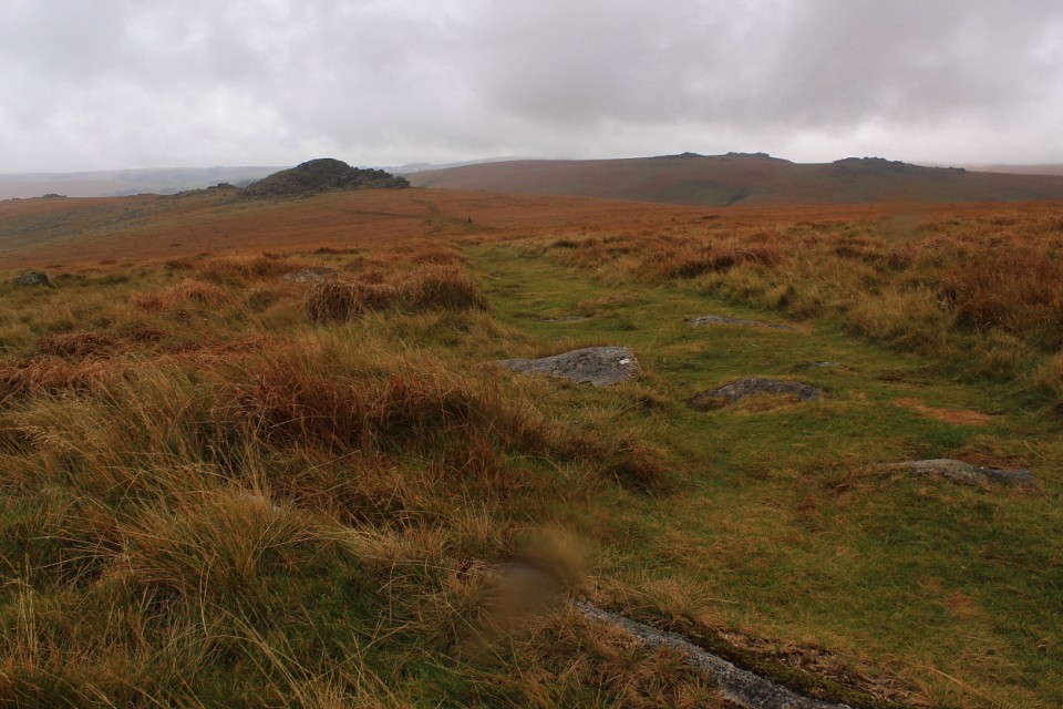
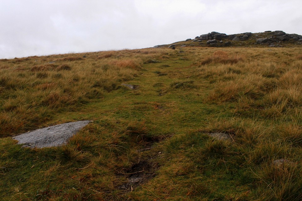
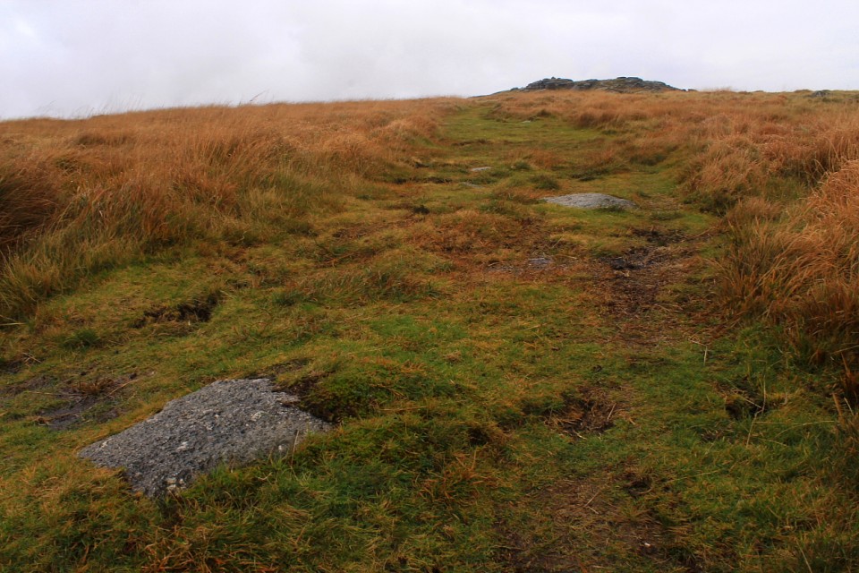
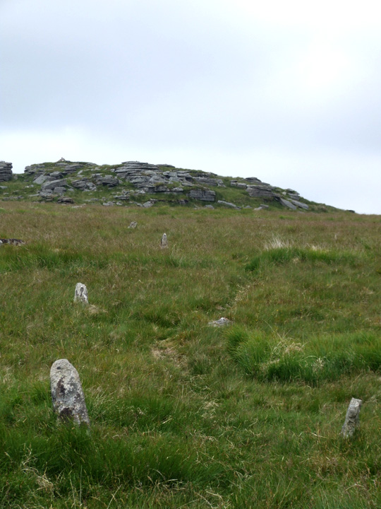
This double row of stones runs downhill going south from Higher White Tor keeping the ridge on your right. The stones are small and i would imaging would be hard to find once mid summer has passed and the grass has grown.
Posted by Mr Hamhead
Posted by GLADMAN


 Maps / Plans / Diagrams:
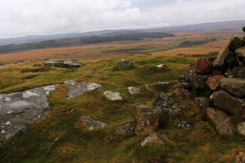


 Posted by GLADMAN