
Rutherford’s Witnesses with a yard stick for measurement.
Image credit: Mark Johnstone

Rutherford’s Witnesses with a yard stick for measurement.
I’ve had an ambition to visit Rutherford’s Witnesses for some time however its apparent inaccessibility always thwarted an attempt. I am not enamoured of Samuel Rutherford himself, a religious Zealot, but I wanted to solve the mystery.
As I was perusing OS Maps recently I found a track which led to the vicinity of Rutherford’s Witnesses.
Travelling from Stranraer on the A75 I took the first L for Anwoth around 1 mile after passing The Teapot at Skyreburn. There is a lay-by to park in just around the corner. Walk back down to the junction and turn R up a narrow un-signed farm track. After around 0.5 mile I passed beside a small cottage (Hard Croft) and continued up the hill. After around 300 yards there was a faint track heading L downhill. I ignored this track, heading straight on. The track then bears N becoming vague in places heading uphill though rough whins for around 500 yards. I was lucky enough to see two groups of Fallow Deer, surprised to get a visitor. The path runs out in a rectangular flat clearing surrounded by whins. This could be the football pitch mentioned in the account. Using my GPS I zeroed in on the co-ordinates taken from the Camore map. Canmore has pinpointed 3 stones at Rutherford’s Witnesses, a pair at NX 572674 55608 and NX 57267 55609 with one stone c. 20 metres E located at NX 57253 55603. After some searching amongst the ferns I found three stones some 20 yards NE of the ‘football pitch’. There was a pair of stones at NX 57268 55613 and NX 57269 55616 with a third stone 25 yards W at NX 57256 55611.
These stones are within 10 metres of the expected grid references so it is not unreasonable to propose them as Rutherford’s Witnesses. The stones are between 1.5 and 2 foot high which is not huge but they are the only stones left in a cleared area.

Looking NE to Carn Liath, Alness, Obsdale Road in the background.

Looking NW to Cist in centre of Carn Liath, Alness.


Carn Liath, Alness capstone, viewed from NW.
Carn Liath, Alness Cairn
Many TMA’ers will have driven past this cairn, sited in a field E of Alness on the A9. I saw what I imagined to be a cairn surrounded by a ring of trees. Just for once I was correct.
Canmore ID 13615 (go to Links) confirms the existence of a 60 ft cairn which was removed about 1810. A substantial capstone was left covering a 3 1/2 x 2 1/2 x 2 ft cist.
A circular stone wall was built inside the cairn boundary and trees were planted round the levelled interior.
These trees have grown tall but the level grassy interior and central cist and capstone are still preserved. Somehow the ring of mature trees round the naked cist give this site a sacred aspect.
Directions: Turn off the A9 to Alness, turn L along Obsdale Road, turn L into Kendall Crescent then L again into Salvesson Crescent. The cairn lies within 150 yards E of this location.


Carburrow Tor Cairn W, less impressive than its companion.
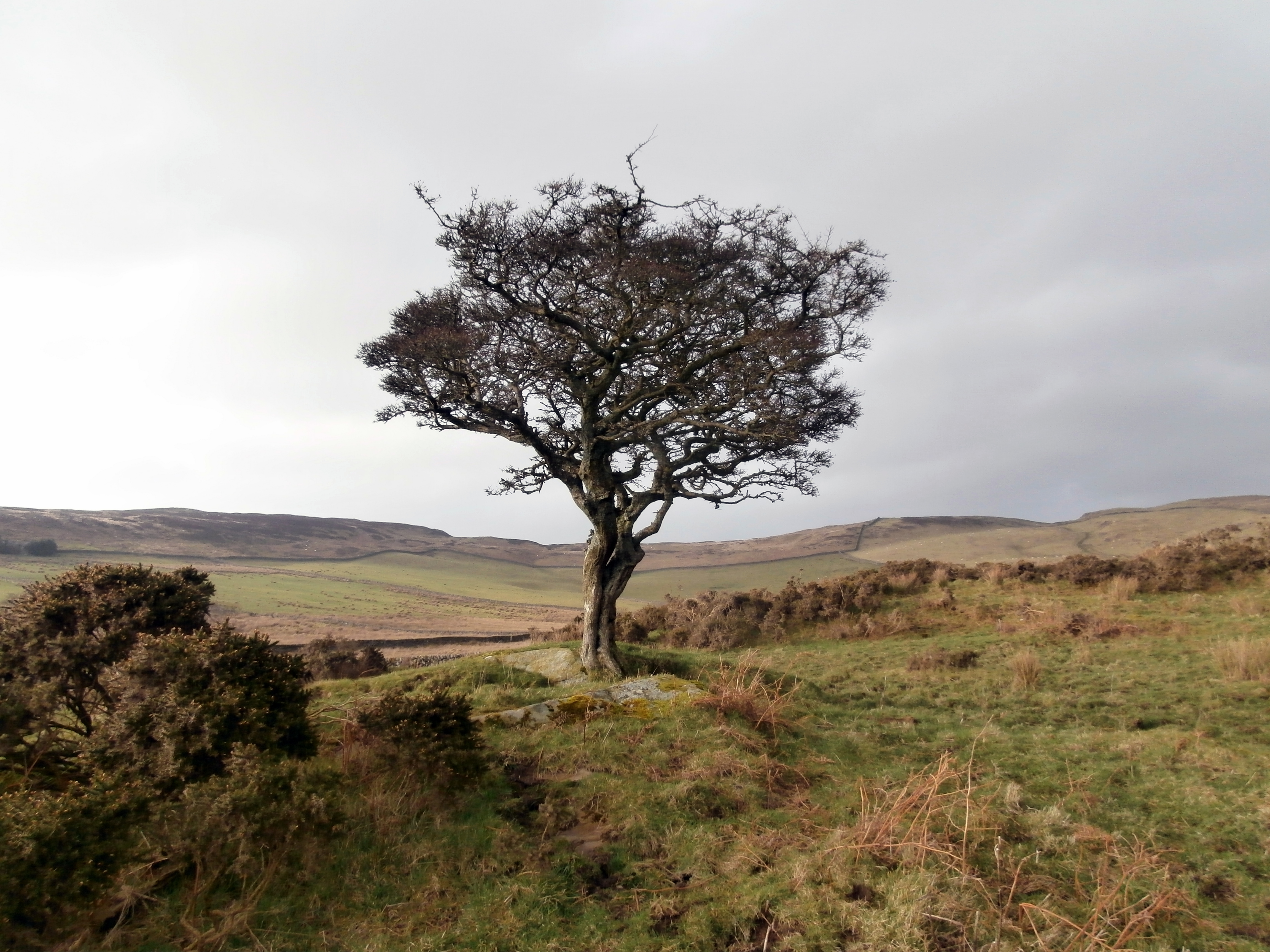

Cairnholy 05 in situ as at 08.03.14

Barclye Rocking Stone viewed from the knoll, located in the centre of the picture.

Barclye Rocking Stone W face looking E to Knockman Wood.

Barclye Rocking Stone overhang viewed from S.

Barclye Rocking Stone overhang viewed from N.

Barclye Rocking Stone S face hollow.

Group of 3 drilled holes in W face of Barclye Rocking Stone.
Barclye Rocking Stone is a boulder perched on the edge of a rock ledge on Barclye Moor. The ground on the E of the stone has been eroded leaving a 2 foot overhang. Barclye Rocking Stone is almost cuboid in shape. It measures 5.5 feet high, 5.5 feet wide and 4.5 feet broad. The boulder has 5 natural hollows: 1 on the N face, 3 on the E face and 1 on the S face. There are 4 drilled holes: 1 on the E face and a group of 3 on the W face.
The stone is situated in moorland with tussocks, marsh, and deep holes. Walking in this terrain is difficult and a walking stick is advisable.
Directions: From Newton Stewart cross the Cree Bridge into Minnigaff and turn L after 50 yards. Stay on this road for 0.5 mile, turn L for Wood of Cree Reserve. Follow this narrow single track road for 0.5 until you reach Boreland Wood. Turn R at Knockman Wood Path, go through a gate up to the car park. Follow the pink route past Boreland Cairn uphill until you reach a gate on the edge of Knockman Wood 1.75 miles later. Turn L, following the edge of the wood through rough ground for around 300 yards until you reach a silver gate. You will see a high deer fence on your R. Climb the deer style into a small plantation. Follow the deer fence downhill for 300 yards through boggy ground until you reach a ruined dry stane dyke. There is a knoll 30 yards W of you (45 degrees to the deer fence). Climb the knoll, look W and Barclye Rocking Stone is 300 yards away. Make your own way carefully through pathless difficult terrain. It may be easier to skirt the dry stane dyke for the first section but you still have to cross a boggy section E of the stone.
At the Cross is The Hare Stane, moved here from its original site in a field off Charles Avenue. The boulder had a long tradition of witchcraft and evil spirits associated with it, but in 2000 it was moved to its present position and a sealed “Millennium Box” placed beneath it.
The above quote is taken from P.232 Ayshire: Discovering A County by Dane Love (2003).
Possible standing stone 30 yards S of Bagbie Cairn built into a dry stane dyke.

Possible standing stone 30 yards S of pair of orthostats on Bagbie Cairn.
I revisited Bagbie cairn complex to investigate a speculative standing stone listed as Canmore ID 281565 (go to Links). There is an earthfast stone c. 3 feet by 3 feet built into the dry stane dyke 30 yards S of the pair of stones in Bagbie Cairn. It is in direct alignment between the cairn and Bagbie standing stone. The stone, located at NX 4979 5635, is an intriguing addition to a complex site.
There is a public path to the cairn starting at the right angle bend just before Bagbie Sheds however the sign has fallen to the ground.
I revisited Bagbie cairn complex to investigate a speculative standing stone listed as Canmore ID 281565. There is an earthfast stone c. 3 feet by 3 feet built into the dry stane dyke 30 yards S of the pair of stones in Bagbie Cairn. It is in direct alignment between the cairn and Bagbie standing stone. The stone located at NX 4979 5635 is an intriguing addition to a complex site.
There is a public path to the cairn starting at the right angle bend just before Bagbie Sheds however the sign has fallen to the ground.
Kirriemore Cairn

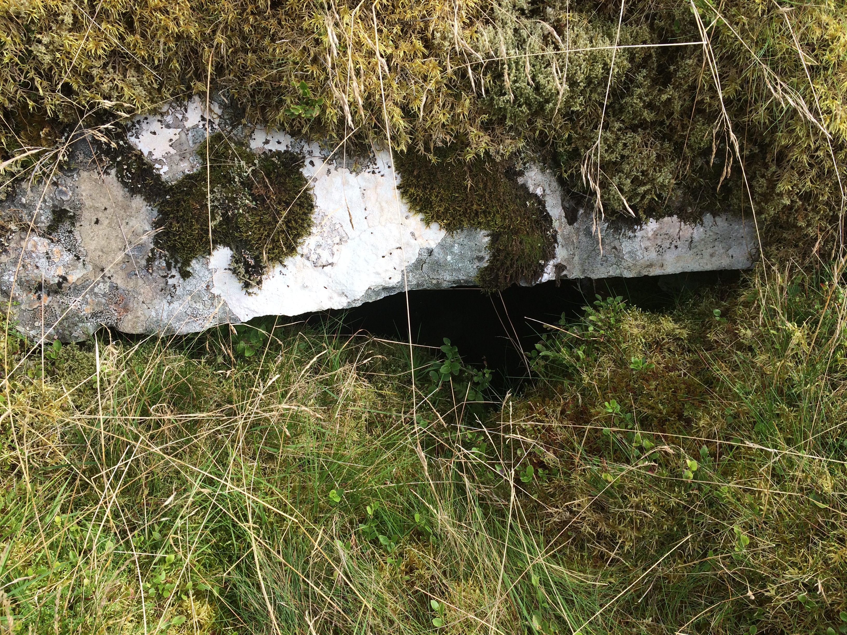

Passage and chamber exposed on a E-W axis of Kirriemore Cairn.


Kirriemore Cairn is hidden in mature forest c. 3 miles W of Kirriereoch Hill. It is a chambered cairn c. 30 yards across constructed on a slope. There has been extensive robbing on the W hemisphere and an off-centre excavation exposing a chamber in the S hemisphere. The entry into the chamber is narrow so I didn’t try to enter, using my camera to view the interior. There is a carpet of green moss on the undisturbed S side covering mostly small stones. Canmore ID 63043 (go to Links) identifies this as King’s Cairn, however there is no local information for this name.
A crude modern cairn has been constructed in the S quadrant of the cairn circle.
Directions: From Newton Stewart take the A714 Girvan road turn R at Bargrenan for Glentrool Village. Follow this road for around 5 miles. Turn R for Kirriereoch on a rough track. Take the 1st R after around 0.75 miles. Follow this track for another 0.75 miles turning R over a bridge. Turn R again for 500 yards then bear L at the next junction. After 0.5 miles the cairn will be on your R in a forest clearing.

Cairn Avel viewed from SE, Carsphairn in the background.
Cairn Avel is a stone cairn, 0.3 miles SW of Carnavel Farm on the outskirts of Carsphairn.
This robbed cairn retains a significant presence on the horizon. The W half of the long cairn has been almost entirely robbed out leaving a low scatter of stones on the W end. A sheepfold and stone walls have been constructed close to Cairn Avel. The E half is almost intact reaching up to 10 feet high, with some excavations. However, the later addition of a c. 3 feet high cairn on top of the E half of Cairn Avel spoils it’s classical shape. The long cairn measures c. 110 feet E-W and c. 75 feet N-S on the E end, tapering to 30 feet on the W end.
Cairn Avel is accessed by following an old pack horse path to Carnavel Farm. Parking is now prohibited at Carnavel Farm junction. Park in a lay-by c. 500 yards NW then walk back to the start of the public path. Walk through Carnavel Farm When the public path heads S up the hill at the start of moorland head N then W round the margin of a rough pasture field to a stone mound c. 250 yards W. This detour avoids boggy ground on a direct route to Cairn Avel. My route can be viewed on Cairn Avel.
Directions: There is room to park at Carnavel Farm junction on the W side of Carsphain just before you cross the bridge. Follow the path to Polmaddy uphill for 1.5 miles until you observe Bardennoch hill trig point on your L. Continue on this path for a further 300 yards then bear NE over moorland until you reach a fence. Follow this fence E for several hundred yards until you reach a gate and dry stane dyke at NX 5685 9120. Bardennoch Cairn in overlain by this dyke.


Small stones carpeted by moss on Bardenoch Cairn NW hemisphere.

Bardennoch Cairn NW hollow containing two larger stones.
Bardennoch Cairn
Bardennoch Cairn is a round cairn situated 1.25 miles S of Carsphairn. It has been reduced to ground level but retains a circular plan around 20 yards in diameter. The cairn is divided by a dry stane dyke, two thirds on the NW, one third on the SE. It is composed almost entirely of small stones covered in soft green moss giving it a patina of age. There is a NW off-centre grassy hollow with two larger stones c. 3 feet by 1 foot within 1 yard of the wall however it is too shallow to be a chamber, more of an exploratory pit. The stones may be remnants of dry stane dyke construction.
Canmore ID 63862 (go to Links) speculates on the existence of a capstone but it was not observed in situ.
Sheuchan’s Cairn


Overview of Sheuchan’s Cairn’s exposed chamber.


An irregular hollow in the NW quadrant of Sheuchan’s Cairn.
I found some old pictures on a flash drive of Sheuchan’s Cairn on Brecklach Hill taken in 2012. Since I had no recollection of where it was or how I got there I decided to visit again to update its current status.
This was indeed fortuitous given the change in Sheuchan’s Cairn circumstances. Previously it had been sheltered in a clearing on thickly forested Brecklach Hill, now it was a clear spot in the devastation that tree felling leaves behind. The cairn itself has not changed.
Sheuchan’s Cairn is a moss covered chambered cairn around 20 yards across by 2 yards high. There have been several desecrations especially in the centre of the cairn in a NE-SW axis. A chamber with a dressed stone has been exposed in the SW quadrant. There is a significant irregular hollow in the NW quadrant which doesn’t resemble a chamber.
Directions: From Newton Stewart take the A714 to Girvan. At Bargrennan turn L for Glentrool Village. Stay on this road for 6 miles until you reach an un-signposted L turn at a crossroads (NX 3645 8508). No unauthorised vehicles are allowed on this road so it’s a long walk or short cycle if you come prepared. Follow this rough forest road for 1.75 miles until you come to a Y junction at NX 3420 8418. Take the L road for around 300 yards, look R and you will see a green spot on the brow of the hill at NX 3379 8387. Make your way around 250 yards through the broken ground, ditches and tree stumps to Sheuchan’s Cairn.
Canmore ID 68800 (go to Links) gives a full description of Sheuchan’s Cairn.

