


Apparently a local ex-archaeologist “once mentioned a mini stone circle on the Grimeston side road (between Staney Hill Rd and Harray Rd”. Another archaeologist friend, who related this, added that there was summat “visible on the S side of the road” but that she thought that “the OAT view is it’s a damaged and unusually wide bell barrow”.


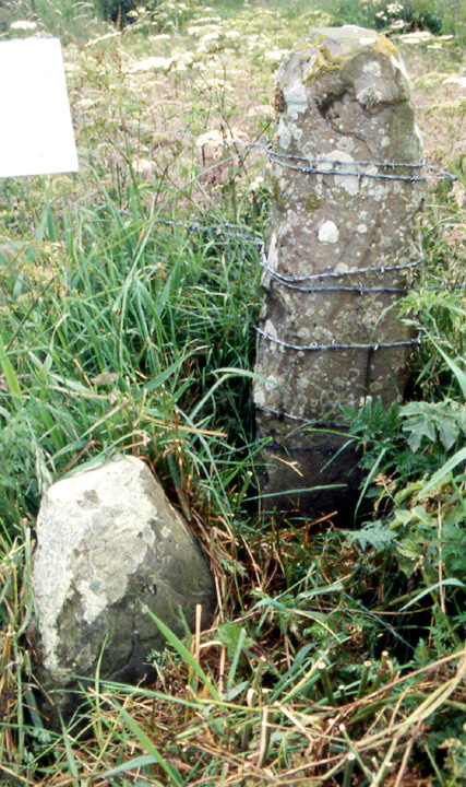


Another angle on 21864/31381, house nearest to lochside


13/8/96-the lovely fencing in the equally lovely industrial estate ;)
can’t delete earlier version


passage seen from chamber, light is oncoming visitor around ‘corner‘


broch headland viewd from east, near to where burn meets sea


possible hearth
site stratigraphy is red sandstone, yellow, greyish/white


The lower chamber.

Back of lower chamber.

A curious looking stone from chamber.
The field has passed into active cultivation. The tractor has gone a little up the side of the mound, exposing more material but nothing significantly different. However, this is how erosion starts. The upright stone at the edge facing the main road seems to have gone, it may have been World War stuff but I still hope it is merely hidden by summer vegetation.


