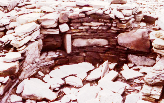
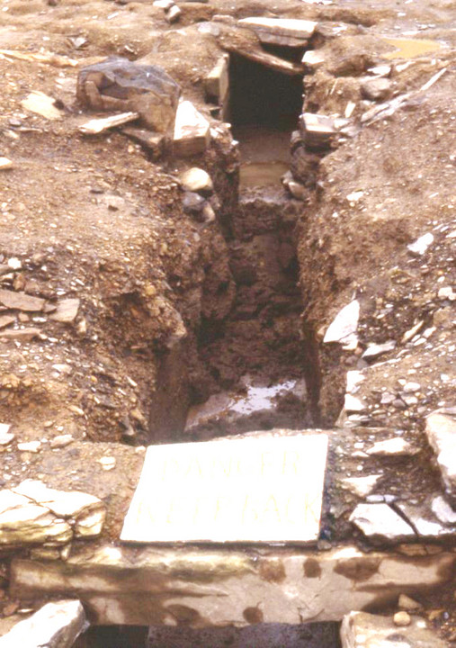
right of image may include turf-covered field boundary wall


Pair of stones where ditch ends at coast HY22980917 & HY22990917. Perhaps a boundary ditch between settlements (Breckness and Brockan or Warebeth). Breckness in background

remains of pair of ‘standing stone fences’ lining top of sides of ditch


view from Tankerness road, slab fence visible other side of loch dates from mid 19thC ‘improvements‘


full depth section across mound

behind showing proposed broch and ringwork

settlement other side of track looking up to present roadside farm


Bottom of ditch 1.1m below level in picture as determined where burn goes under road


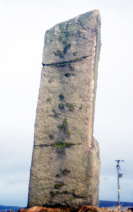

close in , Lochview Broch in background


looking towards Brodgar peninsula, Ring Of Brodgar and Salt Knowe faintly visible on horizon at left.