
Surviving stonework of the southern courtyard house.
Image credit: A. Brookes (29.6.2012)

Surviving stonework of the southern courtyard house.

Inside the southern courtyard. The drystone courses in the centre of the site are the remains of a medieval shelter.

Fine courtyard house in the field immediately south of the Beehive Hut. A medieval structure (beyond the upright gate/door post) has been built inside the Iron Age remains.

Under a typical June 2012 sky.

Detail of the chamber. The dismounted capstone (foreground) is pretty thick.

The “trimmed” capstone, with map for scale. It’s quite small, by quoit standards.

Looking approx south. What a great little site.

Looking NW out to sea.

Looking WSW, with Hannibal’s Carn on the left and the northern outcrop of Carn Galva beyond (right of centre).


Another shot of the low remains of the eastern part of the settlement, looking NW to the sea.

Two fields ENE of the beehive hut are low, overgrown remains of part of the settlement at approx SW437363.

Pair of naturally eroded “cups” in the rocks near the sea within the fort (see Rhiannon’s Folklore post).

Rocky outcrops on the promontory (see Rhiannon’s Folklore post).


Stone in the western arc, showing drill marks(bottom left).

Looking towards Watch Croft.


The cross carved into the stone.

Misty day at The Four Parish Stone. The path that can be seen in the top right leads to Men-an-Tol.

Carn Galva from the west, through mist and rain.

Bosigran Castle, with the ruins of Carn Galva mine in front. Seen from the footpath running up to The Four Parish Stone between Carn Galva and Watch Croft.

Looking towards the prominent headland of the fort, from the south. Fine megalithic gatepost or what?

Looking through the blocked entrance towards Carn Galva.

Looking NE along the coastline from the fort’s interior. The next cliff fort along the coast, the excellent Gurnard’s Head, can be seen in the centre of the picture.

Looking across the curve of the wall towards Carn Galva.

Looking inland from the fort to Carn Galva (left) and Watch Croft (right).

Detail of the impressive remains of the defensive wall.

Approaching the defensive wall, still standing several courses high.

Approaching Bosigran Cliff from the NE, on Halldrine Cliff. The settlement is on the flat area at the top left of the picture.

Seen from Carn Gloose to the SW, as the weather closes in.

Another hut circle platform inside the fort.

The view SW along the coast towards Pendeen, from the rocky top of the headland.

Remains of a hut circle inside the fort interior.


The top end of the rampart cutting off the headland. Looking NE towards Zennor Head.
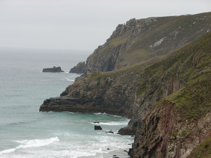
Tubby’s Head from the coast path to the south, near Chapel Porth.


The ditch and bank on the south side of the path, looking towards The Knavocks near Godrevy.

The simple bank and ditch of the rampart.

Approaching down the steep slope from the coast path.


The possible cairn at the northwestern end of the hill (left), looking south towards the main group (right).

The Ordnance Survey 1/25000 shows a single cairn at the northwestern end of the hill. Pastscape doesn’t list anything. This overgrown mound is in the right place, but the vegetation makes it difficult to tell if it is a cairn.
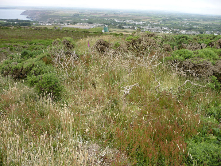
The top of the northern cairn of the trio.

The overgrown northern cairn of the trio at the south end of the hill.

Looking down to St Agnes from the central cairn, with the north coast of Cornwall beyond.