
Detail of stonework in the central cairn.
Image credit: A. Brookes (25.6.2012)

Detail of stonework in the central cairn.
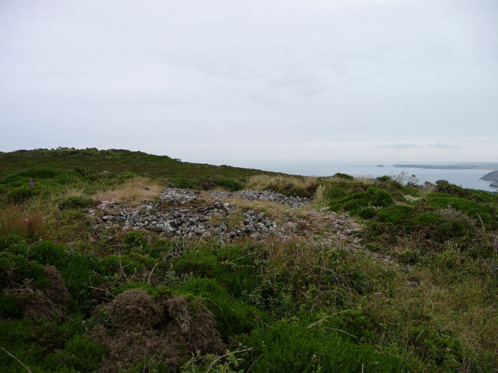
The central cairn of the trio at the southern end of the hill.

Looking back at the Beacon from the central cairn.


Stonework on the top of the Beacon. Not sure if this is stonework from the original cairn or the now-vanished tower. Bolster Bank earthwork runs across the farmland in the middle distance.

Approaching the Beacon itself from the south.

The bank heading SSW, seen over the hedge from footpath at SW717500.

Where the bank is bisected by the road at approx SW717501 (see Pure Joy’s fieldnote). The bank is the big green lump behind the bench.

The Giant Bolster (see Folklore) from George Cruikshank’s illustration for Robert Hunt’s “Popular Romances Of The West Of England”.


Mature trees growing in the fort interior.

Impressive rampart on the southern side of the fort.

The tree-covered round from the road to the southwest.

The Pipers seen from the open top of the 300 bus.

Carn Bean from Carn Kenidjack.

The view towards Tregeseal stone circle from Carn Kenidjack. The circle is at the bottom left of the light coloured fields (centre). The hill on the left skyline is Chapel Carn Brea.


The central chamber/cist.

This year’s CASPN clear-up has revealed more of the stonework of the mound itself.

Portheras Common barrow is now cared for by CASPN, whose invaluable work keeps many of West Penwith’s sites clear and maintained. A path has been cut through the gorse, making for a much less painful visit than in past years (see Moth’s pictures).

Looking south, showing the trackway that the stone stands alongside.


Another view of the repaired and re-mounted Stone 5.

Since our last visit in October 2010, Stone 5 has been repaired (again) and re-erected.

The thick capstone of the central barrow.

Looking across the stones of the chamber in the central barrow towards Carn Kenidjack.

The central barrow. The disturbed chamber can be seen.


The SW barrow, clearer of vegetation than I remember from previous summers.

Stonework on the edges of the SW barrow.


Approaching the group from the SW.

Latest vegetation/grazing update: much of the bracken of previous years around the stones has been replaced by grass.


This summer’s effort is rather more overcast than usual. Note assorted scatter of stones in the foreground.

In the rain at Bodrifty, looking NW towards Hannibal’s Carn.

The NW barrow, like its companion much clearer of vegetation than I have seen it before.


Another view of the cist in the SE barrow.

The cist in the SE barrow (see Miscellaneous post).

The SE barrow, clearer of vegetation than I have seen it before.

Some stonework in the mound of Mulfra Hill A.
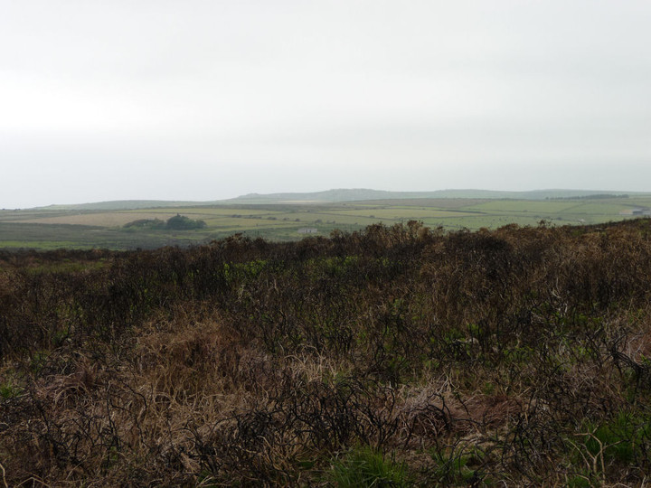
The “poorly defined” Mulfra Hill A (see Miscellaneous post). Looking NE.

Mulfra Hill B, looking SE.

Quartz-veined granite in the construction of Mulfra Hill B.
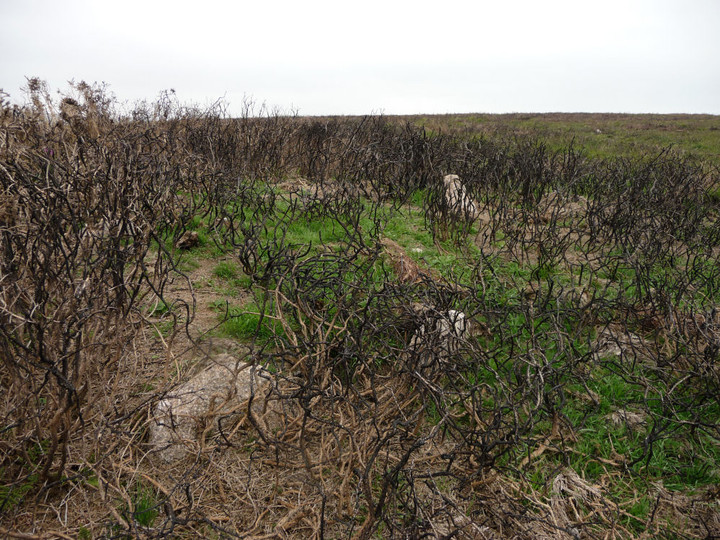
Another view of the kerb, Mulfra Hill B.

Remains of retaining kerb, Mulfra Hill B.