
Landscape context from Raven Crag. Swinside farm foreground, circle centre, Knott Hill right, looking southeast.
Image credit: A. Brookes (21.7.2012)

Landscape context from Raven Crag. Swinside farm foreground, circle centre, Knott Hill right, looking southeast.


The summit trig on Arthur’s Seat. At least the sword-in-stone graffiti is appropriate.

Ysgyryd Fawr seen from the slopes of Hatterrall Hill to the north.

Pen-Twyn camp seen from the SSE on Offa’s Dyke Path. Hatterrall Hill can be seen behind (right) the fort.

The curving funnel leading to the southern entrance. Although less well-preserved, it reminds me of a similar arrangement at nearby Wapley Hill fort.

The sloping interior of the southern part of the fort. G/F provides scale for the entrance.

The NW rampart, under summer bracken.

Some visible stonework protrudes on the eastern side of the mound.


Seen from the Black Darren bronze age cairn, in the Black Mountains to the northeast.

Looking north towards the Cat’s Back ridge.

Looking NW, with the highest Black Mountains’ peaks, Pen y Gadair Fawr and Waun Fach, on the skyline, right of centre.

The possible cup-marked stone has been moved back into the shelter’s wall since I was last here. Any opinions on whether it is a man-made cup?

The sheep shelter built on top of the cairn.


Approaching from the NW along Offa’s Dyke Path.

Looking approx. south across the barrow towards the Sugarloaf.

Loxidge Tump barrow, looking SE towards Hatterall Hill.

The unmistakable profile of becairned Pen y Gadair Fawr, seen from Black Mountain to the NE.

Further landscape context, looking along the scarp edge of Crib y Garth/Black Hill. The Monnow Valley and Herefordshire’s beautiful countryside roll away to the southeast.


Landscape context for the cairn. It sits on a prominent knoll (centre of picture), above the nascent Afon Mynwy/River Monnow. Viewpoint is Offa’s Dyke Path on the slopes of Hay Bluff.

The surviving upright beyond the modern protective arc, like a Boscawen-Un fake. The start of a long walk on a grey day.

The almost imperceptible silhouettes of the two overgrown cairns, surrounded by thick heather.
Looking across the SE cairn towards Carn Galva (centre) and Little Galva (right).

Looking south across the SE barrow towards the unmistakable Ding Dong engine house.

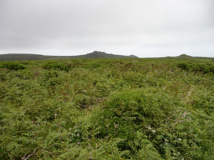
Looking westwards across the very overgrown NW cairn, towards Watch Croft.

Gatepost at the NW courtyard houses.

Looking into the NW courtyard house. There are remains of a cobbled path very like those found at nearby Chysauster. The inner entrance with the fallen post (see previous image) can be seen beyond.

Entrance to the NW courtyard house. One of the posts has fallen and now lies half-buried.

NW courtyard houses.

NW courtyard houses. Looking southeast, with the Beehive Hut just visible, built into field walls on the far left. The Beacon is the hill beyond.

The best preserved of the courtyard houses are at the NW of the settlement. Although rather overgrown, the walls survive to a good height. Looking northeast.

Another view of the earlier hut circle, looking NW towards the Beehive Hut and courtyard settlement. Slopes of Hannibal’s Carn on the left.

Simple hut circle at approx SW438359, looking ENE.

Looking into the round chamber.

Beautiful veined orange granite block in the wall of the Beehive Hut.

Reverse of the previous image, looking from the round chamber into the rectangular one.

Looking through the original low entrance into the round chamber, from the rectangular chamber.

The “modern” entrance into the round chamber.

The Beehive Hut from the southern courtyard house field.


