


Approaching from the northwest. There is a medieval ringwork in the trees beyond.

The cave from the seaward side. Note the huge chucks of shattered limestone strata that were once part of a seabed.

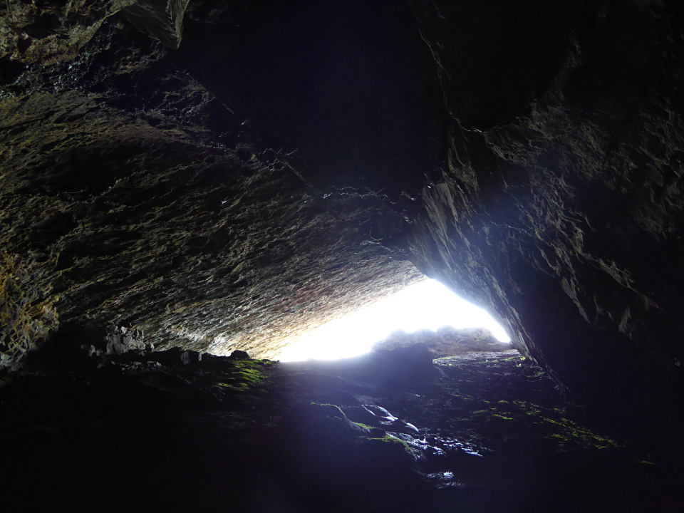
This is one of the biggest caves on the cliffs of South Gower.

The stalagmite at the back of the cave, apologies for shaky image – there wasn’t much light back here.

The back of the cave. The thing that looks like a tree stump is actually the base of a stalagmite.


Inside the partially blocked entrance.

The overhanging opening to the cave.

Bacon Hole from the west. High Pennard promontory fort is on the headland beyond.

Looking towards the western cliffs of the fort, from the limestone foreshore below Deep Slade.

The view westwards towards Oxwich Bay and the cave-riddled East Cliff.

The fort is divided into two by a natural cliff in the limestone. The part of the interior on the west of the cliff is lower than the rest of the site.


Looking over the southeastern cliffs that provide natural defence.

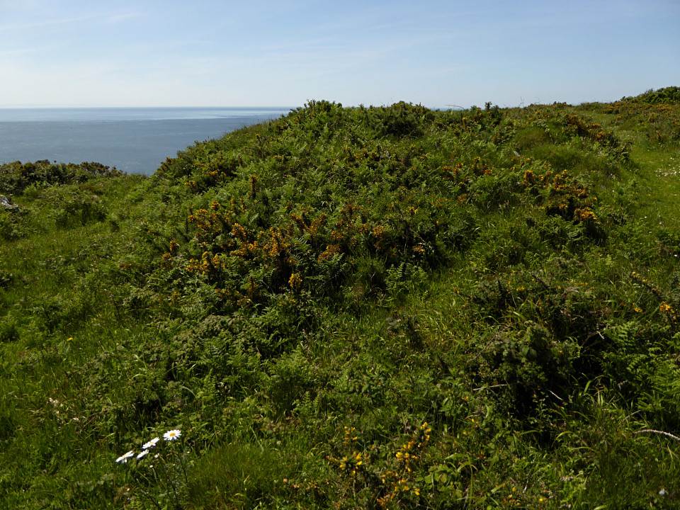
This year’s growth of bracken and gorse starts to claim the ramparts.

Outer rampart, with inner rampart over on the far left.

The fort occupies the headland straight ahead. Beyond is East Cliff with its caves and Oxwich Bay.


Immediately below the fort is Bishopston stream, running along a winding valley before joining the sea at Pwll Du. Getting fresh water would certainly not have been an issue.

The footpath leading up to the fort from the northeast. The fort is just beyond the edge of the trees.

Outer rampart left and inner rampart right.


Looking southeast down the valley towards the sea.
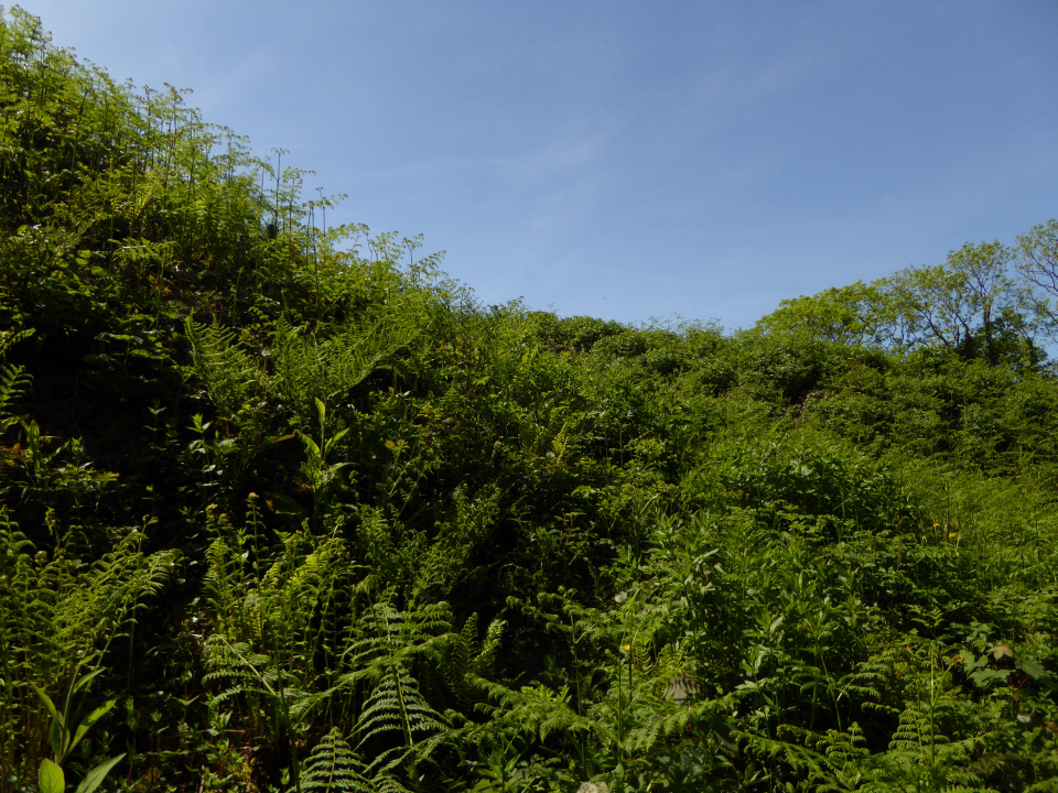
Impressive ramparts loom higher than my head from down at their base.
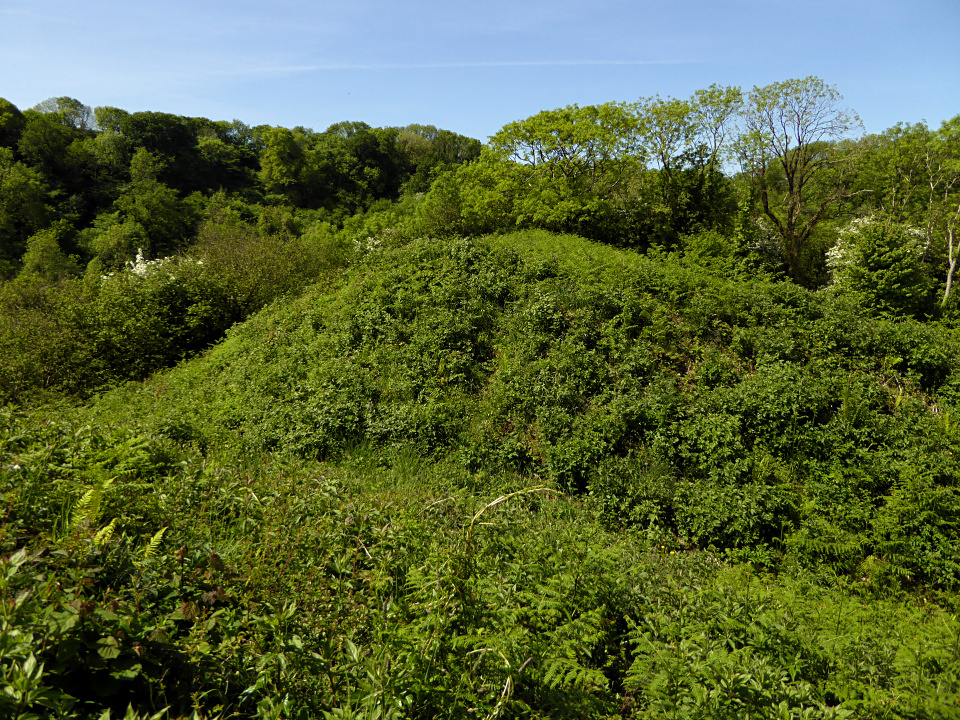
Under all the vegetation, this has probably the best preserved ramparts of any of the south Gower promontory forts.

Looking down on the inner bank and ditch from the outer.

The southern flank of the fort, dropping steeply down to Bishopston Valley.

The promontory fort overlooks the Bishopston Valley, which is now thickly wooded. A little to the east at Hanging Cliff the foliage opens out the give an aerial view of the valley. The fort is down and to the right but obscured by the trees.

Say miss, want to be famous?

The shapeliest of the stones in this area.


Really like this site, the windblown hawthorn bushes add to the setting.

Orthostatic slabs inside the rim of the possible ring cairn at SH61123094.


The possible ring cairn at SH61123094.


