

thesweetcheat


The hillfort occupies the crown of the hill, centre skyline. On the eastern slopes – on the right in the image – are two Iron Age rounds.
Image credit: A. Brookes (21.6.2016)

Ditch of the Iron Age round to the northeast of the hillfort.
Image credit: A. Brookes (21.6.2016)

The inner face of the bank of the Iron Age round to the northeast of the hillfort.
Image credit: A. Brookes (21.6.2016)

The bank of the Iron Age round to the northeast of the hillfort.
Image credit: A. Brookes (21.6.2016)

The outer rampart, covered in bracken, slopes downhill from centre left. Looking northeast towards Carn Brea and Carnmenellis.
Image credit: A. Brookes (21.6.2016)


The Germoe parish war memorial surmounts the rampart. The views towards Mounts Bay and West Penwith are extensive – St Michael’s Mount can be seen in the middle distance, far right of shot.
Image credit: A. Brookes (21.6.2016)

The inevitable shelter built from the stones of the rampart.
Image credit: A. Brookes (21.6.2016)

Looking down on the outer rampart from the inner. The hill in the background is Godolphin Hill.
Image credit: A. Brookes (21.6.2016)

Exposed stonework of the inner rampart on the west side of the fort.
Image credit: A. Brookes (21.6.2016)

The bank and ditch at the south of the fort.
Image credit: A. Brookes (21.6.2016)

Mossy kerbstone on the west of the cairn.
Image credit: A. Brookes (21.6.2016)
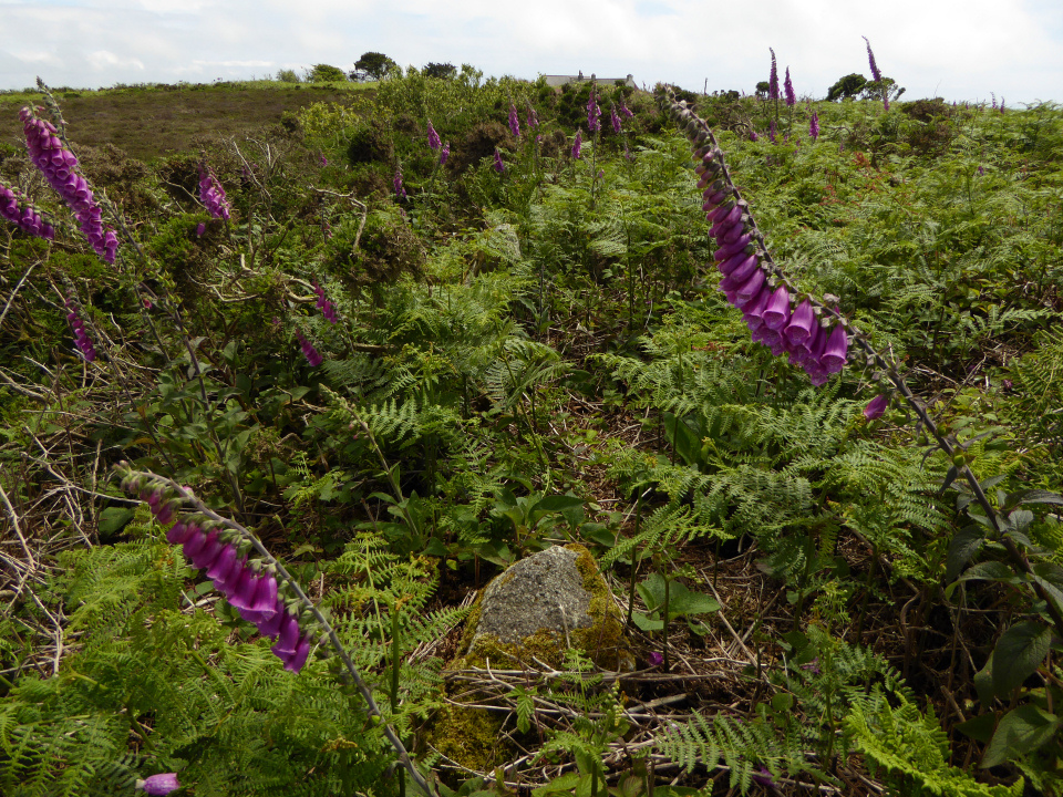
Midsummer foxgloves, bracken and a sprinkling of gorse cover the cairn and obscure the kerb. A winter visit would probably be a better bet, but it’s prettier now.
Image credit: A. Brookes (21.6.2016)

Kerb on the eastern side of the cairn. Castle Pencaire centre skyline, with the hills of West Penwith emerging from the rain on the far left skyline.
Image credit: A. Brookes (21.6.2016)

Looking northeast across the cairn. The prominent hill on the centre skyline is Carnmenellis, topped with a substantial Bronze Age cairn.
Image credit: A. Brookes (21.6.2016)

An exposed quartz vein forms one of the faces of the large granite block inside the cairn.
Image credit: A. Brookes (21.6.2016)
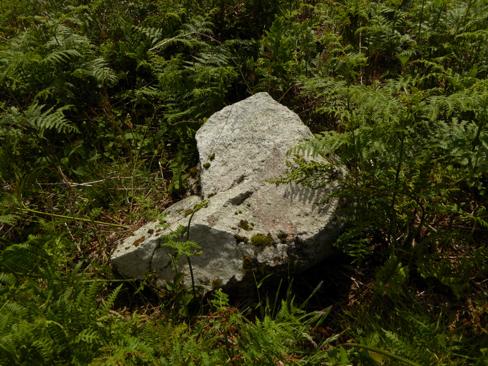
Substantial granite block inside the perimeter of the cairn.
Image credit: A. Brookes (21.6.2016)

The southern arc of the cairn, kerb stone in the foreground, quartz-veined block inside the kerb over to the left.
Image credit: A. Brookes (21.6.2016)

Looking across the edge of the kerb towards Castle Pencaire hillfort.
Image credit: A. Brookes (21.6.2016)

The barrow would be approx. centre skyline.
Image credit: A. Brookes (5.6.2016)

Nope, me neither.
There isn’t any obvious sign that the barrow is avoided when the field is ploughed and planted, but clearly June isn’t the time to visit.
Image credit: A. Brookes (5.6.2016)


Rummaging in the grass it’s easy to see the bank is stone-built, not that that’s any indicator of age.
Image credit: A. Brookes (5.6.2016)

Bank centre, possible ditch on the left.
Image credit: A. Brookes (5.6.2016)

There is a bank, with possible ditch, most prominent on the west of the site. In this photo it runs across from bottom right to centre left (the tree is growing from it).
Image credit: A. Brookes (5.6.2016)

The possible enclosure from the chambered long barrow.
Image credit: A. Brookes (5.6.2016)


The two stones to the south of the chambered tomb.
Image credit: A. Brookes (5.6.2016)

It would certainly make a convincing capstone.
Image credit: A. Brookes (5.6.2016)
